The Old Point in Beaufort in Beaufort County, South Carolina — The American South (South Atlantic)
Tidalholm
Photographed by Brian Anderson, March 25, 2022
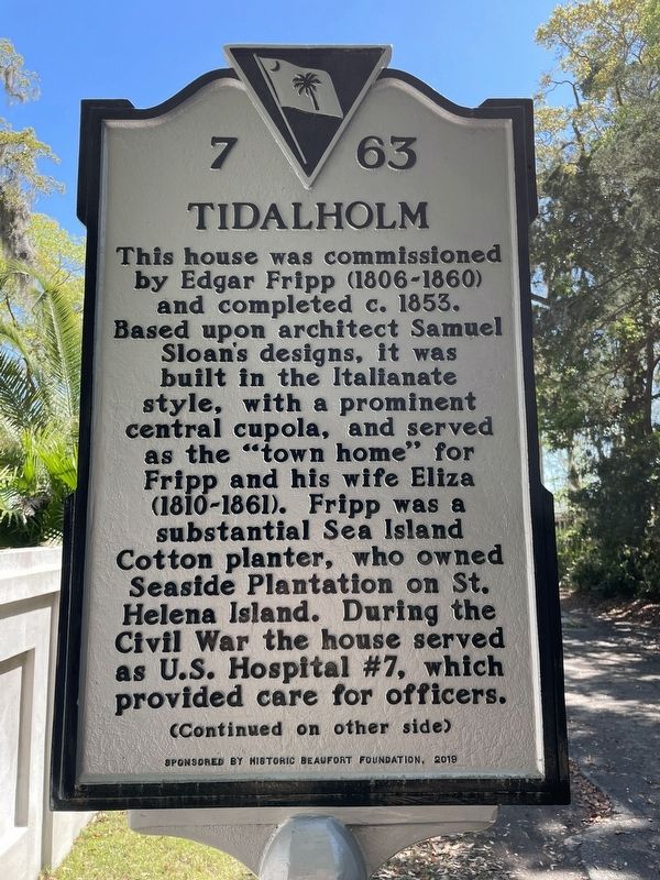
1. Tidalholm Marker, Side One
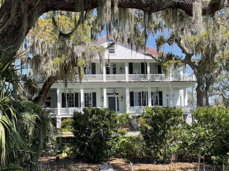
This house was commissioned by Edgar Fripp (1806-1860) and completed c. 1853. Based upon architect Samuel Sloan's designs, it was built in the Italianate style, with a prominent central cupola, and served as the "town home" for Fripp and his wife Eliza (1810-1861). Fripp was a substantial Sea Island Cotton planter, who owned Seaside Plantation on St. Helena Island. During the Civil War the house served as U.S. Hospital #7, which provided care for officers.
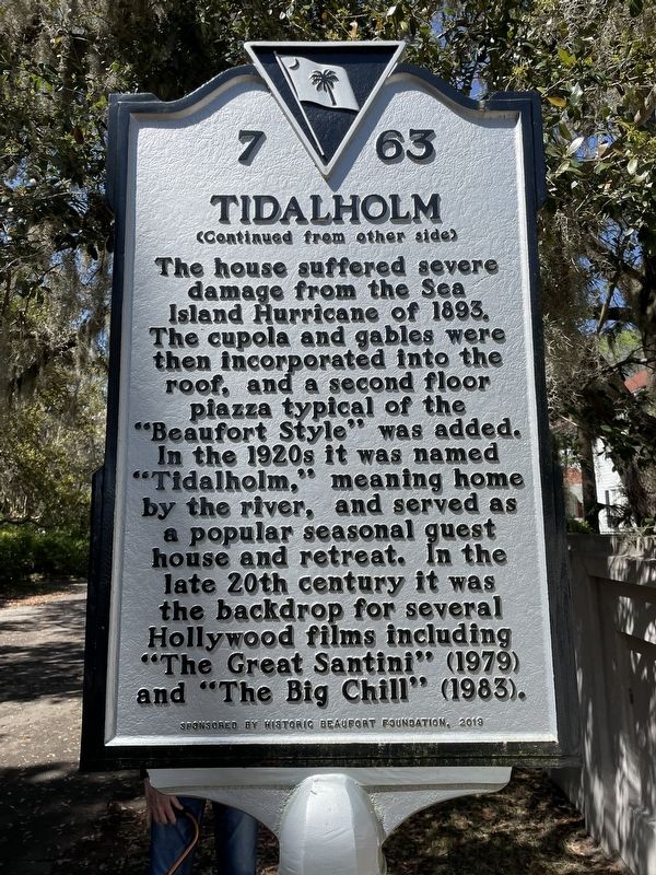
The house suffered severe damage from the Sea Island Hurricane of 1893. The cupola and gables were then incorporated into the roof, and a second floor piazza typical of the "Beaufort Style” was added. In the 1920s it was named "Tidalholm,” meaning home by the river, and served as a popular seasonal guest house and retreat. In the late 20th century it was the backdrop for several Hollywood films including "The Great Santini” (1979) and "The Big Chill” (1983).
Erected 2019 by South Carolina Department of Archives and History; sponsored by Historic Beaufort Society. (Marker Number 7-63.)
Topics. This historical marker is listed in these topic lists: Arts, Letters, Music
this page online
Location. 32° 26.098′ N, 80° 39.872′ W. Marker is in Beaufort, South Carolina, in Beaufort County. It is in The Old Point. It is on Laurens Street, on the left when traveling east. Touch for map. Marker is at or near this postal address: 1 Laurens Street, Beaufort SC 29902, United States of America. Touch for directions.

Regionally, this marker is in the Lowcountry and on the Sea Islands. It is also in the American South, specifically in the Deep South, and on the Eastern Seaboard. Globally, it is in the North Atlantic Region, North America, the Western Hemisphere, the Western World, and the Anglosphere. Historically, it finds itself in what was once New Spain, the territory of the Mississippian Culture, one of the original Thirteen Colonies, one of the Confederate States of America, and the Antebellum South.
Other nearby markers. At least 8 other markers are within walking distance of this marker: First African Baptist Church (approx. ¼ mile away); University of South Carolina Beaufort (approx. 0.3 miles away); Berean Church / J. I. Washington Branch Library
Photographed by Brian Anderson, March 25, 2022
2. Tidalholm Marker, Side Two
Photographed by Brian Anderson, March 25, 2022
3. Tidalholm
Credits. This page was last revised on May 30, 2026. It was originally submitted on February 11, 2024, by Brian Anderson of New Albany, Ohio. This page has been viewed 753 times since then and 150 times this year. Photos: 1, 2, 3. submitted on February 11, 2024, by Brian Anderson of New Albany, Ohio.
Editor’s want-list for this marker. A photo of the marker and the surrounding area in context. • Can you help?
