Wahala in Haho, Plateaux, Togo — West Africa
Togo in 1914
Memorial de Wahala
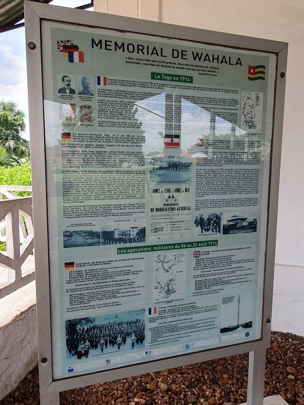
Photographed by J. Makali Bruton, July 20, 2023
1. Togo in 1914 Marker

Togo in 1914
The treaty of the Baguida protectorate signed on July 5th 1884 between Doctor Gustav Nachtigal, the German consul general and Mlapa III, king of Togoville marks the actual beginning of a German colonization. Germany commits to protect the independence of the territory of the kingdom, provided German goods are favored in the territory.
This colonisation remains quite modest as there are few settlers and the German administration is rather small on a 67,000 square km territory. German colonisation will rapidly take over the hinterland through the existing communication routes. The first explorations were primarily scientific expeditions since the Germans aimed at reaching the region's main rivers: the Volta river to the west, the Mono river to the east. In 1885, German colonisation stretches out to Porto Seguro (Agbodrafo). There are no armed forces, little administrative presence and few financial means in the colony.
The situation changes in the 1890s as European public opinion grows interested in Africa: colonial budgets as well as human presence on the territory greatly increase. Political
this page online
When the conflict breaks out on August 1st 1914, Togoland is not affected yet. The German governor seeks to preserve a form of neutrality in front of the French to the east (Dahomey, today's
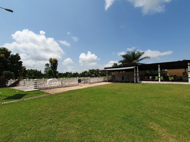
Photographed by J. Makali Bruton, July 20, 2023
2. Togo in 1914 Marker
The marker is under the roofed area to the right of the cemetery.
Military operations of August 6, 1914
First stage: the south of the country from the coastline to 160 km by Kamina
August 6th threats and ultimatum from the British
August 7th: evacuation of Lomé by the German
August 12th: occupation of Lomé by the British
Between 12th and 25th, the Allied troops progress toward the north to the Latitude of Atakpamé until Kamina. This evolution is marked by many combats Lilikope, Agbelouvé, Kpalata and the battle of Chra.
Second stage: the operations in the north of the country.
The operations in the north are not very intense compared to those in the south
They are carried out by troops coming from everywhere:
On August 13th from Upper Volta region (Burkina Faso) under the leadership of Bouchez, Duranthen and Arboussier.
On August 15th French troops coming from the east (Natitingou from Dahomey) under the leadership of Piecissergues.
On August 16th British troops coming from the west (Gold Coast) under the leadership of Bellew.
The objective is to seize the city of Mango
The war ends on the 26th of August
French and German text not transcribed
Topics. This historical marker is listed in these topic lists: Colonial Era • Settlements & Settlers • War, World I. A significant historical date for this entry is July 5, 1884.
Location. 7° 10.468′ N, 1° 10.029′ E. Marker is in Wahala, Plateaux, in Haho. It is on N1, on the right when traveling north. Touch for map. Touch for directions.

Regionally, it is in Africa, Sub-Saharan Africa, and specifically West Africa. Historically, it finds itself in what was once a French colony and also a British Mandate.
Other nearby markers. At least 3 other markers are within walking distance of this marker: The Battle of Chra (here, next to this marker); The Consequences of the War in Togo (here, next to this marker); Wahala World War I Cemetery (a few steps from this marker).
Credits. This page was last revised on February 12, 2024. It was originally submitted on February 12, 2024, by J. Makali Bruton of Washington, District of Columbia. This page has been viewed 264 times since then and 55 times this year. Photos: 1, 2. submitted on February 12, 2024, by J. Makali Bruton of Washington, District of Columbia.
