Near Hasty in Bent County, Colorado — The American Mountains (Southwest)
Santa Fe Trail
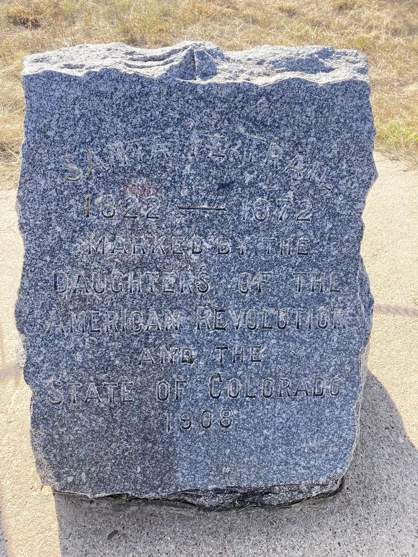
Photographed by Connor Olson, August 30, 2021
1. Santa Fe Trail Marker
1822 - 1872
Erected 1908 by Daughters of the American Revolution (DAR); State of Colorado.
Topics and series. This historical marker is listed in these topic lists: Exploration • Roads & Vehicles. In addition, it is included in the Daughters of the American Revolution (DAR), and the Santa Fe Trail series lists.
Location. 38° 4.974′ N, 102° 57.73′ W. Marker is near Hasty, Colorado, in Bent County. It is on County Highway HH near County Highway 24. Touch for map. Marker is at or near this postal address: 30307 County Road 24, Hasty CO 81044, United States of America. Touch for directions.

Regionally, this marker is in the Eastern Plains. It is also in the American Mountain West, on the Great Plains, on the Southern Plains, on the High Plains, and on the Santa Fe Trail Corridor. Globally, it is in North America, the Western Hemisphere, the Western World, and the Anglosphere. Historically, it finds itself in what was once the Comanchería, the Dust Bowl, and the Republic of Texas.
Other nearby markers. At least 8 other markers
this page online
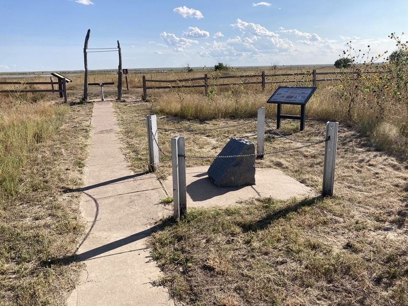
Photographed by Connor Olson, August 30, 2021
2. Santa Fe Trail Marker
Credits. This page was last revised on March 3, 2024. It was originally submitted on August 31, 2021, by Connor Olson of Menomonee Falls, Wisconsin. This page has been viewed 516 times since then and 41 times this year. Last updated on February 13, 2024, by Carolyn Sanders of Plano, Texas. Photos: 1, 2. submitted on August 31, 2021, by Connor Olson of Menomonee Falls, Wisconsin. • Devry Becker Jones was the editor who published this page.
