Gambles Hill in Richmond, Virginia — The American South (Mid-Atlantic)
Electricity for Streetcars
Photographed by Bernard Fisher, November 3, 2009
1. Electricity for Streetcars Marker
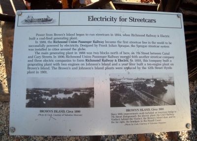
Power from Brown’s Island began to run streetcars in 1894, when Richmond Railway & Electric built a coal-fired generating plant.
In 1888, the Richmond Union Passenger Railway became the first streetcar line in the world to be successfully powered by electricity. Designed by Frank Julian Sprague, the Sprague streetcar system was installed in cities around the globe.
The main generating plant in 1888 was two blocks north of here, on 7th Street between Canal and Cary Streets. In 1890, Richmond Union Passenger Railway merged with another streetcar company and three electric companies to form Richmond Railway & Electric. In 1893, this company built a generating plant with two engines on Johnson’s Island and a year later built a ten-engine plant on Brown’s Island. The Brown’s and Johnson’s Island plants were replaced by the 12th Street Hyrdo plant in 1901.
Topics. This historical marker is listed in these topic lists: Industry & Commerce • Railroads & Streetcars. A significant historical year for this entry is 1894.
Location. 37° 32.033′ N, 77° 26.541′ W. Marker is in Richmond, Virginia. It is in Gambles Hill. It can
this page online

Regionally, this marker is in Central Virginia. It is also in the American South and specifically in the Upper South. Globally, it is in North America, the Western Hemisphere, the Western World, and the Anglosphere. Historically, it finds itself in what was once the territory of the Mississippian Culture, one of the original Thirteen Colonies, one of the Confederate States of America, and the Antebellum South.
Other nearby markers. At least 8 other markers are within walking distance of this marker: Albemarle Paper (here, next to this marker); John Jasper (within shouting distance of this marker); Confederate Laboratory (within shouting distance of this marker); Manchester & Free Bridges (within shouting distance of this marker); Brown’s Island (about 300 feet away, measured in a direct line); "The Headman" (about 300 feet away); R&P Railroad Piers (about 300
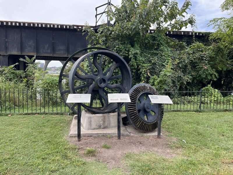
More about this marker. On the lower left is a photograph of "Brown’s Island, circa 1890" (Photo by Cook, Courtesy of Valentine Museum)
On the lower right is a photograph of "Brown’s Island, circa 1905" with the caption, "Since 1890, improvements made included: an iron-truss bridge to 7th Street (foreground); the electric plant; the C&O Railway Viaduct; behind the Viaduct, the Brown’s Island dam; and to the far right, the headgate to the Haxall Canal." (Photo by Cook, Courtesy of Valentine Museum)
Also see . . .
1. Richmond Riverfront Canal Walk. Venture Richmond (Submitted on November 5, 2009.)
2. Brown’s Island. Events, Island history, and directions. (Submitted on November 5, 2009.)
Photographed by Bernard Fisher, November 3, 2009
3. Richmond Riverfront Canal Walk
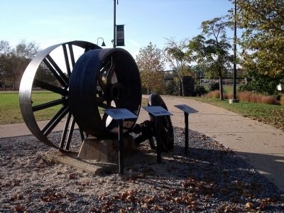
This is the set of markers in its prior environs.
Photographed by Bernard Fisher
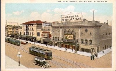
4. Electric Trolleys on Broad Street
VCU Libraries Digital Collections - Rarely Seen Richmond
Credits. This page was last revised on September 8, 2024. It was originally submitted on November 5, 2009, by Bernard Fisher of Richmond, Virginia. This page has been viewed 1,512 times since then and 75 times this year. Photos: 1. submitted on November 5, 2009, by Bernard Fisher of Richmond, Virginia. 2. submitted on September 8, 2024, by Devry Becker Jones of Washington, District of Columbia. 3, 4. submitted on November 5, 2009, by Bernard Fisher of Richmond, Virginia.
