Plain Township in Wooster in Wayne County, Ohio — The American Midwest (Great Lakes)
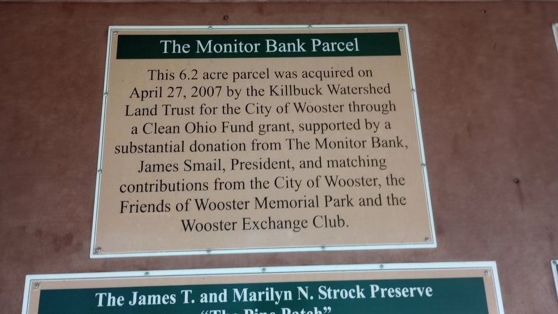
The Monitor Bank Parcel
Photographed by Craig Doda, January 27, 2024
1. The Monitor Bank Parcel Marker
Topics. This historical marker is listed in this topic list: Parks & Recreational Areas. A significant historical date for this entry is April 27, 2007.
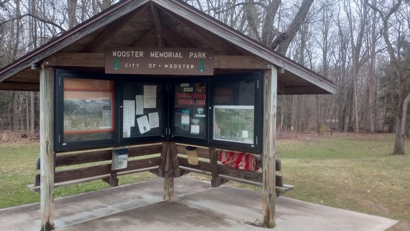
Location. 40° 48.664′ N, 82° 1.402′ W. Marker is in Wooster, Ohio, in Wayne County. It is in Plain Township. It is on Silver Road, on the right when traveling west. The marker is in a kiosk at the parking lot of Wooster Memorial Park. Touch for map. Marker is in this post office area: Wooster OH 44691, United States of America. Touch for directions.

Regionally, this marker is in Amish Country and in Greater Cleveland. It is also in the American Midwest and in the Corn Belt. Globally, it is in North America, the Western Hemisphere, the Western World, and the Anglosphere. Historically, it finds itself in what was once the Haudenosaunee
this page online
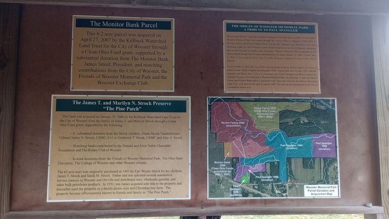
Other nearby markers. At least 8 other markers are within 5 miles of this marker, measured as the crow flies: The James T. and Marilyn N. Strock Preserve (here, next to this marker); The Origin Of Wooster Memorial Park (here, next to this marker); Flora and Fauna of Kenwood Acres Prairie (approx. 0.2 miles away); Charles W. Follis (approx. 4.3 miles away); General David Wooster (approx. 4.4 miles away); Harvey Howard House / Central Christian Church (Disciples of Christ) (approx. 4.4 miles away); The Second Baptist Church ~ where Charles and his family attended services (approx. 4.4 miles away); Wooster, Ohio ~ The early years (approx. 4.4 miles away). Touch for a list and map of all markers in Wooster.
Photographed by Craig Doda, January 27, 2024
2. The Monitor Bank Parcel Marker
Photographed by Craig Doda, January 27, 2024
3. The Monitor Bank Parcel Marker
Credits. This page was last revised on March 8, 2024. It was originally submitted on February 13, 2024, by Craig Doda of Napoleon, Ohio. This page has been viewed 151 times since then and 12 times this year. Photos: 1, 2, 3. submitted on February 13, 2024, by Craig Doda of Napoleon, Ohio. • Andrew Ruppenstein was the editor who published this page.
