Valmeyer in Monroe County, Illinois — The American Midwest (Great Lakes)
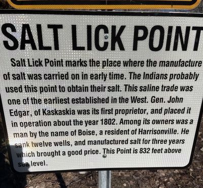
Salt Lick Point
Topics. This historical marker is listed in these topic lists: Industry & Commerce • Native Americans • Natural Resources • Parks & Recreational Areas. A significant historical year for this entry is 1802.
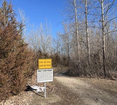
Location. 38° 18.152′ N, 90° 18.529′ W. Marker is in Valmeyer, Illinois, in Monroe County. Marker is at the intersection of Limestone Lane and Quarry Road, on the right when traveling east on Limestone Lane. This is just off of Bluff Rd. Touch for map. Marker is at or near this postal address: 1309 Limestone Ln, Valmeyer IL 62295, United States of America. Touch for directions.
Other nearby markers. At least 8 other markers are within 5 miles of this marker, measured as the crow flies. The Floarke Pavilion (approx. 0.3 miles away); Valmeyer, Illinois (approx. 0.7 miles away); Valmeyer Community Heritage Society (approx. 1.7 miles away); M102 Howitzer (approx. 1.7 miles away); Louis E. Miller (approx. 1.7 miles away); Harrisonville, Illinois (approx. 2.4 miles away); Bond (approx. 4.1 miles away); Pioneer Mill (approx. 4.2 miles away). Touch for a list and map of all markers in Valmeyer.
Credits. This page was last revised on March 3, 2024. It was originally submitted on February 20, 2024, by Thomas Smith of Waterloo, Ill. This page has been viewed 50 times since then. Photos: 1, 2. submitted on February 20, 2024, by Thomas Smith of Waterloo, Ill. • Devry Becker Jones was the editor who published this page.

