Laketon Township in Muskegon in Muskegon County, Michigan — The American Midwest (Great Lakes)
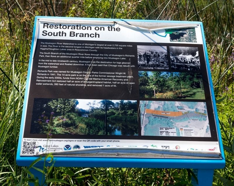
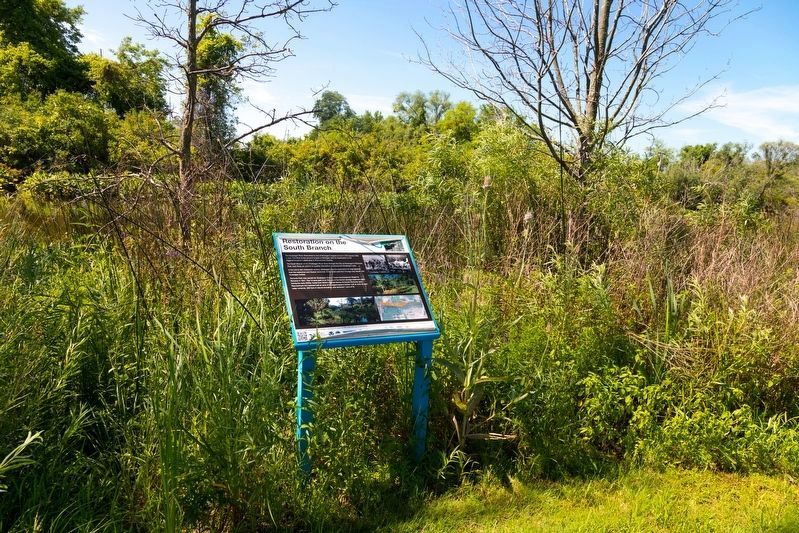
Restoration on the South Branch
The South Branch of the Muskegon River flows through the City of Muskegonís Richards Park, then flows an additional quarter mile before emptying into Muskegon Lake.
In the mid to late nineteenth century, Muskegon was the destination for logs gleaned from the watershed and floated downriver. It has been said that Chicago was rebuilt with Muskegon lumber.
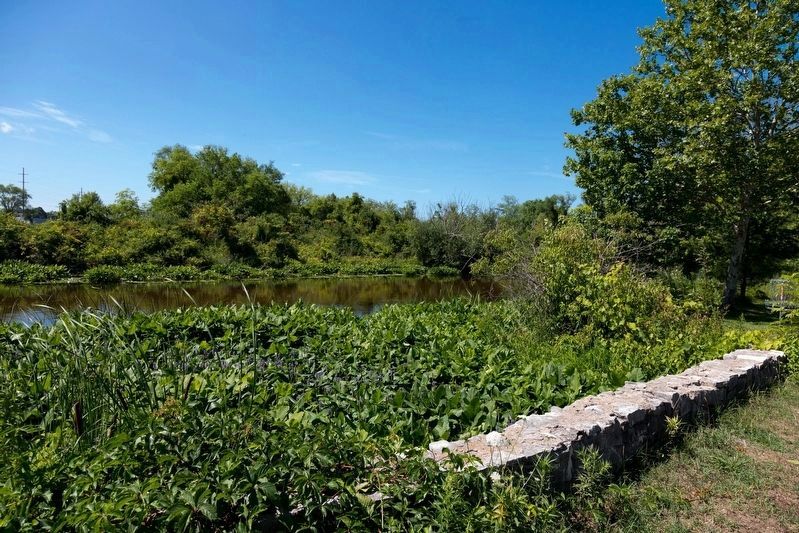
Richards Park was named for Muskegon County Parks Commissioner Wright W. Richards in 1941. The 14-acre park is on the site of the former sewage treatment plant. During the early 2000s, funds from NOAA Coastal Marine American Recovery and Reinvestment Act restored half an acre of emergent/upland habitat, half an acre of open water wetlands, 390 feet of natural shoreline, and removed 1 acre of fill.
Erected by Muskegon County Parks, with grants from the Great Lakes Commission, NOAA, Recovery.gov, West Michigan Shoreline Regional Development Commission, Grand Valley State University, Muskegon Lake Watershed Partnership, The City of Muskegon, Muskegon County, Cardno JFNew, and Jackson-Merkey Contractors Inc.
Topics. This historical marker is listed in these topic lists: Environment • Parks & Recreational Areas. A significant historical year for this entry is 1941.
Location. 43° 15.121′ N, 86° 14.134′ W. Marker is in Muskegon, Michigan, in Muskegon County. It is in Laketon Township. Marker is at the intersection of the North Causeway Street southbound ramp (Michigan Route 120) and Business U.S. 31, on the right when traveling south on the North Causeway Street southbound ramp. It is in Richards Park. The entrance to Richards Park (also known as Boom Park) is on Causeway Streetís southbound ramp to Business US 31 South. This interpretive panel is on the path that parallels the South Branch of Muskegon River. Touch for map. Marker is at or near this postal address: 95 N Causeway St, Muskegon MI 49445, United States of America. Touch for directions.
Other nearby markers. At least 8 other markers are within 2 miles of this marker, measured as the crow flies. Muskegon Log Booming Company (within shouting distance of this marker); Adelphia Grace Ward (approx. 1.3 miles away); Old Indian Cemetery (approx. 1.3 miles away); Muskegon Woman's Club (approx. 1.4 miles away); Central United Methodist Church (approx. 1.4 miles away); Hackley Public Library (approx. 1Ĺ miles away); Buster Keaton (approx. 1Ĺ miles away); Torrent House (approx. 1Ĺ miles away). Touch for a list and map of all markers in Muskegon.
Credits. This page was last revised on February 23, 2024. It was originally submitted on August 2, 2023, by J. J. Prats of Powell, Ohio. This page has been viewed 59 times since then and 23 times this year. Last updated on February 22, 2024, by Carl Gordon Moore Jr. of North East, Maryland. Photos: 1, 2. submitted on August 2, 2023, by J. J. Prats of Powell, Ohio. 3. submitted on August 1, 2023, by J. J. Prats of Powell, Ohio. • J. Makali Bruton was the editor who published this page.


