West Sahara in Las Vegas in Clark County, Nevada — The American Mountains (Southwest)
The Mohave Desert
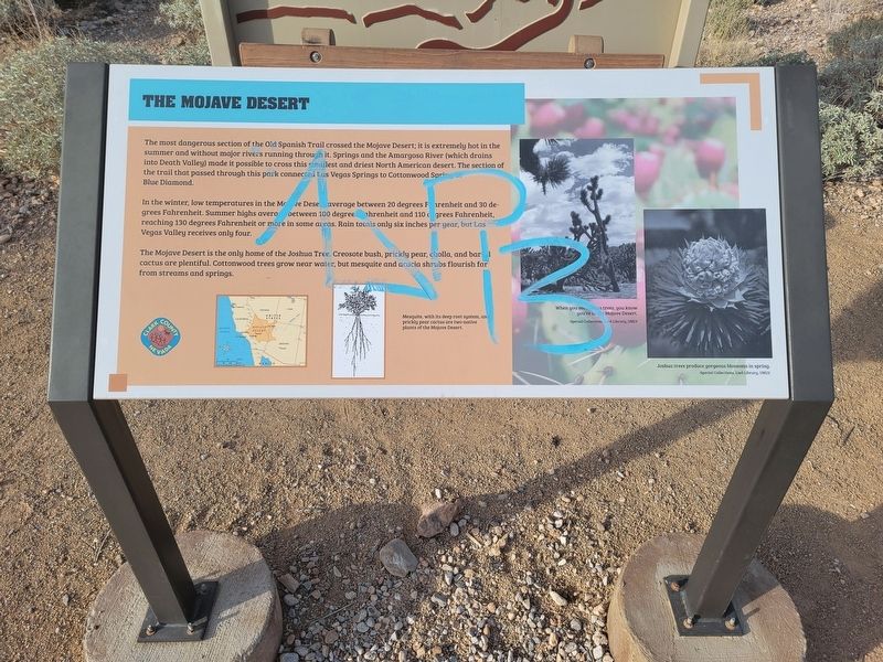
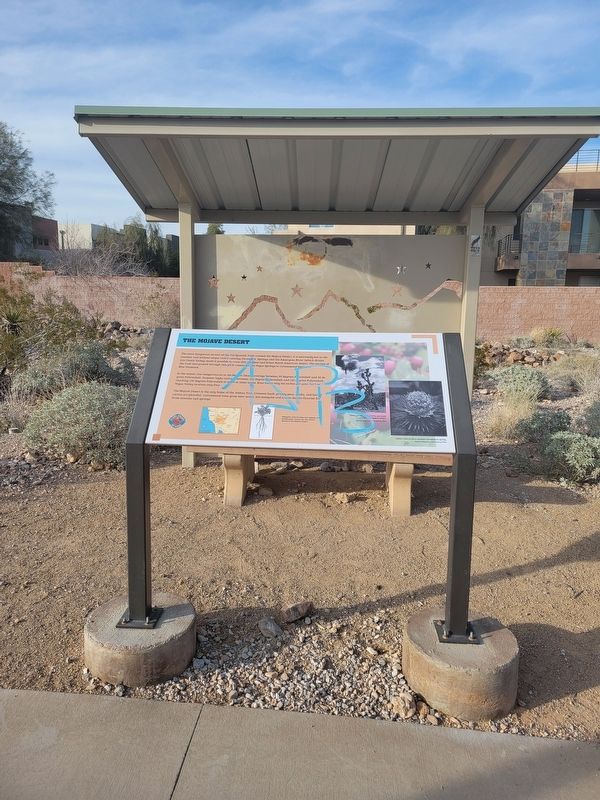
The most dangerous section of the Old Spanish Trail crossed the Mojave Desert; it is extremely hot in the summer and without major rivers running through it. Springs and the Amargosa River (which drains into Death Valley) made it possible to cross this smallest and driest North American desert. The section of the trail that passed through this park connected Las Vegas Springs to Cottonwood Springs at Blue Diamond.
In the winter, low temperatures in the Mohave Desert average between 20 degrees Farenheit and 30 degrees Fahrenheit. Summer highs average between 100 degrees Farenheit and 110 degrees Farenheit, reaching 130 degrees Fahrenheit or more in some areas. Rain totals only six inches per year, but Las Vegas Valley receives only four.
The Mojave Desert is the only home of the Joshua Tree. Creosote bush, prickly pear, cholla, and barrel cactus are plentiful. Cottonwood trees grow near water, but mesquite and acacia shrubs flourish far from streams and springs.
(caption:) Mesquite, with its deep root system, and prickly pear cactus are two native plants of the Mojave Desert.
Erected by Clark County.
Topics and series. This historical marker is listed in these topic lists: Environment • Roads & Vehicles . In addition, it is included in the Old Spanish National Trail series list.
Location. 36° 8.4′ N, 115° 16.149′ W. Marker is in Las Vegas, Nevada, in Clark County. It is in West Sahara. Marker can be reached from Tara Avenue. Marker located along walking path in the Old Spanish Trail Park. Touch for map. Marker is in this post office area: Las Vegas NV 89117, United States of America. Touch for directions.
Other nearby markers. At least 8 other markers are within walking distance of this marker. The Las Vegas Mormon Mission (within shouting distance of this marker); Children and the Old Spanish Trail (within shouting distance of this marker); The Mormon Battle & The Old Spanish Trail (within shouting distance of this marker); Las Vegas Ranches 1865-1905 (about 300 feet away, measured in a direct line); Native People Knew the Old Spanish Trail (about 300 feet away); The Old Spanish Trail Through Clark County (about 300 feet away); Frémont and His Scouts (about 300 feet away); Outlaws and Horse Thieves on the Old Spanish Trail (about 400 feet away). Touch for a list and map of all markers in Las Vegas.
Credits. This page was last revised on February 24, 2024. It was originally submitted on February 24, 2024, by Jeremy Snow of Cedar City, Utah. This page has been viewed 55 times since then. Photos: 1, 2. submitted on February 24, 2024, by Jeremy Snow of Cedar City, Utah. • Andrew Ruppenstein was the editor who published this page.

