Azle in Tarrant County, Texas — The American South (West South Central)
Kiowa Raid on Walnut Creek
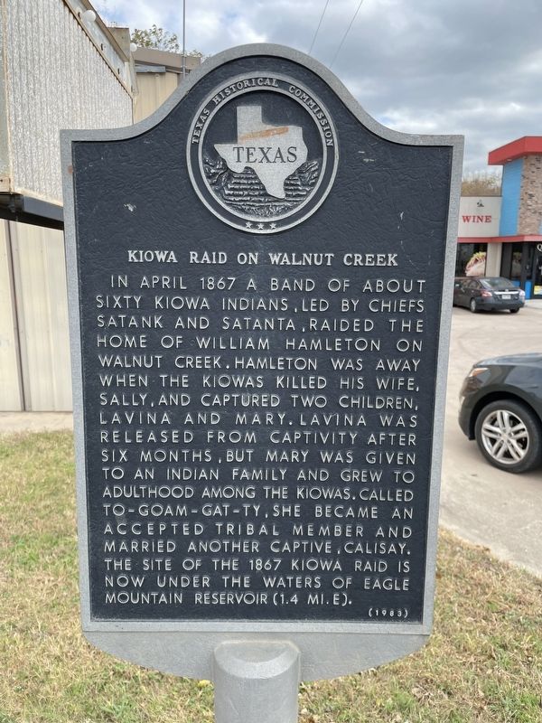
Photographed by Brian Anderson, November 24, 2021
1. Kiowa Raid on Walnut Creek Marker
Erected 1983 by Texas Historical Commission. (Marker Number 2959.)
Topics. This historical marker is listed in this topic list: Indigenous Peoples and Communities. A significant historical month for this entry is April 1867.
Location. 32° 55.655′ N, 97° 32.598′ W. Marker is in Azle, Texas, in Tarrant County. It is on Boyd Road (Farm to Market Road 730), on the right when traveling north. Touch for map. Marker is at or near this postal address: 1704 Boyd Road, Azle TX 76020, United States of America. Touch for directions.

Regionally, this marker is in the Prairies & Lakes
this page online
Other nearby markers. At least 8 other markers are within 3 miles of this marker, measured as the crow flies: Nelson Cemetery (approx. 1.6 miles away); Azle Schools (approx. 2.2 miles away); First Methodist Church of Azle (approx. 2.4 miles away); Azle Christian Church (approx. 2½ miles away); James Azle Steward (approx. 2½ miles away); Azle Post Office (approx. 2½ miles away); Walnut Creek Baptist Church (approx. 2.6 miles away); William M. Rice (approx. 2.7 miles away). Touch for a list and map of all markers in Azle.
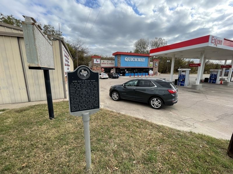
Photographed by Brian Anderson, November 24, 2021
2. Kiowa Raid on Walnut Creek Marker
Credits. This page was last revised on February 24, 2024. It was originally submitted on December 1, 2021, by Brian Anderson of New Albany, Ohio. This page has been viewed 2,512 times since then and 208 times this year. Last updated on February 24, 2024, by Carl Gordon Moore Jr. of North East, Maryland. Photos: 1, 2. submitted on December 1, 2021, by Brian Anderson of New Albany, Ohio. • James Hulse was the editor who published this page.
