Shandaken in Ulster County, New York — The American Northeast (Mid-Atlantic)
Catskill Water Supply System
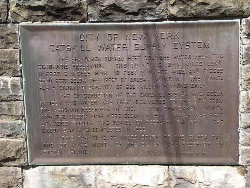
City of New York
Photographed by Steve Stoessel, April 13, 2019
1. Catskill Water Supply System Marker
The construction of the Catskill Water System was begun in 1907 and water from the Ashokan Reservoir in 1915. The Shandaken Tunnel and Gilboa Dam were begun in 1917. Water was first delivered through this tunnel in February 9th, 1924. The Gilboa Dam was completed in 1926.
This tablet is 22 miles south of the Gilboa Dam and 137 miles north of the Silver Lake Reservoir on Staten Island.
Erected 1927.
Topics. This historical marker is listed in this topic list: Man-Made Features. A significant historical date for this entry is February 9, 1924.
Location. 42° 6.892′ N, 74° 21.812′ W. Marker is in Shandaken, New York, in Ulster County. It is on New York State Route 28, on the right when traveling west. Touch for map. Marker is in this post office area: Shandaken NY 12480, United States of America. Touch for directions.

Regionally, this marker is in Upstate New York and in the
this page online
Other nearby markers. At least 8 other markers are within 5 miles of this marker, measured as the crow flies: The Shandaken Tunnel and the N.Y.C. Water Supply System (approx. 1½ miles away); Town of Shandaken Historic Sites (approx. 1½ miles away); The History of Shandaken, Bushnellsville & Allaben (approx. 1½ miles away); Chichester (approx. 2.9 miles away); Mount Tremper Fire Tower (approx. 3.3 miles away); Shandaken Eagle (approx. 3.3 miles away); Phoenicia Station Centennial (approx. 3.7 miles away); State Land (approx. 4.1 miles away). Touch for a list and map of all markers in Shandaken.
Photographed by Steve Stoessel, April 13, 2019
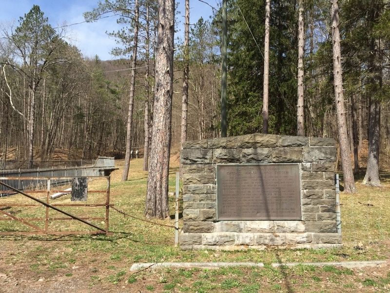
2. Catskill Water Supply System Marker
Photographed by Steve Stoessel, April 13, 2019
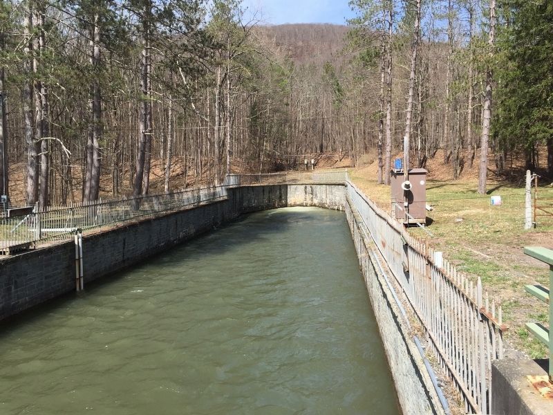
3. Tunnel
Photographed by Steve Stoessel, April 13, 2019
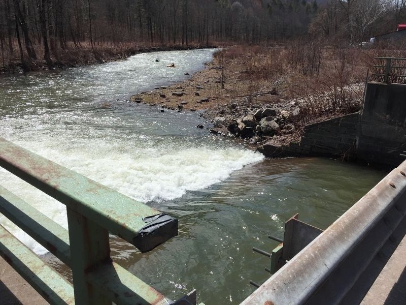
4. Entering Esopus Creek
Credits. This page was last revised on February 29, 2024. It was originally submitted on April 14, 2019, by Steve Stoessel of Niskayuna, New York. This page has been viewed 554 times since then and 43 times this year. Last updated on February 24, 2024, by Carl Gordon Moore Jr. of North East, Maryland. Photos: 1, 2, 3, 4. submitted on April 14, 2019, by Steve Stoessel of Niskayuna, New York. • J. Makali Bruton was the editor who published this page.
