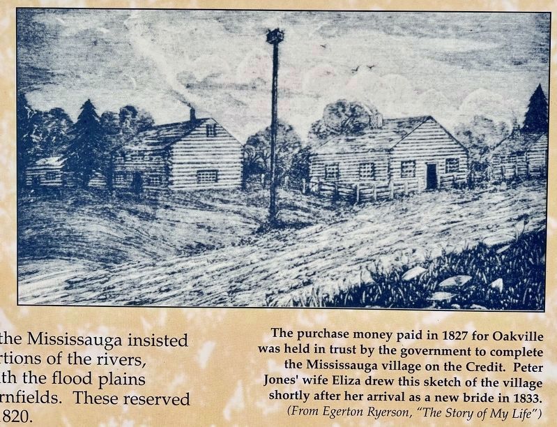
Oakville in Halton Region, Ontario — Central Canada (North America)
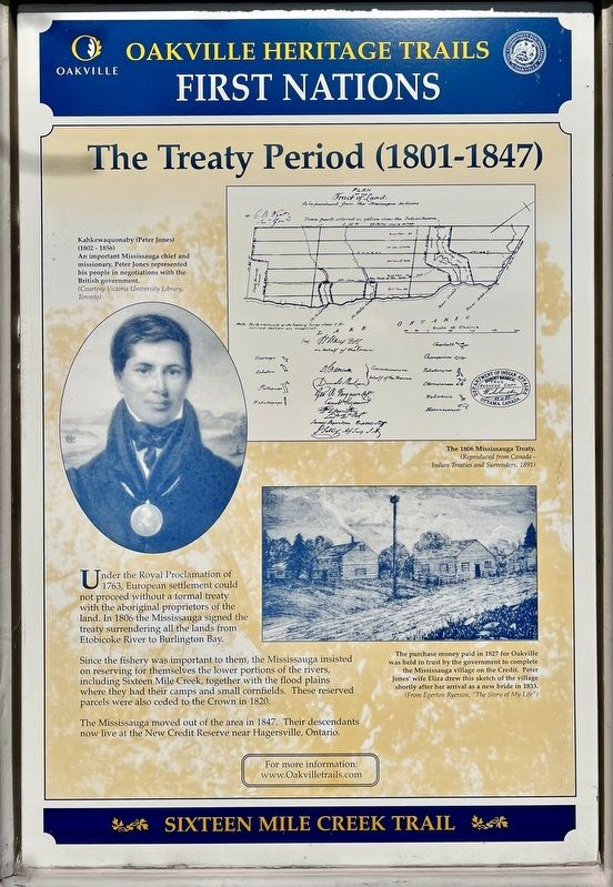
The Treaty Period (1801-1847)
First Nations
— Sixteen Mile Creek Trail —
Erected by Town of Oakville.
Topics. This historical marker is listed in these topic lists: Colonial Era • Native Americans • Settlements & Settlers. A significant historical year for this entry is 1806.
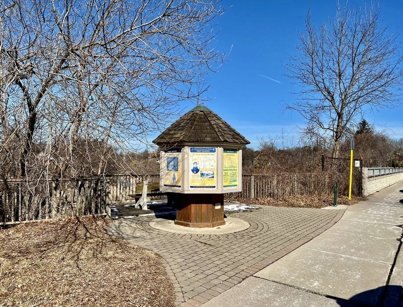
Location. 43° 26.758′ N, 79° 40.245′ W. Marker is in Oakville, Ontario, in Halton Region. Marker is at the intersection of Randall Street and Thomas Street, on the right when traveling west on Randall Street. Touch for map. Marker is at or near this postal address: 165 Randall St, Oakville ON L6J 1P5, Canada. Touch for directions.
Other nearby markers. At least 8 other markers are within walking distance of this marker. The First Horticultural People (AD 500 to 1610) (here, next to this marker); Early Contact Period (1610-1700) (here, next to this marker); Hunter-Gatherer and Fisher People (9,000 BC to AD 500) (here, next to this marker); Oakville’s Meeting Hall (about 180 meters away, measured in a direct line); Leading Citizens (about 210 meters away); Then and Now (about 210 meters away); Business on the “Main Street” (about 210 meters away); Lakeshore Road Taverns (about 210 meters away). Touch for a list and map of all markers in Oakville.
Also see . . .
1. Indigenous Foundations - Royal Proclamation, 1763.
In the Royal Proclamation, ownership over North America is issued to King George. However, the Royal Proclamation explicitly states that Aboriginal title has existed and continues to exist, and that all land would be considered Aboriginal land until ceded by treaty.(Submitted on February 24, 2024, by Tim Boyd of Hamilton, Ontario.)
2. Anishinaabes News - Head of the Lake Purchase.
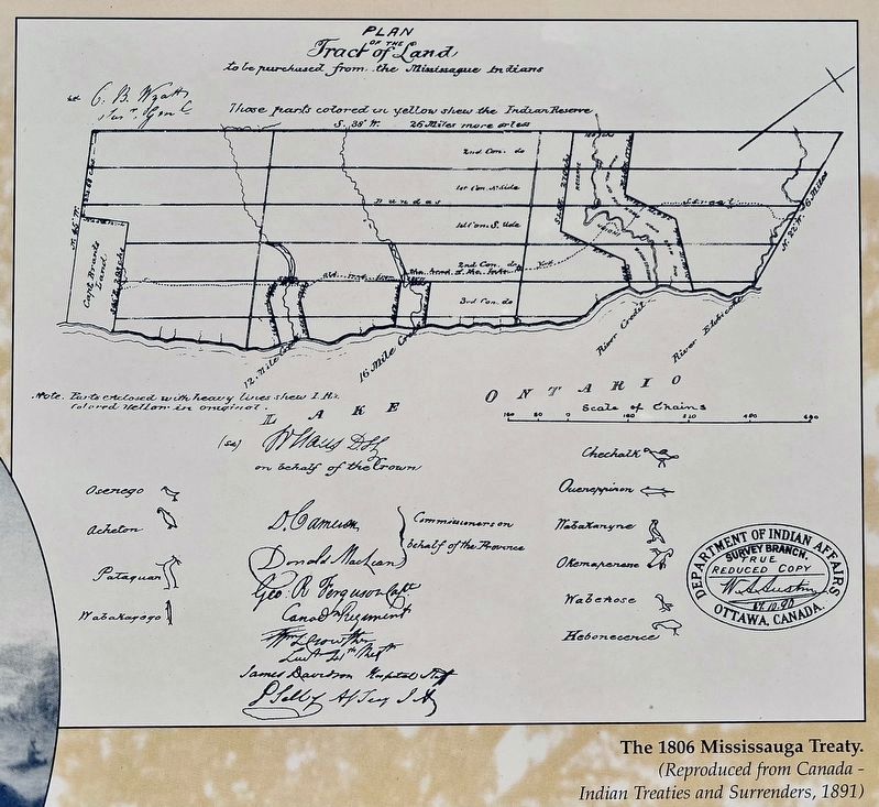
The Head of the Lakes Treaty, along with the Toronto Purchase of the previous year, finally gave the Crown control over the entire waterfront along Lake Ontario, although the final settlement of the land’s status had to wait until the Williams Treaties of 1923.(Submitted on February 24, 2024, by Tim Boyd of Hamilton, Ontario.)
Credits. This page was last revised on February 25, 2024. It was originally submitted on February 24, 2024, by Tim Boyd of Hamilton, Ontario. This page has been viewed 46 times since then. Photos: 1, 2, 3, 4, 5. submitted on February 24, 2024, by Tim Boyd of Hamilton, Ontario. • Andrew Ruppenstein was the editor who published this page.
