Greenwood Township near Millerstown in Perry County, Pennsylvania — The American Northeast (Mid-Atlantic)
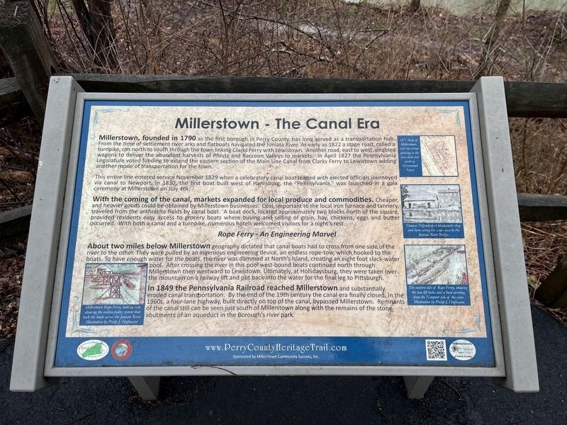
Millerstown - The Canal Era
Perry County Bicentennial
— 1820-2020 —
Millerstown, founded in 1790 as the first borough in Perry County, has long served as a transportation hub. From the time of settlement river arks and flatboats navigated the Juniata River. As early as 1822 a stage road, called a turnpike, ran north to south through the town linking Clarks Ferry with Lewistown. Another road, east to west, enabled wagons to deliver the abundant harvests of Pfoutz and Raccoon Valleys to markets. In April 1827 the Pennsylvania Legislature voted funding to extend the eastern section of the Main Line Canal from Clarks Ferry to Lewistown adding another mode of transportation for the town.
This entire line entered service November 1829 when a celebratory canal boat loaded with elected officials journeyed via canal to Newport. In 1830, the first boat built west of Harrisburg, the "Pennsylvania," was launched in a gala ceremony at Millerstown on July 4th.
With the coming of the canal, markets expanded for local produce and commodities. Cheaper, and heavier goods could be obtained by Millerstown businesses. Coal, important to the local iron furnace and tannery, traveled from the anthracite fields by canal boat. A boat dock, located approximately two blocks north of the square, provided residents easy access to grocery boats where buying and selling of grain, hay, chickens, eggs and butter occurred. With both a canal and a turnpike, numerous hotels welcomed visitors for a night's rest.
About two miles below Millerstown geographically dictated that canal boats had to cross from one side of the river to the other. They were pulled by an ingenious engineer device, an endless rope-tow, which hooked to the boats. To have enough water for the boats, the river was dammed at North's Island, creating an eight foot slack-water pool. After crossing the river in this pool west-bound boats continued north through Millerstown then westward to Lewistown. Ultimately, at Hollidaysburg, they were taken over the mountain on a railway lift and put back into the water for the final leg to Pittsburgh.
In 1849 the Pennsylvania Railroad reached Millerstown and substantially eroded canal transportation. by the end of the 19th century the canal era finally closed. In the 1960s, a four-lane highway, built directly on top of the canal, bypassed Millerstown. Remnants of the canal still can be seen just south of Millerstown along with the remains of the stone abutments of an aqueduct in the Borough's river park.
Erected by Borough of Millerstown; Historical Society of Perry County.
Topics and series. This historical marker is
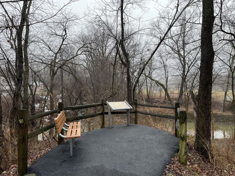
Location. 40° 32.238′ N, 77° 8.785′ W. Marker is near Millerstown, Pennsylvania, in Perry County. It is in Greenwood Township. Marker can be reached from West Juniata Parkway (County Road 1015) north of Perry Valley Road, on the right when traveling south. The marker stands on the grounds of Millerstown Area Community Park. Touch for map. Marker is in this post office area: Millerstown PA 17062, United States of America. Touch for directions.
Other nearby markers. At least 8 other markers are within walking distance of this marker. Millerstown Transportation (within shouting distance of this marker); World War I Memorial (approx. 0.2 miles away); The Railroad Across the River (approx. 0.2 miles away); The Canal that Went Over a Mountain (approx. 0.3 miles away); Millerstown Dairies (approx. 0.3 miles away); Millerstown Recreation (approx. 0.3 miles away); Welcome to Millerstown (approx. half a mile away); World War Memorial (approx. 0.9 miles away). Touch for a list and map of all markers in Millerstown.
Credits. This page was last revised on February 25, 2024. It was originally submitted on February 25, 2024, by Devry Becker Jones of Washington, District of Columbia. This page has been viewed 73 times since then. Photos: 1, 2. submitted on February 25, 2024, by Devry Becker Jones of Washington, District of Columbia.

