Sewanee in Franklin County, Tennessee — The American South (East South Central)
Army of Tennessee
July 4, 1863
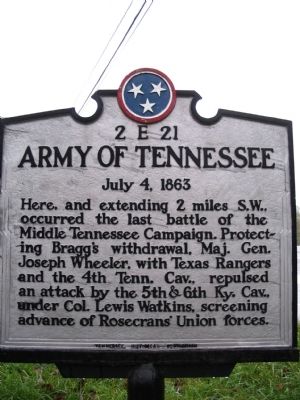
Photographed by Tom Gillard, October 17, 2009
1. Army of Tennessee Marker
Erected by Tennessee Historical Commission. (Marker Number 2E 21.)
Topics and series. This historical marker is listed in this topic list: War, US Civil. In addition, it is included in the Tennessee Historical Commission series list.
Location. 35° 11.39′ N, 85° 55.4′ W. Marker is in Sewanee, Tennessee, in Franklin County. It is on Tennessee Route 64, on the right when traveling east. Touch for map. Marker is in this post office area: Sewanee TN 37375, United States of America. Touch for directions.

Regionally, this marker is in Middle Tennessee and in the Highland Rim. It is also in the American South and specifically in the Upper South. Globally, it is in North America, the Western Hemisphere, the Western World, and the Anglosphere. Historically,
this page online
Other nearby markers. At least 8 other markers are within 2 miles of this marker, measured as the crow flies: Head of the Crow State Park (approx. half a mile away); Mountain Goat Trail (approx. half a mile away); Sewanee Village Trailhead (approx. half a mile away); Desegregation of Franklin County Public Schools (approx. 0.6 miles away); Saints Rest (approx. 0.8 miles away); Rebel's Rest (approx. 1.1 miles away); Edmund Kirby Smith (approx. 1.3 miles away); University of the South (approx. 1.3 miles away). Touch for a list and map of all markers in Sewanee.
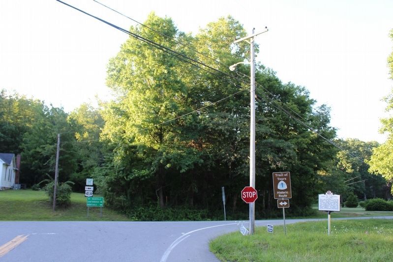
Photographed by Tom Bosse, July 26, 2020
2. Army of Tennessee Marker
Credits. This page was last revised on August 19, 2020. It was originally submitted on November 7, 2009, by Tom Gillard of Tullahoma, Tennessee. This page has been viewed 2,205 times since then and 62 times this year. Photos: 1. submitted on November 7, 2009, by Tom Gillard of Tullahoma, Tennessee. 2. submitted on August 18, 2020, by Tom Bosse of Jefferson City, Tennessee. • Craig Swain was the editor who published this page.
