Williamsport in Washington County, Maryland — The American Northeast (Mid-Atlantic)
C&O Canal
Williamsport: A Classic Canal Town
Inscription.
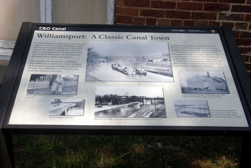
In 1790 Williamsport nearly became the National Capitol as President George Washington visited the town in his search for the site of the future Federal City. But this was not to be. Decades later as construction of the Chesapeake & Onio Canal reached Williamsport in 1834, the town developed into a “classic canal town.”
Many families who worked the canal boats made Williamsport their winter home. Located at the junction of Conococheague Creek and the Potomac River, Williamsport served as a cross roads for commerce and trade.
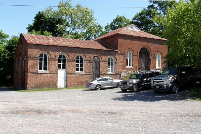
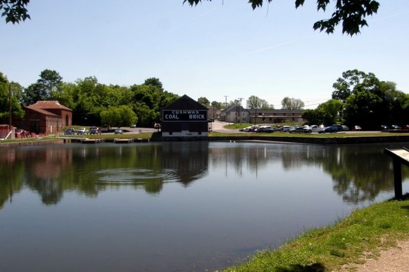
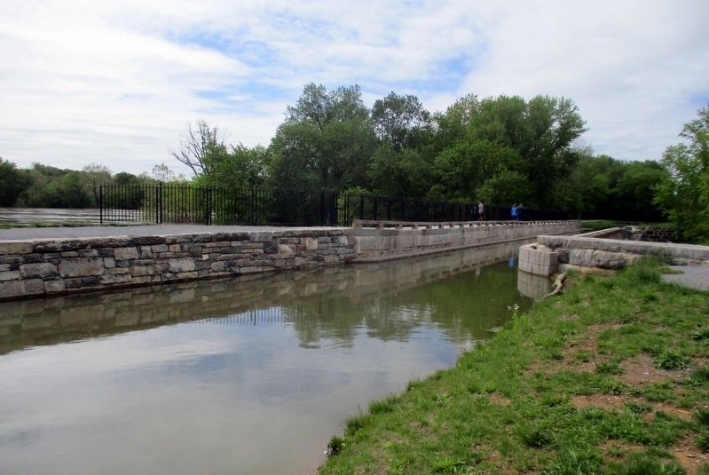
Today the town maintains a historic feel from the canal era with many original structures still standing in the Cushwa Basin. Future park plans include the restoration of the Railroad Lift Bridge, Lock and Lockhouse 44, Conococheague Aqueduct and rehabilitation of the Cushwa Warehouse and Trolley Barn. A return visit to Williamsport in the future will allow visitors to experience this section of the C&O Canal as it appeared in the past
Topics. This historical marker is listed in these topic lists: Industry & Commerce • Parks & Recreational Areas • Waterways & Vessels. A significant historical year for this entry is 1790.
Location. 39° 36.056′ N, 77° 49.558′ W. Marker is in Williamsport, Maryland, in Washington County. Marker can be reached from NPS Williamsport C&O Canal. Touch for map. Marker is at or near this postal address: 205 W Potomac St Williamsport, MD 21795, Williamsport MD 21795, United States of America. Touch for directions.
Other nearby markers. At least 8 other markers are within walking distance of this marker. Life on the Canal (here, next to this marker); a different marker also named C&O Canal (here, next to this marker); Welcome to Williamsport (within shouting distance of this marker); The C&O Canal in Williamsport (within shouting distance of this marker); a different marker also named Life on the Canal (about 400 feet away, measured in a direct line); Gettysburg Campaign (about 500 feet away); Cushwa Basin/Williamsport (about 500 feet away); Williamsport (about 500 feet away). Touch for a list and map of all markers in Williamsport.
Also see . . . Williamsport, Maryland. Wikipedia entry (Submitted on February 27, 2024, by Larry Gertner of New York, New York.)
Credits. This page was last revised on February 27, 2024. It was originally submitted on February 27, 2024, by Larry Gertner of New York, New York. This page has been viewed 86 times since then. Photos: 1, 2, 3, 4. submitted on February 27, 2024, by Larry Gertner of New York, New York.


