Near Lancaster in Los Angeles County, California — The American West (Pacific Coastal)
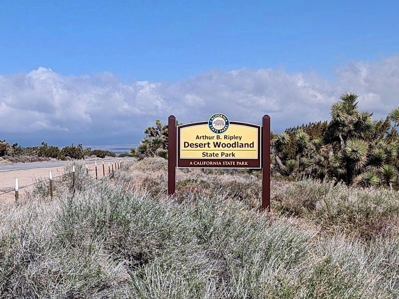
Arthur B. Ripley Desert Woodland State Park
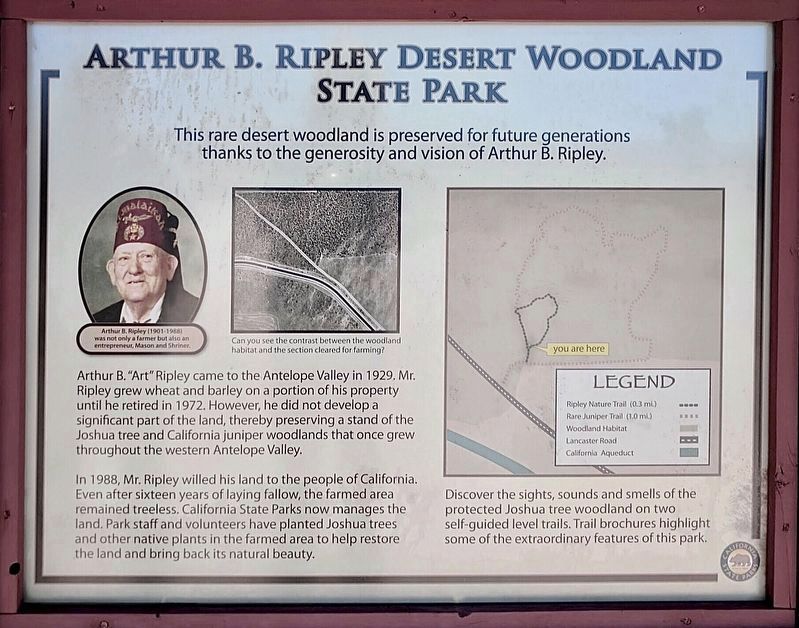
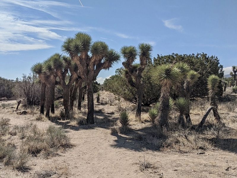
Arthur B. "Art" Ripley came to the Antelope Valley in 1929. Mr. Ripley grew wheat and barley on a portion of his property until he retired in 1972. However, he did not develop a significant part of the land, thereby preserving a stand of the Joshua tree and California juniper woodlands that once grew throughout the western Antelope Valley.
In 1988, Mr. Ripley willed his land to the people of California. Even after sixteen years of laying fallow, the farmed area remained treeless. California State Parks now manages the land. Park staff and volunteers have planted Joshua trees and other native plants in the farmed area to help restore the land and bring back its natural beauty.
Erected by California State Parks.
Topics. This historical marker is listed in these topic lists: Agriculture • Parks & Recreational Areas • Settlements & Settlers. A significant historical year for this entry is 1929.
Location. 34° 45.263′ N, 118° 29.556′ W. Marker is near Lancaster, California, in Los Angeles County. Marker can be reached from Lancaster Road, 0.7 miles east of 210th Street West, on the left when traveling east. Touch for map. Marker is in this post office area: Lancaster CA 93536, United States of America. Touch for directions.
Other nearby markers. At least 6 other markers are within 16 miles of this marker, measured as the crow flies. California Poppy Reserve (approx. 5.8 miles away); Butterfield Overland Mail (approx. 8.9 miles away); Power Plant No. 1 (approx. 11.8 miles away); Willow Springs (approx. 14 miles away); a different marker also named Willow Springs (approx. 14.1 miles away); Ridge Route Directory (approx. 15.2 miles away).
Credits. This page was last revised on February 29, 2024. It was originally submitted on February 29, 2024, by Craig Baker of Sylmar, California. This page has been viewed 59 times since then. Photos: 1, 2, 3, 4. submitted on February 29, 2024, by Craig Baker of Sylmar, California.


