Vernon in Jennings County, Indiana — The American Midwest (Great Lakes)
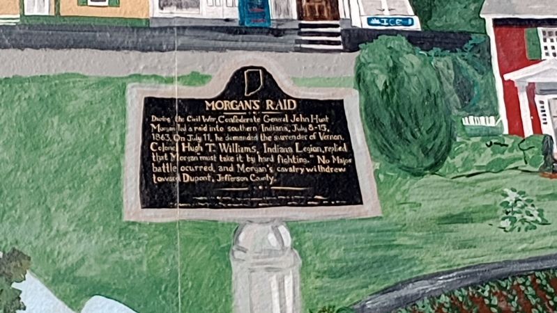
Morgan's Raid
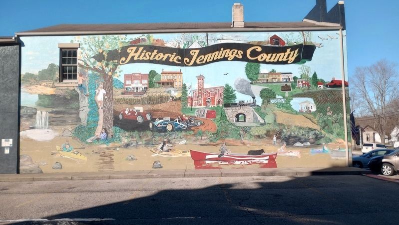
| — | Historic Jennings County | — |
Photographed by Craig Doda, February 18, 2024
1. Morgan's Raid Marker
Topics. This historical marker is listed in this topic list: War, US Civil. A significant historical date for this entry is July 11, 1863.
Location. 38° 59.101′ N, 85° 36.568′ W. Marker is in Vernon, Indiana, in Jennings County. It is on North Pike Street north of Jackson Street, on the left when traveling north. Touch for map. Marker is at or near this postal address: 25 N Pike St, Vernon IN 47282, United States of America. Touch for directions.

Regionally, this marker is in Southern Indiana. It is also in the American Midwest and in the Corn Belt. Globally, it is in North America, the Western Hemisphere, the Western World, and the Anglosphere. Historically, it finds itself in what was once the territory of the Mississippian Culture and also the Northwest Territory.
Other nearby markers. At
this page online
Another marker is no longer nearby. Muscatatuck Park (was approx. half a mile away but has been confirmed missing).
More about this marker. This is a portion of a painted mural and shows the actual Indiana Historical Bureau Marker Number 40.1997.1 with the same title and text that is locate about 220 feet southwest of the mural. [See related marker]
Related marker. Click here for another marker that is related to this marker. Real marker that is depicted in this mural.
Photographed by Craig Doda, February 18, 2024
2. Historic Jennings County Mural
Credits. This page was last revised on October 6, 2026. It was originally submitted on February 29, 2024, by Craig Doda of Napoleon, Ohio. This page has been viewed 500 times since then and 72 times this year. Photos: 1, 2. submitted on February 29, 2024, by Craig Doda of Napoleon, Ohio. • Bernard Fisher was the editor who published this page.
