Carroll Township in Shermans Dale in Perry County, Pennsylvania — The American Northeast (Mid-Atlantic)
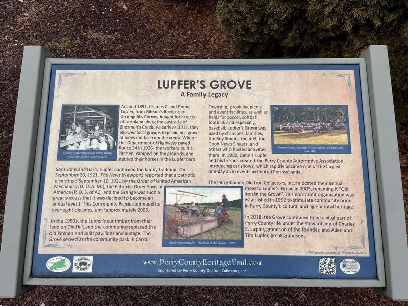
Lupfer's Grove
A Family Legacy
— Perry County Bicentennial 1820-2020 —
Around 1891, Charles C. and Emma Lupfer, from Gibson's Rock near Dromgold's Corner, bought four tracts of farmland along the east side of Sherman's Creek. As early as 1912, they allowed local groups to picnic in a grove of trees not far from the creek. When the Department of Highways paved Route 34 in 1926, the workers built a kitchen, camped on the grounds, and stabled their horses in the Lupfer barn.
Sons John and Harry Lupfer continued the family tradition. On September 30, 1921, The News (Newport) reported that a patriotic picnic held September 10, 1921 by the Order of United American Mechanics (O. U. A. M.), the Patriotic Order of Sons of America (P. O. S. of A.), and the Grange was such a great success that it was decided to become an annual event. This Community Picnic continued for over eight decades, until approximately 2005.
In the 1950s, the Lupfer's cut timber from their land on Dix Hill, and the community replaced the old kitchen and built pavilions and a stage. The Grove served as a community park in Carroll Township, providing picnic and event facilities, as well as fields for soccer, softball, football, and especially, baseball. Lupfer's Grove was used by churches, families, the Boy Scouts, the 4-H, the Good News Singers, and others who hosted activities there. In 1980, Dennis Lupfer and his friends created the Perry County Automotive Association, introducing car shoes, which rapidly became one of the largest one-day auto events in Central Pennsylvania.
The Perry County Old Iron Collectors, Inc., relocated their annual show to Lupfer's Grove in 2005, renaming it "Old Iron in the Grove". This non-profit organization was established in 1992 to stimulate community pride in Perry County's cultural and agricultural heritage.
In 2018, the Grove continued to be a vital part of Perry County life under the stewardship of Charles E. Lupfer, grandson of the founder, and Allen and Tim Lupfer, great grandsons.
Erected 2020 by Perry County Old Iron Collectors, Inc.; Historical Society of Perry County.
Topics and series. This historical marker is listed in these topic lists: Fraternal or Sororal Organizations • Notable Events • Notable Places • Parks & Recreational Areas. In addition, it is included in the Perry County Heritage Trail in Pennsylvania. series list. A significant historical date for this entry is September 30, 1921.
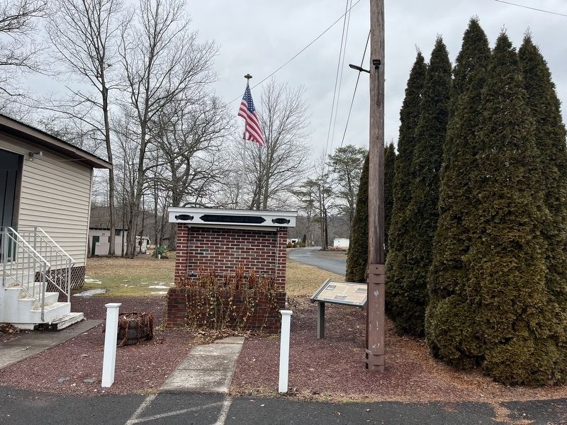
Location. 40° 20.298′ N, 77° 11.132′ W. Marker is in Shermans Dale, Pennsylvania, in Perry County. It is in Carroll Township. Marker is on Shady Lane, 0.1 miles south of Camp Ground Road, on the right when traveling south
Other nearby markers. At least 8 other markers are within 6 miles of this marker, measured as the crow flies. Veterans Memorial (here, next to this marker); William Bigler (approx. 0.7 miles away); Dromgold Farm (approx. 0.7 miles away); John Bannister Gibson (approx. 1.7 miles away); a different marker also named John Bannister Gibson (approx. 1.7 miles away); The Route of United States Army Despatch Riders / Confederate Soldiers Farthest Advance (approx. 4.1 miles away); The Farthest North (approx. 4.4 miles away); The Old County Jail (approx. 5.6 miles away). Touch for a list and map of all markers in Shermans Dale.
Credits. This page was last revised on March 1, 2024. It was originally submitted on March 1, 2024, by Devry Becker Jones of Washington, District of Columbia. This page has been viewed 78 times since then. Photos: 1, 2. submitted on March 1, 2024, by Devry Becker Jones of Washington, District of Columbia.

