Valley City in Barnes County, North Dakota — The American Midwest (Upper Plains)
Footbridge to Fun
City Park Foot Bridge
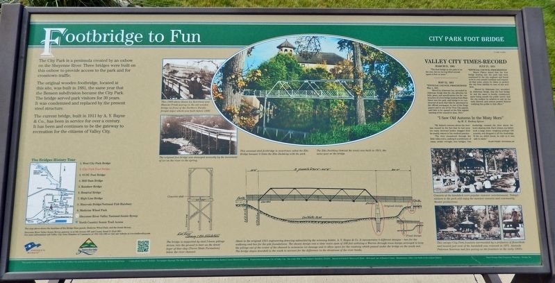
The City Park is a peninsula created by an oxbow on the Sheyenne River. Three bridges were built on this oxbow to provide access to the park and for crosstown traffic.
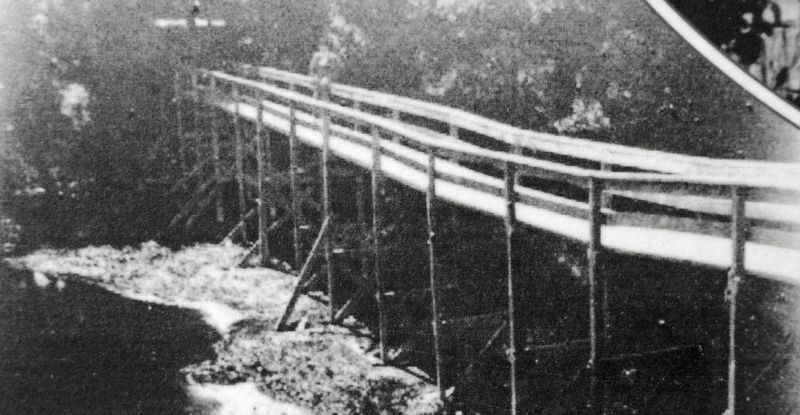
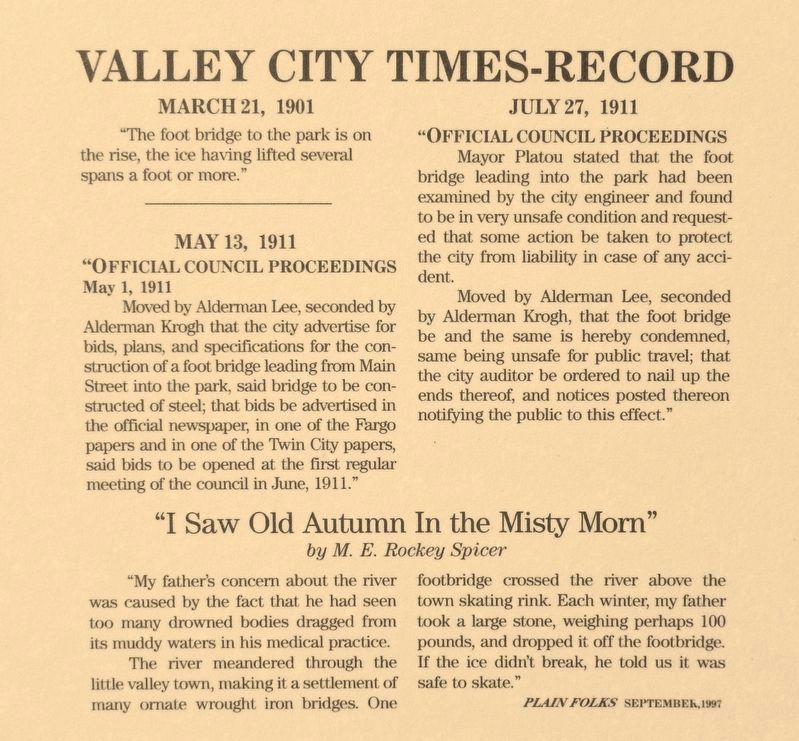
The original wooden footbridge, located at this site, was built in 1881, the same year that the Benson subdivision became the City Park. The bridge served park visitors for 30 years. It was condemned and replaced by the present steel structure.
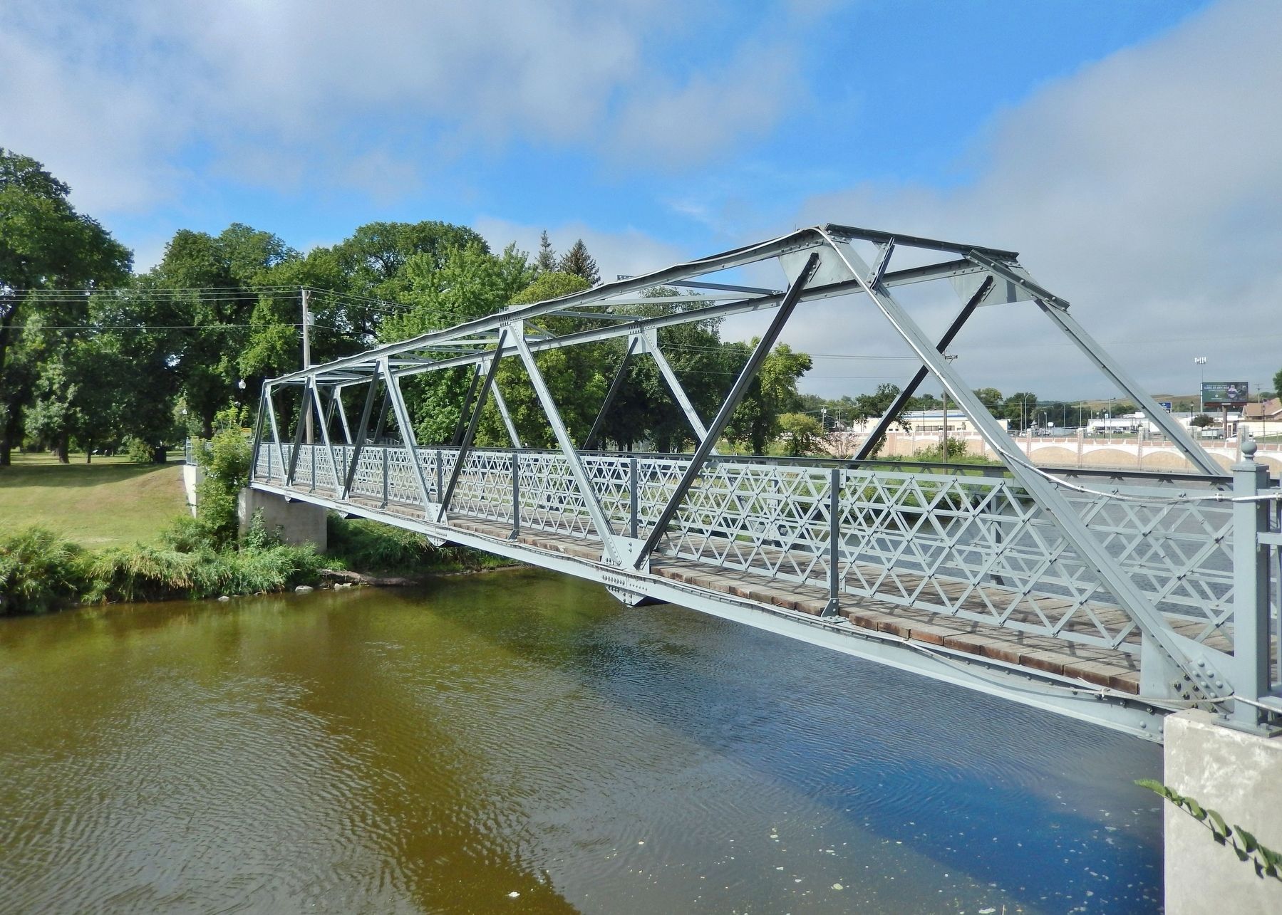
The current bridge, built in 1911 by A. Y. Bayne & Co., has been in service for over a century. It has been and continues to be the gateway to recreation for the citizens of Valley City.
[photo & illustration captions]
• This unusual steel footbridge is sometimes called the Elks Bridge because it links the Elks Building with the park. The Elks Building (behind the trees) was built in 1911, the same year as the bridge.
• This 1909 photo shows Lu Saterland and Blanche Fridd posing on the old wooden bridge in front of the Northern Pacific freight depot which was built before 1900.
• The bridge is supported by steel I-beam pilings driven into the ground to bear on the dense layer of blue clay (Pierre Shale Formation) below the river channel.
• Above is the original 1911 engineering drawing submitted by the winning bidder, A. Y. Bayne & Co. It incorporates 4 different designs — two for the walkway and two for the pile foundations. The chosen design was a clear main span of 100 feet utilizing a Warren Through Truss design arranged to keep the pilings out of the center of the channel to minimize ice damage and to allow space for the roadway which passed under the bridge on the south end. The bridge slopes downhill to the south to account for the difference in the elevations of the river banks.
Erected by The City of Valley City and Valley City Bridges Task Force.
Topics. This historical marker is listed in these topic lists: Architecture • Bridges & Viaducts • Parks & Recreational Areas • Waterways & Vessels. A significant historical year for this entry is 1911.
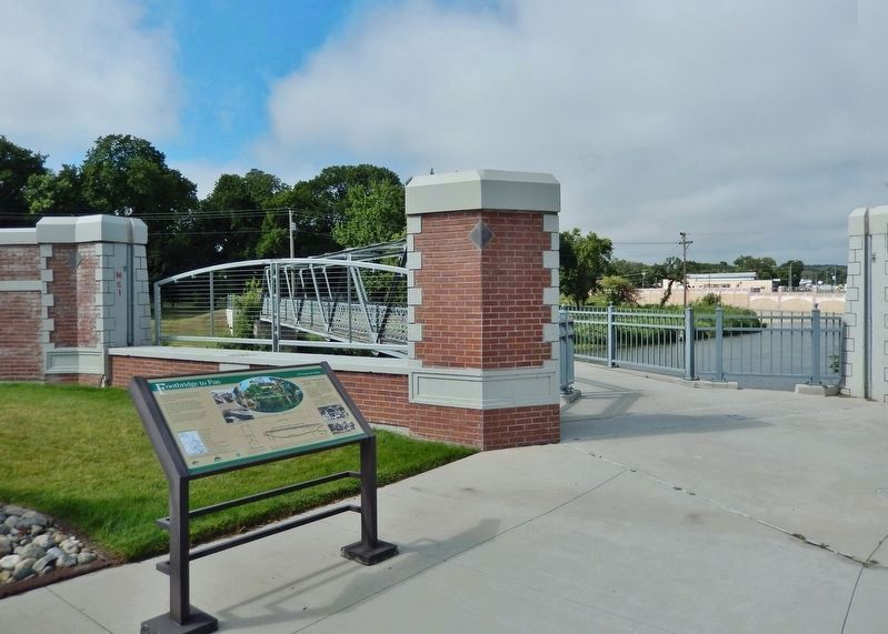
Location. 46° 55.392′ N, 98° 0.294′ W. Marker is in Valley City, North Dakota, in Barnes County. Marker is on West Main Street (Business U.S. 10/52) 0.1 miles west of Central Avenue South, on the left when traveling west. The marker is located along the sidewalk, overlooking the Sheyenne River and the City Park Foot Bridge. Touch for map. Marker is in this post office area: Valley City ND 58072, United States of America. Touch for directions.
Other nearby markers. At least 8 other markers are within walking distance of this marker. Caboose (within shouting distance of this marker); Rosebud Visitor Center Along the Byway (about 300 feet away, measured in a direct line); Valley City Street & Interurban Railroad
(about 300 feet away); Wood Beam (about 300 feet away); Rail Lines (about 300 feet away); 66 Lb. Rail (about 300 feet away); 90 Lb. Rail (about 300 feet away); 136 Lb. Rail (about 300 feet away). Touch for a list and map of all markers in Valley City.
Related markers. Click here for a list of markers that are related to this marker. Valley City Historic Bridges Tour
Credits. This page was last revised on March 6, 2024. It was originally submitted on March 3, 2024, by Cosmos Mariner of Cape Canaveral, Florida. This page has been viewed 40 times since then. Photos: 1, 2, 3, 4, 5, 6, 7. submitted on March 6, 2024, by Cosmos Mariner of Cape Canaveral, Florida.
