
Weiden in der Oberpfalz, Bavaria, Germany — Central Europe
Herzog Theodor Eustach von Pfalz Sulzbach
1659-1732
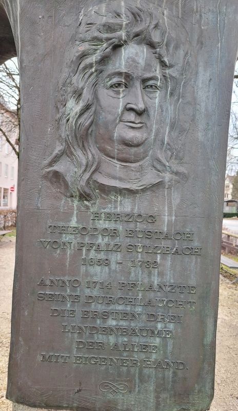
Photographed by James Hulse, February 17, 2024
1. Herzog Theodor Eustach von Pfalz Sulzbach Marker

seine durchlaucht
die ersten drei
lindenbaume
der allee
mit eigener hand.
Serene Highness
planted the
first three
linden trees
on the avenue
with his own hands.
Topics. This historical marker is listed in these topic lists: Horticulture & Forestry • Parks & Recreational Areas. A significant historical year for this entry is 1714.
Location. 49° 40.603′ N, 12° 9.72′ E. Marker is in Weiden in der Oberpfalz, Bayern (Bavaria). It is on Bürgermeister-Prechtl-Straße just east of Kettelerstraße, on the right when traveling east. The marker is located along the walkway of the street. Touch for map. Marker is at or near this postal address: Bürgermeister-Prechtl-Straße 13, Weiden in der Oberpfalz BY 92637, Germany. Touch for directions.

Regionally, it is in Europe, the European Union, Atlantic Europe, Central Europe, the Schengen Area, Western Europe, and the Western World. Historically, it finds itself in what was once the Holy Roman Empire.
Other nearby markers. At least 8 other markers are within walking distance of this marker: St. Josef (a few steps from this marker); König Maximilian I. Joseph (a few steps from this marker); Weiden Jewish Memorial (within shouting distance of this marker); Evangelisch - Lutherische Stadtpfarrkirche St. Michael (about 150 meters away, measured in a direct line); Zwei Türen / Two Doors (about 180 meters away); Altes Rathaus / Old Town Hall (about 180 meters away); Ehemaliger Kurpfälzer-Hof / Former Electoral Palatinate Court (about 210 meters away); Issy-Les-Moulineaux-Platz (about 240 meters away). Touch for a list and map of all markers in Weiden in der Oberpfalz.
this page online
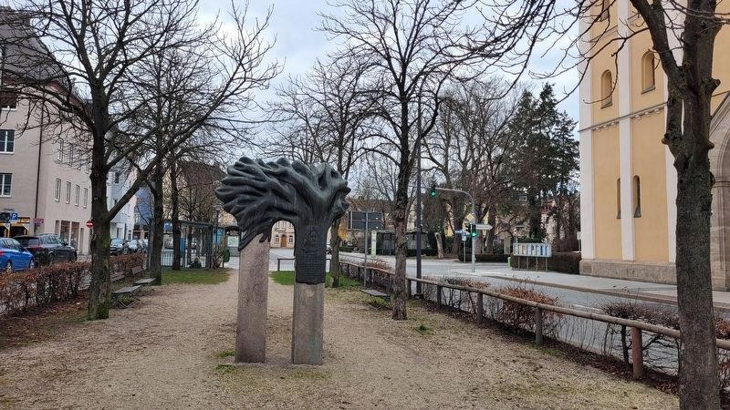
Photographed by James Hulse, February 17, 2024
2. The view of the Herzog Theodor Eustach von Pfalz Sulzbach Marker along the greenspace
Credits. This page was last revised on March 6, 2024. It was originally submitted on March 5, 2024, by James Hulse of Medina, Texas. This page has been viewed 127 times since then and 10 times this year. Photos: 1, 2. submitted on March 6, 2024, by James Hulse of Medina, Texas.
