Elmira in Chemung County, New York — The American Northeast (Mid-Atlantic)
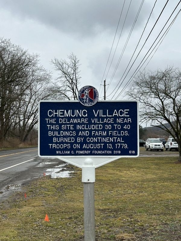
Chemung Village
Erected 2019 by William G. Pomeroy Foundation, Empire State Society, Sons of the American Revolution. (Marker Number 618.)
Topics and series. This historical marker is listed in these topic lists: Colonial Era • Native Americans • War, US Revolutionary. In addition, it is included in the Sons of the American Revolution (SAR), and the William G. Pomeroy Foundation series lists. A significant historical date for this entry is August 13, 1779.
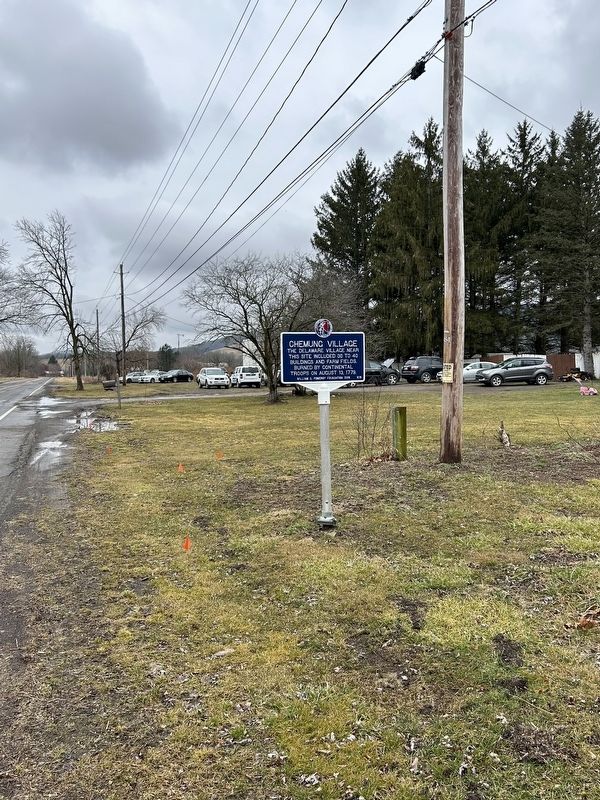
Location. 42° 1.683′ N, 76° 39.79′ W. Marker is in Elmira, New York, in Chemung County. Marker is on County Road 60, on the right when traveling west. Chemung County 60 is also called Oneida Road. Touch for map. Marker is at or near this postal address: 1284 County Rd 60, Elmira NY 14901, United States of America. Touch for directions.
Other nearby markers. At least 8 other markers are within 2 miles of this marker, measured as the crow flies. Chemung (here, next to this marker); Soldiers of the American Revolution (approx. 0.7 miles away); Riverside Cemetery (approx. 0.7 miles away); a different marker also named Soldiers of the American Revolution (approx. 0.7 miles away); Battle of Chemung (approx. 1.3 miles away); Rowland Montour (approx. 1.3 miles away); Thick Swamp (approx. 2 miles away); Sullivan Road (approx. 2.1 miles away).
Also see . . . Chemung Village (William G. Pomeroy Foundation).
Excerpt: In 1779, Major General John Sullivan was tasked by General George Washington to rendezvous with General James Clinton and unleash a campaign of destruction against Native American tribes of New York State who were allied with the British. During this expedition General Sullivan traversed the wilderness of Pennsylvania and New York following along the Susquehanna River. In his wake he left a path of destruction, decimating each Indian community that he encountered.(Submitted on March 10, 2024.)
On August 13, 1779, the Native American community of Chemung was destroyed by General Sullivan and his forces. Sullivan described the event in a letter, dated August 15, 1779, to the President of Congress:
Finding it impossible, to bring them to an engagement I directed their Town to be burnt, which is consisted of between 30 & 40 Houses some of them large and neatly finish’d; particularly a Chapel and Council House.
Credits. This page was last revised on March 10, 2024. It was originally submitted on March 5, 2024, by Susan A. Dalaba of Cortland, New York. This page has been viewed 45 times since then. Photos: 1, 2. submitted on March 5, 2024, by Susan A. Dalaba of Cortland, New York. • Andrew Ruppenstein was the editor who published this page.

