Dundurn A in Hamilton, Ontario — Central Canada (North America)
The Cultural History Of Carroll's Bay
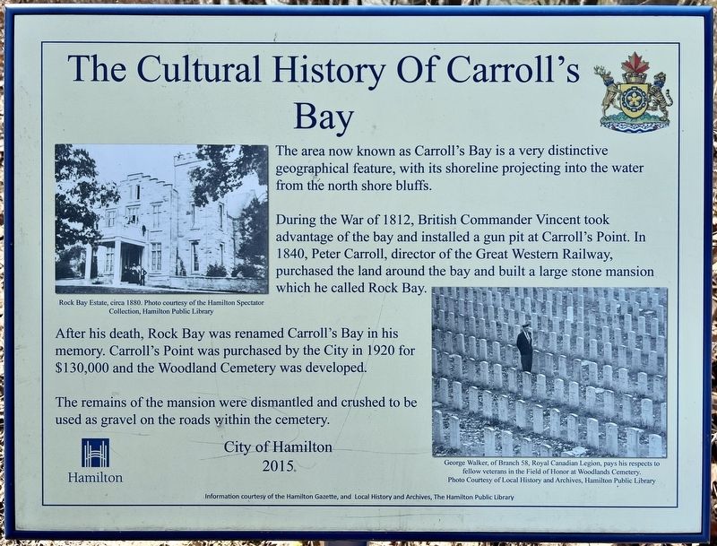
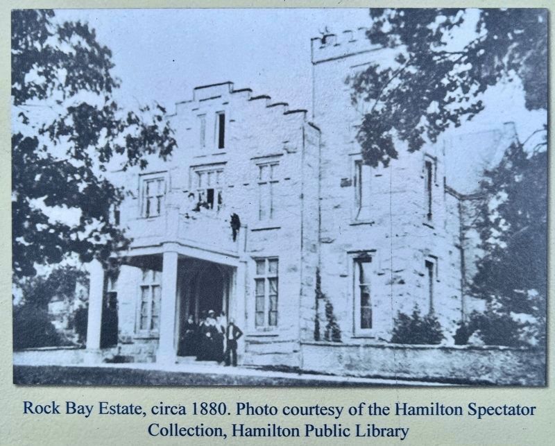
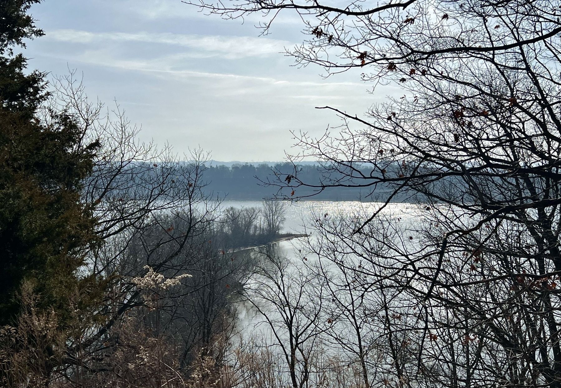
During the War of 1812, British Commander Vincent took advantage of the bay and installed a gun pit at Carroll's Point. In 1840, Peter Carroll, director of the Great Western Railway, purchased the land around the bay and built a large stone mansion which he called Rock Bay.
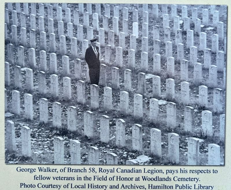
After his death, Rock Bay was renamed Carroll's Bay in his memory. Carroll's Point was purchased by the City in 1920 for $130,000 and the Woodland Cemetery was developed.
The remains of the mansion were dismantled and crushed to be used as gravel on the roads within the cemetery.
Erected 2015 by City of Hamilton.
Topics. This historical marker is listed in these topic lists: Cemeteries & Burial Sites • Natural Features • War of 1812. A significant historical year for this entry is 1840.
Location. 43° 17.012′ N, 79° 52.862′ W. Marker is in Hamilton, Ontario. It is in Dundurn A. Marker can be reached from Spring Gardens Road. The marker is in Woodland Cemetery, about 600 metres from the entrance at Spring Gardens Road. The address of the cemetery is Burlington, but the property is part of the City of Hamilton. Touch for map. Marker is at or near this postal address: 700 Spring Gardens Road, Hamilton ON L7T L7T, Canada. Touch for directions.
Other nearby markers. At least 8 other markers are within walking distance of this marker. Royal Botanical Gardens/ Les Jardins Botaniques Royaux (approx. 0.9 kilometers away); The Boathouse Community (approx. 0.9 kilometers away); Desjardins Canal Disaster (approx. 0.9 kilometers away); Treaty Council at Burlington Heights/ Conseil du Traité a Burlington Heights (approx. one kilometer away); Sentinel of the Around the Bay Race (approx. 1.2 kilometers away); "The Burlington Races" 1813 (approx. 1.2 kilometers away); Burlington Heights 1813 - 1814 (approx. 1.4 kilometers away); First Line of Defense (approx. 1.4 kilometers away). Touch for a list and map of all markers in Hamilton.
Credits. This page was last revised on March 5, 2024. It was originally submitted on March 5, 2024, by Tim Boyd of Hamilton, Ontario. This page has been viewed 53 times since then. Photos: 1, 2, 3, 4, 5. submitted on March 5, 2024, by Tim Boyd of Hamilton, Ontario. • Andrew Ruppenstein was the editor who published this page.
