Stuyvesant Falls in Columbia County, New York — The American Northeast (Mid-Atlantic)
Stuyvesant Falls Overlook Park
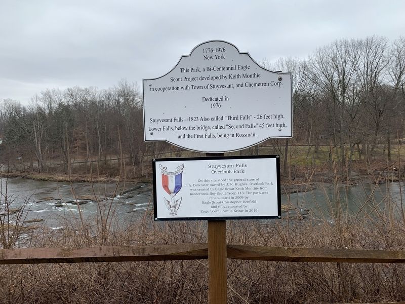
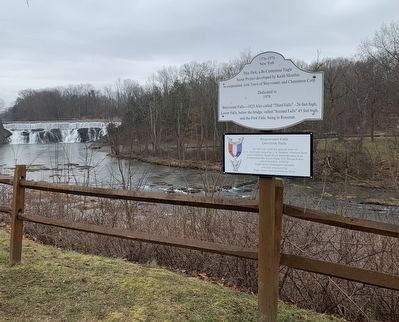
This Park, a Bi-Centennial Eagle Scout Project developed by Keith Monthie in cooperation with Town of Stuyvesant, and Chemetron Corp.
Dedicated in 1976
Stuyvesant Falls---1823 Also called "Third Falls" - 26 feet high, Lower Falls, below the bridge, called "Second Falls" 45 feet high, and the First Falls, being in Rossman.
Stuyvesant Falls Overlook Park
On this site stood the general store of J.A. Dick later owned by J. R. Hughes. Overlook Park was created by Eagle Scout Keith Monthie from Kinderbook Boy Scout Troop 113. The park was rehabilitated in 2009 by Eagle Scout Christopher Benfield and fully renovated by Eagle Scout Joshua Krizar in 2019.
Erected by Eagle Scouts.
Topics. This historical marker is listed in these topic lists: Industry & Commerce • Natural Features • Parks & Recreational Areas. A significant historical year for this entry is 1976.
Location. 42° 21.477′ N, 73° 44.012′ W. Marker is in Stuyvesant Falls, New York, in Columbia County. Marker is at the intersection of New Street (County Route 25A) and Woods Lane, on the right when traveling north on New Street. Touch for map. Marker is in this post office area: Kinderhook NY 12106, United States of America. Touch for directions.
Other nearby markers. At least 8 other markers are within 2 miles of this marker, measured as the crow flies. The Empire State Trail (a few steps from this marker); Kinderhook Creek (within shouting distance of this marker); Stuyvesant Falls (about 700 feet away, measured in a direct line); Passenger and Freight Depots (approx. 0.2 miles away); Stockport-Stuyvesant Line (approx. 0.4 miles away); Farmhands and Fishing (approx. 1.7 miles away); An Agrarian Lifestyle… (approx. 1.7 miles away); Farm Operations (approx. 1.7 miles away). Touch for a list and map of all markers in Stuyvesant Falls.
More about this marker. This is a pair of related plaques relating the history of the park and describing the overlook.
Credits. This page was last revised on March 7, 2024. It was originally submitted on March 5, 2024, by Steve Stoessel of Niskayuna, New York. This page has been viewed 30 times since then. Photos: 1, 2. submitted on March 5, 2024, by Steve Stoessel of Niskayuna, New York. • Andrew Ruppenstein was the editor who published this page.

