
West Ashley in Charleston in Charleston County, South Carolina — The American South (South Atlantic)
St. Andrew’s Parish Church
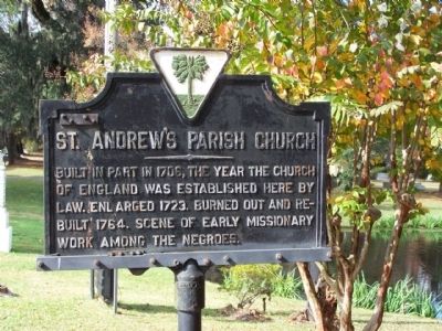
Photographed by Mike Stroud, 2008
1. St. Andrew's Parish Church Marker
Erected 1929 by South Carolina Historical Commission. (Marker Number 10-0.)
Topics and series. This historical marker is listed in these topic lists: African Americans • Colonial Era • Religion & Religious Structures. In addition, it is included in the South Carolina Historical Markers series list. A significant historical year for this entry is 1706.
Location. This marker has been replaced by another marker nearby. It was located near 32° 50.276′ N, 80° 2.984′ W. Marker was in Charleston, South Carolina, in Charleston County. It was in West Ashley. It was on Ashley River Road (SC Highway 61) near Plainview Rd, on the right when traveling north. Touch for map. Marker was at or near this postal address: 2604 Ashley River Road, Charleston SC 29414, United States of America. Touch for directions.

Regionally, this marker was in the Lowcountry. It was also in the American South and specifically in the Deep South. Globally, it was
this page online
Other nearby markers. At least 8 other markers are within 4 miles of this location, measured as the crow flies: A different marker also named St. Andrew’s Parish Church (within shouting distance of this marker); Skirmish at St. Andrew’s Parish Church (within shouting distance of this marker); Ashley River Region (approx. 1.7 miles away); The Founding Of Ashley Hall / From The Revolution To Civil War (approx. 2 miles away); A Sacred Place (approx. 2.6 miles away); Drayton Hall / Drayton Family (approx. 2.7 miles away); South Carolina Canal & Rail Road Company (approx. 3 miles away); Jenkins Orphanage (approx. 3.2 miles away). Touch for a list and map of all markers in Charleston.
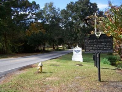
Photographed by Mike Stroud, November 15, 2008
2. St. Andrew's Parish Church Marker as seen traveling north on SC 61
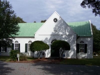
Photographed by Mike Stroud, November 15, 2008
3. St. Andrew's Parish Church as seen today
Nestled close to the Ashley River and containing ten acres of land, Old Saint Andrew's property is comprised of a cemetery, an education building, and the main church building dating back to 1706, the oldest surviving church in South Carolina. The parish church of the Bull and Drayton families, its rural location has kept the church in remarkably authentic condition.
This active Episcopal church, featured in the mini series "North and South,"
Listed in the National Register of Historic Places.
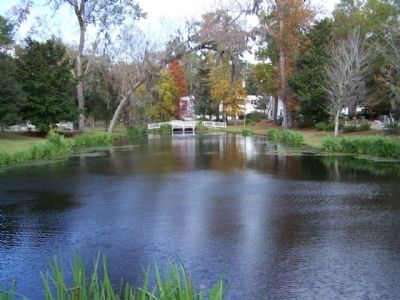
Photographed by Mike Stroud, 2008
4. St. Andrew's Parish Church , a pond nearby the church cemetery along SC 61
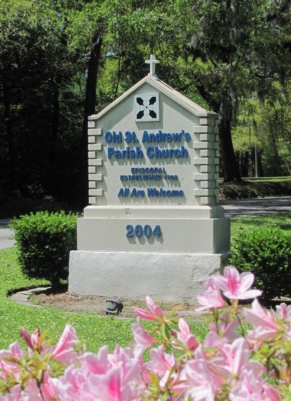
Photographed by D G Gilreath, 2016
5. St. Andrew’s Parish Church Marker
Azaleas in bloom near church sign. Church is located on Hwy. 61, near historic Drayton Hall Plantation.
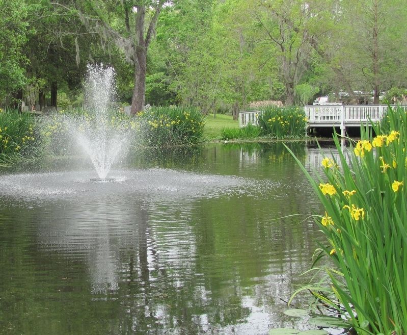
Photographed by D G Gilreath, 2016
6. St. Andrew’s Parish Church Marker
Pond with fountain in churchyard of Old St. Andrews Parish Church. Bridge connects the 1706 church and buildings with the "newer" part of the cemetery.
Credits. This page was last revised on January 20, 2026. It was originally submitted on November 17, 2008, by Mike Stroud of Bluffton, South Carolina. This page has been viewed 2,536 times since then and 45 times this year. Last updated on March 6, 2024, by Brandon D Cross of Flagler Beach, Florida. Photos: 1, 2, 3, 4. submitted on November 17, 2008, by Mike Stroud of Bluffton, South Carolina. 5, 6. submitted on July 2, 2017, by D G Gilreath of Charleston, South Carolina. • Devry Becker Jones was the editor who published this page.
