Prince in Fayette County, West Virginia — The American South (Appalachia)
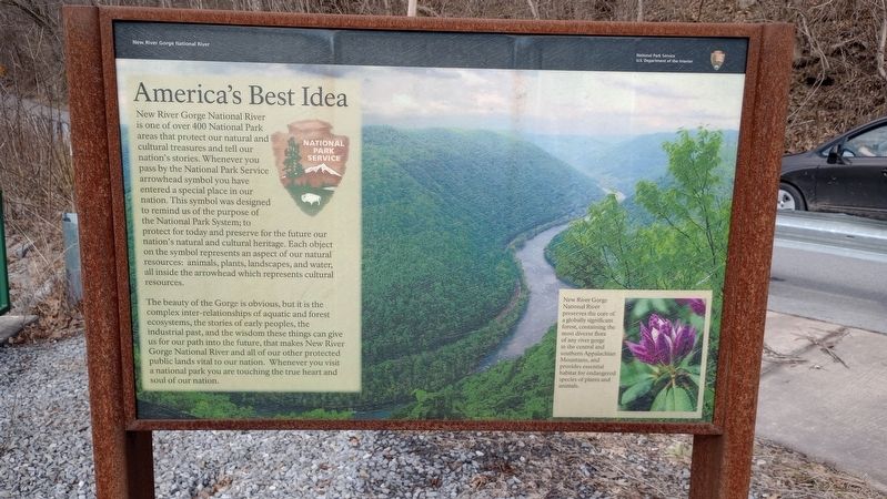
America's Best Idea
New River Gorge National River
— National Park Service, U.S. Department of the Interior —
New River Gorge National River is one of over 400 National Park areas that protect our natural and cultural treasures and tell our nation's stories. Whenever you pass by the National Park Service arrowhead symbol you have entered a special place in our nation. This symbol was designed to remind us of the purpose of the National Park System; to protect for today and preserve for the future our nation's natural and cultural heritage. Each object on the symbol represents an aspect of our natural resources: animals, plants, landscapes, and water, all inside the arrowhead which represents cultural resources.
The beauty of the Gorge is obvious, but it is the complex inter-relationships of aquatic and forest ecosystems, the stories of early peoples, the industrial past, and the wisdom these things can give us for our path into the future, that makes New River Gorge National River and all of our other protected public lands vital to our nation. Whenever you visit a national park you are touching the true heart and soul of our nation.
[Caption:]
New River Gorge National River preserves the core of a globally significant forest, containing the most diverse flora of any river gorge in the central and southern Appalachian Mountains, and provides essential habitat for endangered species of plants and animals.
Erected by National Park Service, U.S. Department of the Interior.
Topics. This historical marker is listed in these topic lists: Parks & Recreational Areas • Waterways & Vessels.
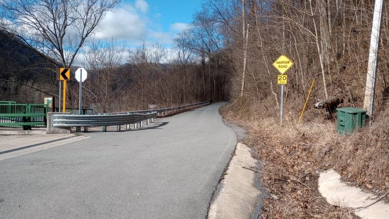
Location. 37° 51.293′ N, 81° 4.266′ W. Marker is in Prince, West Virginia, in Fayette County. Marker is at the intersection of Stanaford Road (West Virginia Route 41) and Prince Army Camp Road (County Road 41/39), on the left when traveling north on Stanaford Road. Touch for map. Marker is at or near this postal address: 4484 Stanaford Rd, Layland WV 25864, United States of America. Touch for directions.
Other nearby markers. At least 8 other markers are within 6 miles of this marker, measured as the crow flies. Fayette County / Raleigh County (within shouting distance of this marker); Camp Prince Army Station (approx. 1.2 miles away); Beury Monument (approx. 1.3 miles away); Quinnimont Missionary Baptist Church (approx. 1.4 miles away); Army Camp (approx. 1˝ miles away); Army Camp's Special Species (approx. 1˝ miles away); DuBois High School (approx. 5˝ miles away); Dubois High School (approx. 5.6 miles away). Touch for a list and map of all markers in Prince.
Credits. This page was last revised on March 15, 2024. It was originally submitted on March 7, 2024, by Craig Doda of Napoleon, Ohio. This page has been viewed 28 times since then. Photos: 1, 2. submitted on March 7, 2024, by Craig Doda of Napoleon, Ohio. • Devry Becker Jones was the editor who published this page.

