Valley City in Barnes County, North Dakota — The American Midwest (Upper Plains)
Rosebud Visitor Center Along the Byway
The Visitor Center
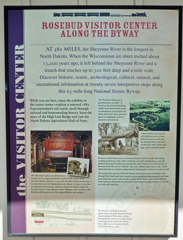
At 581 miles, the Sheyenne River is the longest in North Dakota. When the Wisconsinan ice sheet melted about 13,000 years ago, it left behind the Sheyenne River and a trench that reaches up to 300 feet deep and a mile wide. Discover historic, scenic, archeological, cultural, natural, and recreational information at twenty-seven interpretive stops along this 63-mile-long National Scenic Byway.
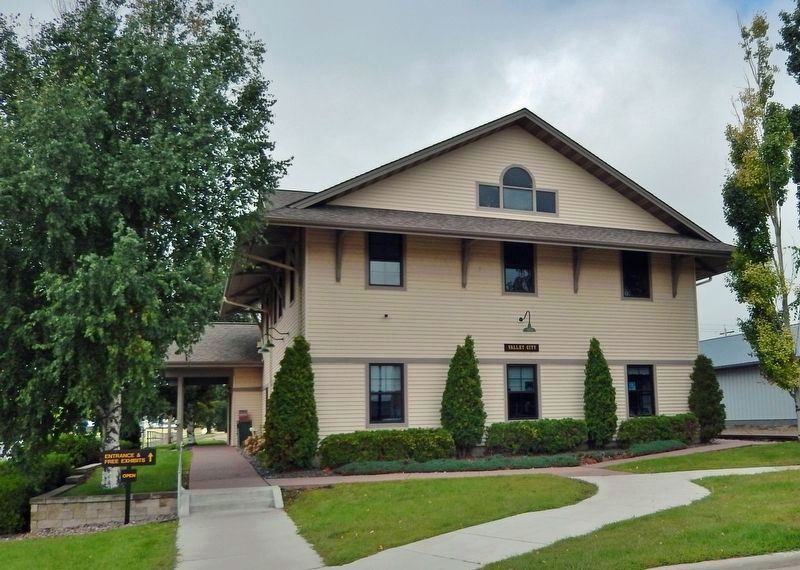
While you are here, enjoy the exhibits in the visitor center — explore a restored 1881 Superintendent's rail coach, stroll through railroad and homesteading history, learn the story of the High Line Bridge and visit the North Dakota Agricultural Hall of Fame.
The “Rosebud” railcar was fitted from a transfer car to a Superintendent's coach for S.R. Ainslie of the Northern Pacific railroad. In 1931, the Rosebud retired and became a vacation home on the Dakota prairie for almost 70 years. It was then purchased by this museum, restored, and put on display inside the Rosebud Visitor Center. Because of the diligence of its caretakers, the Rosebud still boasts most of its original fixtures and artifacts.
The Sheyenne Valley was a practical place to settle — it had trees for fuel and building, shelter from harsh north winds, an abundance of seasonal wild fruits, fish in the river, and wild game to supplement a diet of domestic animal foods.
A farm family was basically self-sufficient with a wheat field for bread, an oat crop for livestock feed, cows and chickens for milk, butter, and eggs, and a vegetable garden.
Pioneers worked long hours at strenuous physical labor to make their living. Lacking machinery, early settlers broke the sod with walking plows, and also planted, harvested, bundled and shocked by hand. Houses were built of logs, or burrowed into the sod of a hillside. They were seldom larger than 12 by 16 feet. Approximately 200 women independently homesteaded in Barnes County as well.
The people who came to call North Dakota home faced many challenges, and through their hard work and creativity made significant improvements, and some astounding discoveries. The members of the North Dakota Agricultural Hall of Fame represent thousands of early and modern pioneers who continue to advance our state with each day.
The land on which these exhibits appear was part of the Northern Pacific charter railroad. This section of line through Valley City was the first charter railroad property sold in the United States after it was abandoned by the Northern Pacific in 1982.
Topics. This historical marker is listed in these topic lists: Agriculture • Railroads & Streetcars • Settlements & Settlers • Waterways & Vessels.
Location.
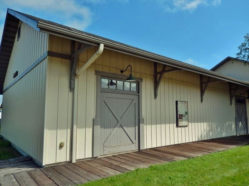
46° 55.419′ N, 98° 0.345′ W. Marker is in Valley City, North Dakota, in Barnes County. Marker can be reached from West Main Street (Business U.S. 10/52) 0.1 miles west of Central Avenue North (County Highway 21), on the right when traveling west. The marker is mounted at eye-level on the south side of the Rosebud Visitor Center building. Touch for map. Marker is at or near this postal address: 250 West Main Street, Valley City ND 58072, United States of America. Touch for directions.
Other nearby markers. At least 8 other markers are within walking distance of this marker. Valley City Street & Interurban Railroad (a few steps from this marker); Wood Beam (a few steps from this marker); Rail Lines (within shouting distance of this marker); 66 Lb. Rail (within shouting distance of this marker); 90 Lb. Rail (within shouting distance of this marker); 136 Lb. Rail (within shouting distance of this marker); Sun Kink Rail (within shouting distance of this marker); Building the Railroad (within shouting distance of this marker). Touch for a list and map of all markers in Valley City.
Related markers. Click here for a list of markers that are related to this marker. Rosebud Visitor Center Railroad History Exhibit
Credits. This page was last revised on March 11, 2024. It was originally submitted on March 7, 2024, by Cosmos Mariner of Cape Canaveral, Florida. This page has been viewed 66 times since then. Photos: 1, 2, 3. submitted on March 10, 2024, by Cosmos Mariner of Cape Canaveral, Florida.


