Oacoma in Lyman County, South Dakota — The American Midwest (Upper Plains)
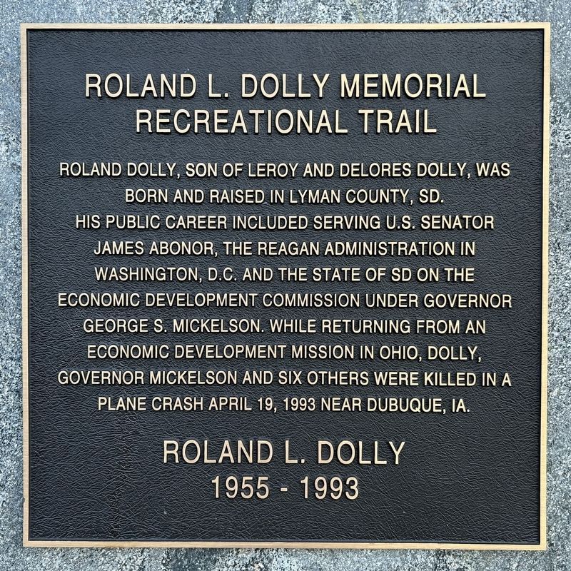
Roland L. Dolly Memorial Recreational Trail
March 3, 2024
1. Roland L. Dolly Memorial Recreational Trail Marker
Roland L. Dolly
1955 - 1993
Topics. This historical marker is listed in these topic lists: Disasters • Parks & Recreational Areas. A significant historical date for this entry is April 19, 1993.
Location. 43° 49.239′ N, 99° 20.95′ W. Marker is in Oacoma, South Dakota, in Lyman County. It is on Shoreline Drive 0.6 miles north of East Highway 16 (Interstate 90BL), on the right when traveling north. Touch for map. Marker is in this post office area: Oacoma SD 57365, United States of America. Touch for directions.

Regionally, this marker is in East River. It is also in the American Lewis & Clark Corridor, on the prairies, and on the Northern Plains. Globally, it is in North
this page online
Other nearby markers. At least 8 other markers are within 3 miles of this marker, measured as the crow flies: This was until 1953 American Island (approx. 0.6 miles away); Barger Park (approx. 1.1 miles away); Chamberlain (approx. 1.1 miles away); St. Joseph's Memorial (approx. 1.3 miles away); Divine Infant Home (approx. 1.3 miles away); The Plant Life (approx. 1.9 miles away); The Missouri River (approx. 1.9 miles away); Lewis and Clark Bicentennial 1804-2004 (approx. 2.4 miles away).
Also see . . . S.D. marks plane crash that claimed governor, 7 others - USA TODAY. (Submitted on March 8, 2024.)
March 3, 2024
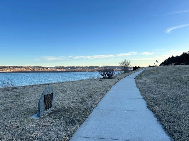
2. Roland L. Dolly Memorial Recreational Trail Marker, from the north
March 3, 2024
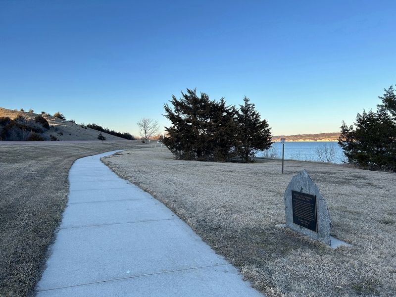
3. Roland L. Dolly Memorial Recreational Trail Marker, from the south
Credits. This page was last revised on March 8, 2024. It was originally submitted on March 8, 2024. This page has been viewed 389 times since then and 54 times this year. Photos: 1, 2, 3. submitted on March 8, 2024.
