Near Marietta in Cobb County, Georgia — The American South (South Atlantic)
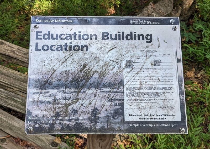
Education Building Location
| — | Kennesaw Mountain National Battlefield Park | — |
September 26, 2023
1. Education Building Location Marker
(captions)
Aerial Photo of Civilian Conservation Camp at Kennesaw Mountain National Battlefield Park
Example of a camp's education report
Erected by National Park Service, U.S. Department of the Interior.
Topics. This historical marker is listed in these topic lists: Charity & Public Work • Parks & Recreational Areas. A significant historical date for this entry is June 11, 1940.
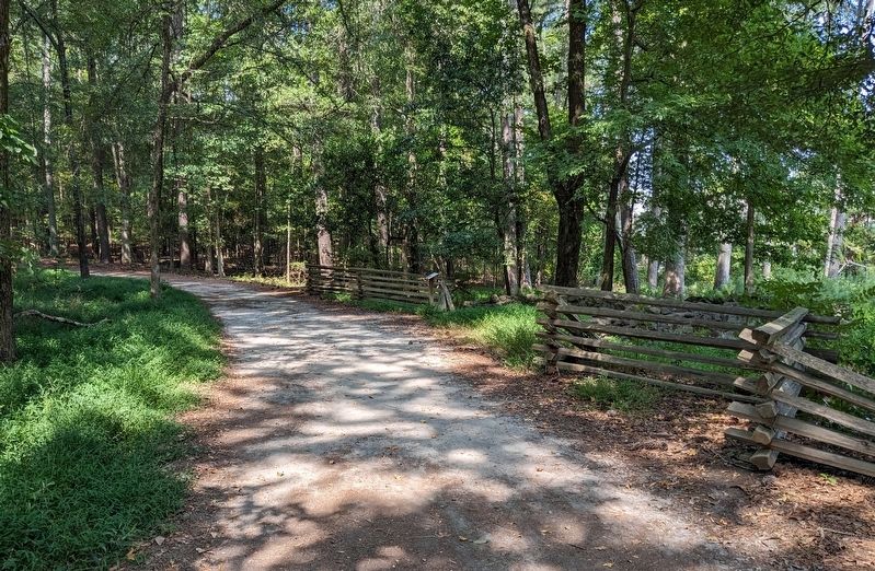
Location. 33° 58.57′ N, 84° 34.194′ W. Marker is near Marietta, Georgia, in Cobb County. It can be reached from Lookingglass Lane. The marker is on the Camp Brumby Loop Trail in Kennesaw Mountain National Battlefield Park. Touch for map. Marker is at or near this postal address: 817 Lookingglass Ln, Marietta GA 30064, United States of America. Touch for directions.

Regionally, this marker is in the Piedmont and in Metro Atlanta. It is also in the American South and specifically in the Deep South. Globally, it is in North America, the Western Hemisphere, the Western World, and the Anglosphere. Historically, it finds itself in what was once the original Cherokee Nation, the territory of the Mississippian Culture, one of the original
this page online
Other nearby markers. At least 8 other markers are within walking distance of this marker: Tool House Location (within shouting distance of this marker); Barracks Location (within shouting distance of this marker); Civilian Conservation Corps Camp (about 300 feet away, measured in a direct line); Welcome to Camp Brumby (about 300 feet away); Oil House Location (about 300 feet away); Forge Location (about 300 feet away); Digging in for Defense (approx. 0.3 miles away); Johnston's Line East of Kennesaw (approx. 0.4 miles away). Touch for a list and map of all markers in Marietta.
Also see . . . Kennesaw Mountain National Battlefield Park. National Park Service (Submitted on March 17, 2024.)
September 26, 2023
2. Education Building Location Marker
Credits. This page was last revised on March 17, 2024. It was originally submitted on March 8, 2024. This page has been viewed 185 times since then and 20 times this year. Photos: 1, 2. submitted on March 8, 2024. • Bernard Fisher was the editor who published this page.
