Near Marietta in Cobb County, Georgia — The American South (South Atlantic)
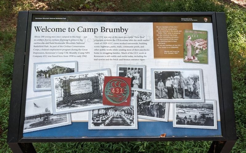
Welcome to Camp Brumby
Kennesaw Mountain National Battlefield Park
| — | National Park Service, U.S. Department of the Interior | — |
September 26, 2023
1. Welcome to Camp Brumby Marker
About 200 young men once camped in this field — not as soldiers, but as civilians working to preserve the earthworks and build Kennesaw Mountain National Battlefield Park. As part of the Civilian Conservation Corps, a federal employment program during the Great Depression, Kennesaw's Camp T.M. Brumby (Camp NP4 Company 431) was based here from 1938 to early 1942.
The CCC was one of the most successful "New Deal" programs to revive the US economy after the stock market crash of 1929. CCC crews worked nationwide, building scenic highways, parks, trails, community pools, and other public works while sending most of their paychecks home to struggling families. Much of the CCC work at Kennesaw is still visible and useful today, including the trail system and the brick-and-bronze entrance signs.
(inset)
We are members of the CCC /
We stand for conservation.
We are working in the woods and fields /
Their value to preserve.
We also construct the forest parks /
providing recreation…
We stop erosion of the land /
by planting trees to beat the band…
For we are members of the CCC /
Our motto is to CONSERVE
Words and music by R.A. Conard, 1937
Erected by National
this page online
Topics. This historical marker is listed in these topic lists: Charity & Public Work • Parks & Recreational Areas. A significant historical year for this entry is 1938.
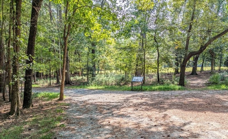
Location. 33° 58.607′ N, 84° 34.231′ W. Marker is near Marietta, Georgia, in Cobb County. It can be reached from Lookingglass Lane. Marker is a wayside exhibit on the Camp Brumby Loop Trail in Kennesaw Mountain National Battlefield Park. Touch for map. Marker is at or near this postal address: 825 Lookingglass Ln, Marietta GA 30064, United States of America. Touch for directions.

Regionally, this marker is in Georgia’s Piedmont and in Metro Atlanta. It is also in the American South and specifically in the Deep South. Globally, it is in North America, the Western Hemisphere, the Western World, and the Anglosphere. Historically, it finds itself in what was once the original Cherokee Nation, the territory of the Mississippian Culture, one of the original Thirteen Colonies, one of the Confederate States of America, and the Antebellum South.
Other nearby markers. At least 8 other markers are within walking
September 26, 2023
2. Welcome to Camp Brumby Marker
Also see . . . Kennesaw Mountain National Battlefield Park. National Park Service (Submitted on March 10, 2024.)
Credits. This page was last revised on June 30, 2025. It was originally submitted on March 8, 2024. This page has been viewed 523 times since then and 75 times this year. Photos: 1, 2. submitted on March 8, 2024. • Bernard Fisher was the editor who published this page.
