Powhatan in Lawrence County, Arkansas — The American South (West South Central)
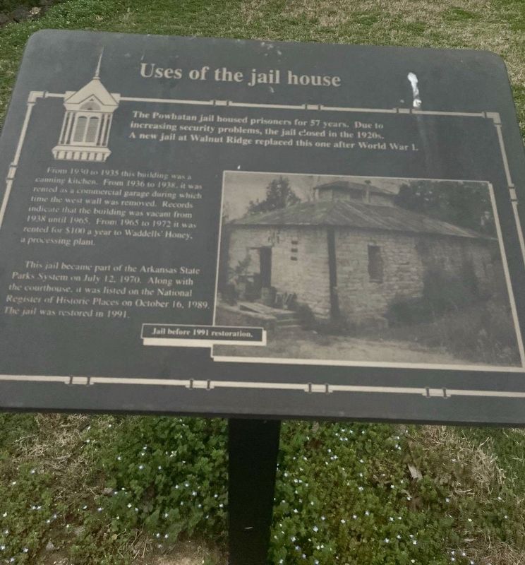
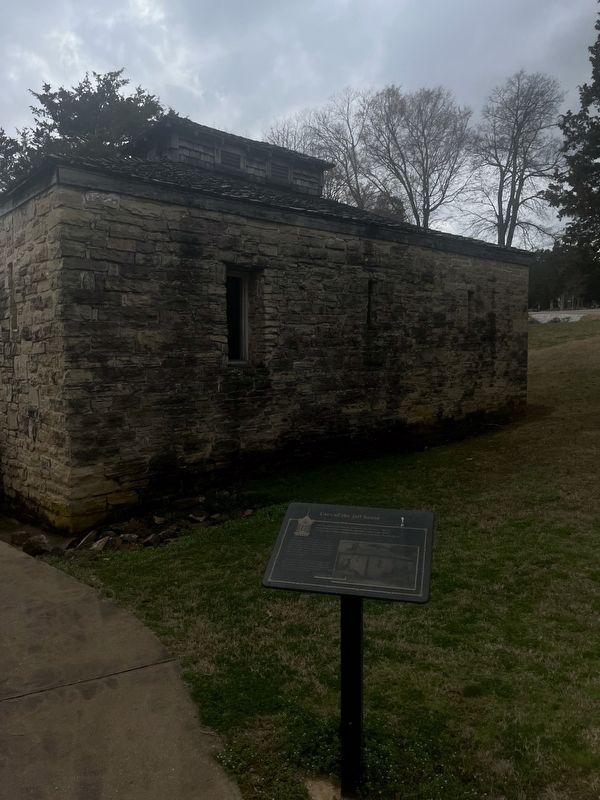
Uses of the Jail House
The Powhatan jail housed prisoners for 57 years. Due to increasing security problems, the jail closed in the 1920s A new jail at Walnut Ridge replaced this one after World War 1.
From 1850 an 1935 this building was a canning kitchen. From 1936 to 1938, newest as a commercial garage during which time the west wall was removed. Records indicate that the building was vacant from 1938 until 1965. From 1965 to 1972 it was rented for $100 a year to Waddell Honey processing plant.
This jail became part of the Arkansas State Parks System on July 12, 1970. Along with the courthouse, it was listed on the National Register of Historic Places on October 16, 1989) The jail was restored in 1991.
Topics. This historical marker is listed in these topic lists: Industry & Commerce • Law Enforcement • Parks & Recreational Areas. A significant historical year for this entry is 1920.
Location. 36° 4.933′ N, 91° 7.128′ W. Marker is in Powhatan, Arkansas, in Lawrence County. Marker is on State Highway 25 just west of 3rd Street, on the right when traveling east. Powhatan Historic state Park. Touch for map. Marker is at or near this postal address: 4411 Highway 25, Powhatan AR 72458, United States of America. Touch for directions.
Other nearby markers. At least 8 other markers are within walking distance of this marker. The Conviction of Samuel Helms (a few steps from this marker); Powhatan Courthouse State Park (within shouting distance of this marker); Powhatan Jail (within shouting distance of this marker); Log Cabin Kitchen (about 300 feet away, measured in a direct line); Changes made to the Jail (about 300 feet away); Log Cabin (about 300 feet away); Commercial Building (about 400 feet away); The Black River (about 500 feet away). Touch for a list and map of all markers in Powhatan.
Credits. This page was last revised on March 25, 2024. It was originally submitted on March 8, 2024, by Thomas Smith of Waterloo, Ill. This page has been viewed 48 times since then. Photos: 1, 2. submitted on March 8, 2024, by Thomas Smith of Waterloo, Ill. • Devry Becker Jones was the editor who published this page.
Editor’s want-list for this marker. Clearer, daylight photos of the marker, its context and the jailhouse. • Can you help?

