Lone Pine in Inyo County, California — The American West (Pacific Coastal)
Mt. Whitney Pack Trains
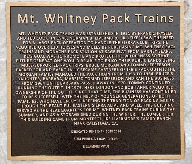
Photographed by Craig Baker, March 9, 2024
1. Mt. Whitney Pack Trains Marker
this page online
Erected 2023 by Slim Princess Chapter #395 E Clampus Vitus.
Topics and series. This historical marker is listed in these topic lists: Animals • Industry & Commerce • Parks & Recreational Areas. In addition, it is included in the E Clampus Vitus series list. A significant historical year for this entry is 1921.
Location. 36° 36.148′ N, 118° 4.23′ W. Marker is in Lone Pine, California, in Inyo County. It is on Whitney Portal Road 0.4 miles west of U.S. 395, on the right when traveling west. Touch for map. Marker is at or near this postal address: 651 Whitney Portal Rd, Lone Pine CA 93545, United States of America. Touch for directions.

Regionally, this marker is in California’s Sierra Nevada. It is also in the American Mountain West. Globally, it is in North America, on the Ring of Fire, on the Pacific Rim, in the Western Hemisphere, in the Western World, and in the Anglosphere. Historically, it finds itself in what was
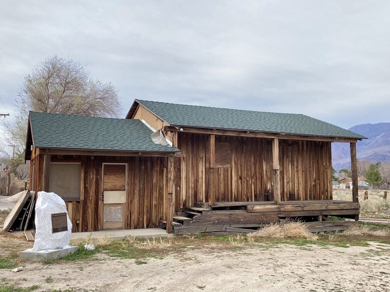
Photographed by Craig Baker, March 9, 2024
2. Mt. Whitney Pack Trains Marker
Other nearby markers. At least 8 other markers are within 2 miles of this marker, measured as the crow flies: The Adobe Wall (approx. 0.4 miles away); Lone Pine's 'Movie Man' (approx. half a mile away); The Duke and the Dow (approx. half a mile away); Wedding of the Waters Pageant (approx. half a mile away); Lone Pine Film Museum (approx. half a mile away); Fred French Family Oak (approx. 0.9 miles away); Disaster in 1872 (approx. 1.1 miles away); Lone Pine Pioneer Cemetery (approx. 1.3 miles away). Touch for a list and map of all markers in Lone Pine.
Credits. This page was last revised on March 9, 2024. It was originally submitted on March 9, 2024, by Craig Baker of Sylmar, California. This page has been viewed 485 times since then and 97 times this year. Photos: 1, 2. submitted on March 9, 2024, by Craig Baker of Sylmar, California.
