Devils Lake in Ramsey County, North Dakota — The American Midwest (Upper Plains)
History of Devils Lake
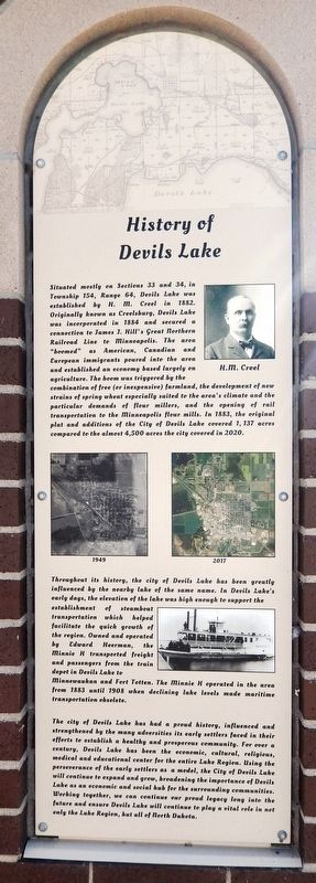
Situated mostly on Sections 33 and 34, in Township 154, Range 64, Devils Lake was established by H. M. Creel in 1882. Originally known as Creelsburg, Devils Lake was incorporated in 1884 and secured a connection to James J. Hill's great northern Railroad Line to Minneapolis. The area “boomed” as American, Canadian and European immigrants poured into the area and established an economy based largely on agriculture. The boom was triggered by the combination of free (or inexpensive) farmland, the development of new strains of spring wheat especially suited to the area's climate and the particular demands of flour millers, and the opening of rail transportation to the Minneapolis flour mills. In 1883, the original plat and additions of the City of Devils Lake covered 1,137 acres compared to the almost 4,500 acres the city covered in 2020.
Throughout its history, the city of Devils Lake has been greatly influenced by the nearby lake of the same name. In Devils Lake's early days, the elevation of the lake was high enough to support the establishment of steamboat transportation which helped facilitate the quick growth of the region. Owned and operated by Edward Heerman, the Minnie H transported freight and passengers from the train depot in Devils Lake to Minnewaukan and Fort Totten. The Minnie H operated in the area from 1883 until 1908 when declining lake levels made maritime transportation obsolete.
The city of Devils Lake has had a proud history, influenced and strengthened by the many adversities its early settlers faced in their efforts to establish a healthy and prosperous community. For over a century, Devils Lake has been the economic, cultural, religious, medical and educational center for the entire Lake Region. Using the perseverance of the early settlers as a model, the City of Devils Lake will continue to expand and grow, broadening the importance of Devils Lake as an economic and social hub for the surrounding communities. Working together, we can continue our proud legacy long into the future and ensure Devils Lake will continue to play a vital role in not only the Lake Region, but all of North Dakota.
Topics. This historical marker is listed in these topic lists: Agriculture • Railroads & Streetcars • Settlements & Settlers • Waterways & Vessels. A significant historical year for this entry is 1882.
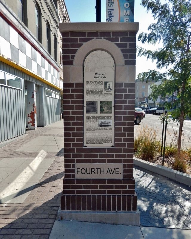
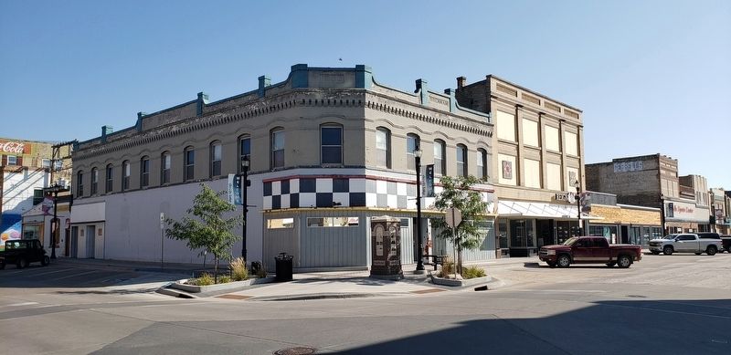
Location. 48° 6.71′ N, 98° 51.614′ W. Marker is in Devils Lake, North Dakota, in Ramsey County. Marker is at the intersection of 4th Avenue Northeast and 4th Street Northeast, on the left when traveling south on 4th Avenue Northeast. The marker is located on the sidewalk at the northeast corner of the intersection, facing 4th Avenue Northeast. Touch for map. Marker is at or near this postal address: 410 4th Avenue Northeast, Devils Lake ND 58301, United States of America. Touch for directions.
Other nearby markers. At least 8 other markers are within walking distance of this marker. The Lake “Mníwakháŋ” (here, next to this marker); The Origin of Devils Lake (a few steps from this marker); Bangs-Wineman Block (a few steps from this marker); Historic Devils Lake Commercial District (within shouting distance of this marker); Devils Lake Flood Management (within shouting distance of this marker); Devils Lake State Bank (within shouting distance of this marker); Ye Old Tavern (within shouting distance of this marker); Antiques Store (within shouting distance of this marker). Touch for a list and map of all markers in Devils Lake.
Related markers. Click here for a list of markers that are related to this marker.
Also see . . .
1. Devils Lake, North Dakota (Wikipedia). Excerpt:
The present site of Devils Lake was, historically, a territory of the Dakota people. However, the Sisseton, Wahpeton, and Cut-Head bands of the Dakotas were relocated to the Spirit Lake Reservation as a result of the 1867 treaty between the United States and the Dakota that established a reservation for those who had not been forcibly relocated to Crow Creek Reservation in what is now South Dakota. The first house built by an Euro-American settler was in 1882. It was surveyed in 1883 and named Creelsburg and later Creel City, after the surveyor, Heber M. Creel. In 1884 it was renamed Devils Lake.(Submitted on March 11, 2024, by Cosmos Mariner of Cape Canaveral, Florida.)
2. Captain Heerman and the Minnie H. Excerpt:
The building of the steamboat Minnie H on the shores of Devils Lake was something of an epic in the history of the Midwest. In 1882-1883 the country was still almost a wilderness, opened to white settlement only the year previous, with no organized county, townships, or villages, and little or no shelter or protection except for the military post at Fort Totten. Captain Edward Edson Heerman, born in Vermont in 1834, had a long career of steam boating. Almost all of his boats were named in one way or another for his only daughter, Minnietta Heerman, later Mrs. Minnie Heerman Naugle of Devils Lake.(Submitted on March 11, 2024, by Cosmos Mariner of Cape Canaveral, Florida.)
Credits. This page was last revised on March 12, 2024. It was originally submitted on March 10, 2024, by Cosmos Mariner of Cape Canaveral, Florida. This page has been viewed 49 times since then. Photos: 1, 2, 3. submitted on March 11, 2024, by Cosmos Mariner of Cape Canaveral, Florida.


