Near Durant in Bryan County, Oklahoma — The American South (West South Central)
Ahihla
Dance Circle
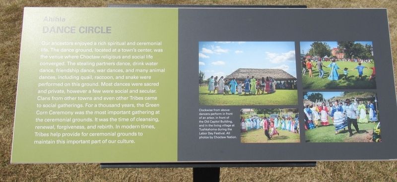
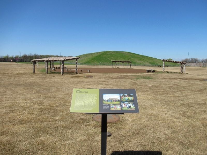
Our ancestors enjoyed a rich spiritual and ceremonial life. The dance ground, located at a town's center, was the venue where Choctaw religious and social life converged. The stealing partners dance, drink water dance, friendship dance, war dances, and many animal dances, including quail, raccoon, and snake were performed on this ground. Most dances were sacred and private, however a few were social and secular. Clans from other towns and even other Tribes came to social gatherings. For a thousand years, the Green Corn Ceremony was the most important gathering at the ceremonial grounds. It was the time of cleansing, renewal, forgiveness, and rebirth. In modern times, Tribes help provide for ceremonial grounds to maintain this important part of our culture.
[Caption:]
Clockwise from above: dancers perform in front of an arbor, in front of the Old Capitol Building, and in the living village at Tushkahoma during the Labor Day Festival. All photos by Choctaw Nation.
Erected by Choctaw Nation Historical Society.
Topics. This historical marker is listed in these topic lists: Anthropology & Archaeology • Churches & Religion • Native Americans.
Location. 33° 57.907′ N, 96° 25.248′ W. Marker is near Durant, Oklahoma, in Bryan County. Marker can be reached from Hina Hanta Way east of Cale Switch Road, on the right when traveling south. Located on the ground of the Choctaw Cultural Center. Touch for map. Marker is in this post office area: Calera OK 74730, United States of America. Touch for directions.
Other nearby markers. At least 8 other markers are within 12 miles of this marker, measured as the crow flies. Colbert's Ferry (approx. 9 miles away); Red River Bridge (approx. 9.1 miles away); The Message Tree (approx. 9.9 miles away); Nail's Crossing (approx. 11.6 miles away); Fort Washita (approx. 11.9 miles away); General Douglas Hancock Cooper (approx. 12 miles away); Chickasaw Trail of Tears (approx. 12 miles away); Colbert Family (approx. 12.1 miles away). Touch for a list and map of all markers in Durant.
Credits. This page was last revised on March 11, 2024. It was originally submitted on March 10, 2024, by Jason Armstrong of Talihina, Oklahoma. This page has been viewed 51 times since then. Photos: 1, 2. submitted on March 10, 2024, by Jason Armstrong of Talihina, Oklahoma. • Devry Becker Jones was the editor who published this page.

