Manhattan Valley in New York County, New York — The American Northeast (Mid-Atlantic)
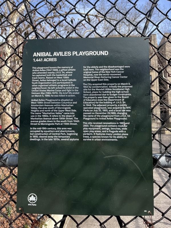
Anibal Aviles Playground
1.441 acres
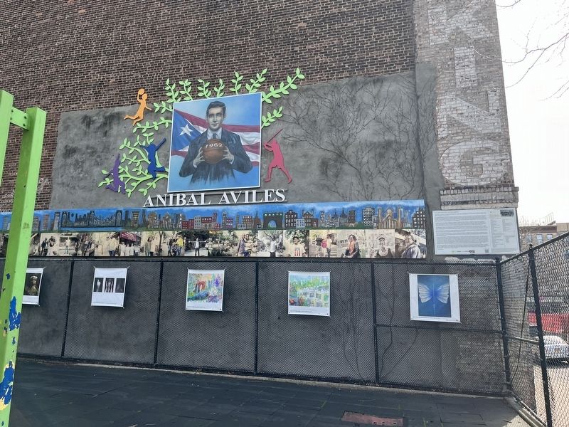
This playground honors the memory of Anibal Aviles (1947-1966), a gifted athlete who attended nearby J.H.S. 54, where he captained both the basketball and track teams. Raised on West 109th Street, Aviles belonged to a local Catholic Youth Organization and participated in other organized athletic programs in the neighborhood. He left school to enlist in the United States Marine Corps and fight in the Vietnam War (1964-1975). His brief life ended on March 5, 1966; he was killed in action.
Anibal Aviles Playground is situated on West 108th Street between Columbus and Amsterdam Avenues within Manhattan Valley, the area south of Morningside Heights and north of the Upper West Side. The name "Manhattan Valley" came into use in the 1960s. It refers to the slope of Manhattan Avenue above 100th Street. The avenue grades down to the south from 104th Street to Morningside Park at 110th Street.
In the mid-19th century, this area was occupied by squatters and shantytowns, but construction of Central Park, beginning in 1859, cleared away the temporary dwellings. In the late 1870s, several asylums for the elderly and the disadvantaged were built here. The neighborhood was the original home of the New York Cancer Hospital, now the world-renowned Memorial Sloan Kettering Cancer Center on the Upper East Side.
The City acquired this property on March 8, 1943 by condemnation. Initially the proposed site for the Wendell Wilkie Vocational High School, plans for building the high school were abandoned due to budget constraints. The property was then given to the Board of Education (now Department of Education) for the building of J.H.S. 54 in 1948. The adjacent property, a jointly operated playground, was acquired by NYC Parks on July 20, 1950, and a local law was passed on December 29, 1969, changing the name of the playground from J.H.S. 54 Playground to Anibal Aviles Playground.
This site received renovations in 1993 and 2003. The playground contains modular play equipment, swings, benches, wide open play areas, and a flagpole with a yardarm. It features many London plane trees, a species known for its ability to survive in urban environments.
Erected by NYC Parks. (Marker Number 300.)
Topics and series. This historical marker is listed in these topic lists: Education • Hispanic Americans • Parks & Recreational Areas • War, Vietnam. In addition, it is included in the NYC Parks series list. A significant historical date for this entry is March 5, 1966.
Location. 40° 48.066′ N, 73° 57.779′ W. Marker is in Manhattan, New York, in New York County. It is in Manhattan Valley.

Photographed By Devry Becker Jones (CC0), March 8, 2024
2. Anibal Aviles Playground Marker
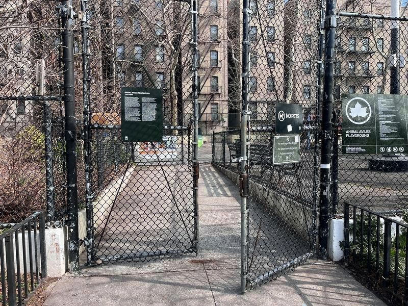
This is the entrance gate to the park.
Click for more information.
Click for more information.
Other nearby markers. At least 8 other markers are within walking distance of this marker. West Side Movers (about 400 feet away, measured in a direct line); Minerva Bernardino Greenstreet (about 700 feet away); Morningside Heights Historic District (approx. 0.2 miles away); Goya (approx. 0.2 miles away); Aesop (approx. 0.2 miles away); Peace Fountain (approx. 0.2 miles away); The Cathedral Church of St. John the Divine (approx. 0.2 miles away); Bloomingdale Park (approx. ¼ mile away). Touch for a list and map of all markers in Manhattan.

Photographed By Devry Becker Jones (CC0), March 8, 2024
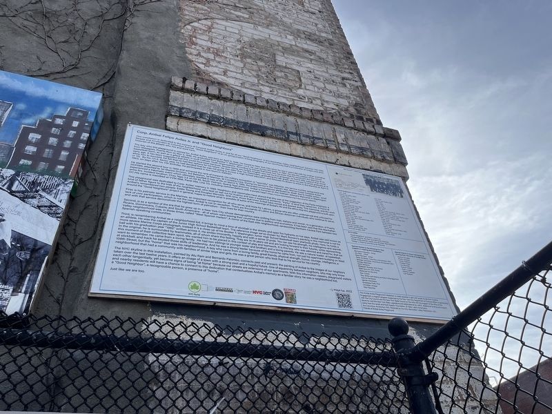
4. Interpretive banner for the artwork along the brick wall
Credits. This page was last revised on March 11, 2024. It was originally submitted on March 11, 2024, by Devry Becker Jones of Washington, District of Columbia. This page has been viewed 36 times since then. Photos: 1, 2, 3, 4. submitted on March 11, 2024, by Devry Becker Jones of Washington, District of Columbia.

