Prescott in Leeds and Grenville United Counties, Ontario — Central Canada (North America)
Prescott, Ontario
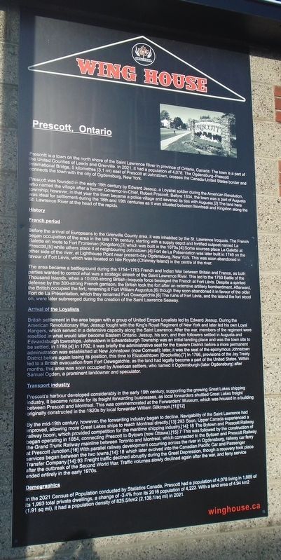
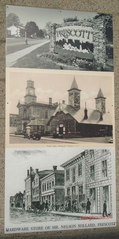
Prescott is a town on the north shore of the Saint Lawrence River in [the] province of Ontario, Canada. The town is a part of the United Counties of Leeds and Grenville. In 2021, it had a population of 4,078. The Ogdensburg-Prescott International Bridge, 5 kilometres (3.1 mi) east of Prescott at Johnstown, crosses the Canada-United States border and connects the town with the city of Ogdensburg, New York.
Prescott was founded in the early 19th century by Edward Jessup, a Loyalist soldier during the American Revolution, who named the village after a former Governor-in-Chief, Robert Prescott. Before 1834, the town was a part of Augusta township; however, in that year the town became a police village and severed its ties with Augusta.[2] The land here was ideal for settlement during the 18th and 19th centuries as it was situated between Montreal and Kingston along the St. Lawrence River at the head of the rapids.
History
French period
Before the arrival of Europeans to the Grenville County area, it was inhabited by the St. Lawrence Iroquois. The French began occupation of the area in the late 17th century, starting with a supply depot and fortified outpost named La Galette en route to Fort Frontenac (Kingston), [3] which was built in the 1670s.[4] Some sources place La Galette at Prescott,[5] while others place it at neighbouring Johnstown.[4] Fort de La Présentation was later built in 1749 on the other side of the river, at Lighthouse Point near present-day Ogdensburg, New York. This was soon abandoned in favour of Fort Lévis, which was located on Isle Royale (Chimney Island) in the centre of the river.
The area became a battleground during the 1754-1763 French and Indian War between Britain and France, as both parties wanted to control what was a strategic stretch of the Saint Lawrence River. This led to the 1760 Battle of the Thousand Islands, when a 10,000-strong British-Iroquois force besieged the French at Fort Lévis. Despite a spirited defense by the 300-strong French garrison, the British took the fort after an extensive artillery bombardment. Afterward, the British occupied the fort, renaming it Fort William Augustus,[6] though they soon abandoned it in favour of the older Fort de La Présentation, which they renamed Fort Oswegatchie.[6] The ruins of Fort Lévis, and the island the fort stood on, were later submerged during the creation of the Saint Lawrence Seaway.
Arrival of the Loyalists
British settlement in the area began with a group of United Empire Loyalists led by Edward Jessup. During the American Revolutionary War, Jessup fought with the King's Royal Regiment of New York and later led his own Loyal Rangers, which served in a defensive capacity along the Saint Lawrence. After the war, members of the regiment were resettled in what would later become Eastern Ontario. Jessup, his son, and their followers settled in Augusta and Edwardsburgh townships. Johnstown in Edwardsburgh Township was an initial landing place and was the town site to be settled, in 1789.[4] In 1792, it was briefly the administrative seat for the Eastern District before a more permanent administration was established at New Johnstown (now Cornwall); later, it was the seat of the eponymous Johnstown District before again losing its position, this time to Elizabethtown (Brockville).[7] In 1796, provisions of the Jay Treaty led to a British evacuation from Fort Oswegatchie, as the land had legally become a part of the United States. Within months, this area was soon occupied by American settlers, who named it Ogdensburgh (later Ogdensburg) after Samuel Ogden, a prominent landowner and speculator.
Transport industry
Prescott's harbour developed considerably in the early 19th century, supporting the growing Great Lakes shipping industry. It became notable for its freight forwarding businesses, as local forwarders shuttled Great Lakes freight between Prescott and Montreal. This was commemorated at the Forwarders' Museum, which was housed in a building originally constructed in the 1820s by local forwarder William Gilkinson.[11][12]
By the mid-19th century, however, the forwarding industry began to decline. Navigability of the Saint Lawrence had improved, allowing more Great Lakes ships to reach Montreal directly.[13]: 293 Soon, Upper Canada experienced a railway boom, which provided competition for the maritime shipping industry.[14]: 18 The Bytown and Prescott Railway began operating in 1854, connecting Prescott to Bytown (now Ottawa).[15]:7 This was followed by the construction of the Grand Trunk Railway mainline between Toronto and Montreal, which connected to the Bytown and Prescott Railway at Prescott Junction.[16] With parallel railway development occurring across the river in Ogdensburg, railway car ferry services began between the two towns, [14]: 18 which later evolved into the Canadian Pacific Car and Passenger Transfer Company.[14]:93 Freight traffic declined abruptly during the Great Depression, though a recovery took place after the outbreak of the Second World War. Traffic volumes slowly declined again after the war, and ferry service ended entirely in the early 1970s.
Demographics
In the 2021 Census of Population conducted by Statistics Canada, Prescott had a population of 4,078 living in 1,889 of its 1,993 total private dwellings, a change of -3.4% from its 2016 population of 4,222. With a land area of 4.94 km2 (1.91 sq mi), it had a population density of 825.5/km2 (2,138.1/sq mi) in 2021.
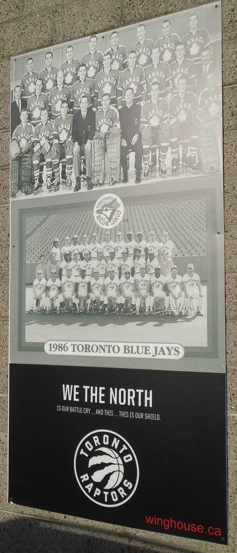
Erected by Wing House Prescott.
Topics. This historical marker is listed in these topic lists: Patriots & Patriotism • Settlements & Settlers • War, French and Indian • Waterways & Vessels. A significant historical year for this entry is 2021.
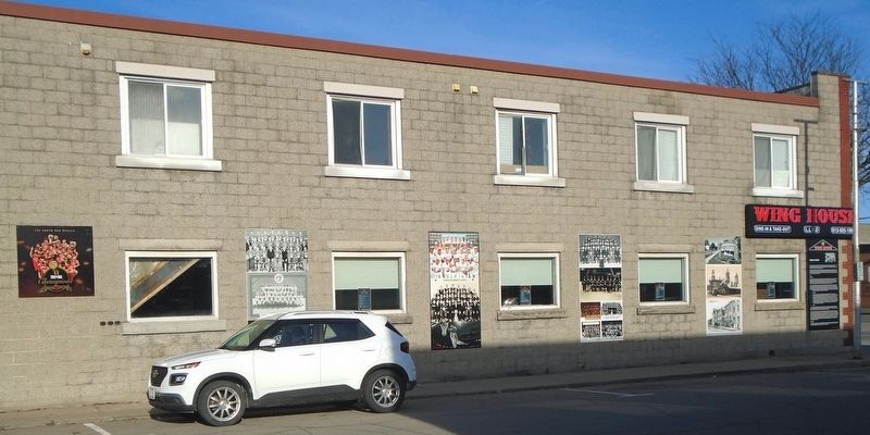
Location. 44° 42.514′ N, 75° 30.971′ W. Marker is in Prescott, Ontario, in Leeds and Grenville United Counties. Marker is at the intersection of King Street West (County Highway 2) and George Street, on the left when traveling east on King Street West. Touch for map. Marker is at or near this postal address: 298 King Street West, Prescott ON K0E 1T0, Canada. Touch for directions.
Other nearby markers. At least 8 other markers are within walking distance of this marker. Glasgow, Smyth Building (about 90 meters away, measured in a direct line); The Prescott People's Place (about 150 meters away); Rotary Clock Tower and L. H. Daniels Memorial Clock (about 150 meters away); Forwarders' Museum (about 180 meters away); Prescott Raid on Ogdensburgh (about 180 meters away); Moran and Hooker Buildings (about 210 meters away); War Memorial (approx. 0.2 kilometers away); Harry Horwood (approx. 0.3 kilometers away). Touch for a list and map of all markers in Prescott.
Credits. This page was last revised on March 11, 2024. It was originally submitted on March 11, 2024, by William Fischer, Jr. of Scranton, Pennsylvania. This page has been viewed 53 times since then. Photos: 1, 2, 3, 4, 5, 6, 7. submitted on March 11, 2024, by William Fischer, Jr. of Scranton, Pennsylvania.
