
Bushwick in Brooklyn in Kings County, New York — The American Northeast (Mid-Atlantic)
Thomas Boyland Park
1.82 acres
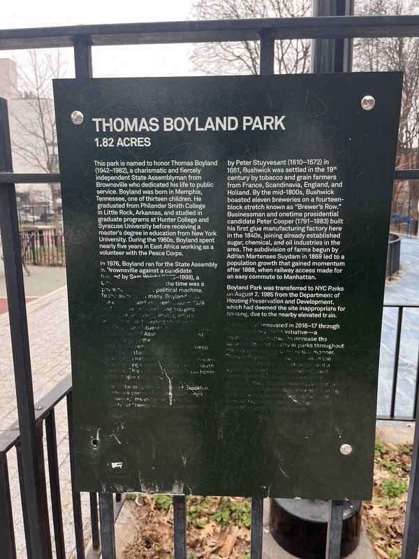
This park is named to honor Thomas Boyland (1942-1982), a charismatic and fiercely independent State Assemblyman from Brownsville who dedicated his life to public service. Boyland was born in Memphis, Tennessee, one of thirteen children. He graduated from Philander Smith College in Little Rock, Arkansas, and studied in graduate programs at Hunter College and Syracuse University before receiving a master's degree in education from New York University. During the 1960s, Boyland spent nearly five years in East Africa working as a volunteer with the Peace Corps.
In 1976, Boyland ran for the State Assembly in Brownsville against a candidate backed by Sam Wright (1925-1998), a City Councilman who at the time was a powerful leader of a political machine. To the surprise of many, Boyland won the election, and was reelected in 1978 and 1980 by overwhelming margins. Boyland's popularity among voters was based on delivering services to individual constituents, setting an agenda independent of Assembly leaders, and advocating for the less fortunate. One friend said of Boyland, “He became one of those rare politicians who really
this page online
One of the original six towns of Brooklyn, Bushwick comes from the Dutch word “Boswijck,” meaning “refuge in the woods” or “heavy woods.” Chartered by Peter Stuyvesant (1610-1672) in 1661, Bushwick was settled in the 19th century by tobacco and grain farmers from France, Scandinavia, England, and Holland. By the mid-1800s, Bushwick boasted eleven breweries on a fourteen-block stretch known as “Brewer’s Row.” Businessman and onetime presidential candidate Peter Cooper (1791-1883) built his first
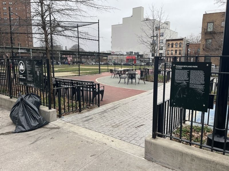
Boyland Park was transferred to NYC Parks on August 2, 1985 from the Department of Housing Preservation and Development, which had deemed the site inappropriate for housing, due to the nearby elevated train.
This site was renovated 2016-17 through the Community Parks Initiative—a multi-faceted program to increase the accessibility and quality of parks throughout the five boroughs in an equitable manner. Thomas Boyland Park was chosen in the first round of CPI sites and underwent a complete transformation that included a new basketball court, a community gathering area, adult fitness equipment, a redesigned children's play area with a spray shower, a natural turf baseball field with surrounding track, new landscaping, and innovative green infrastructure.
Erected by NYC Parks.
Topics and series. This historical marker
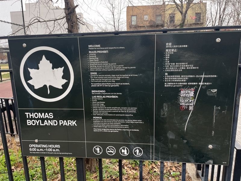
Location. 40° 40.921′ N, 73° 54.434′ W. Marker has been reported damaged. Marker is in Brooklyn, New York, in Kings County. It is in Bushwick. It is on Furman Avenue 0.1 miles north of Broadway, on the right when traveling south. Touch for map. Marker is at or near this postal address: 27 Furman Ave, Brooklyn NY 11207, United States of America. Touch for directions.

Regionally, this marker is in New York City and on Long Island. It is also in the American Northeast, in the Mid-Atlantic, and on the Eastern Seaboard. Globally, it is in the North Atlantic Region, North America, the Western Hemisphere, the Western World, and the Anglosphere. Historically, it finds itself in what was once New Netherland and also one of the original Thirteen Colonies.
Other nearby markers. At least 8 other markers are within walking distance of this location: Rudd Playground (about 800 feet away, measured in a direct line); Hull Street Community Garden (about 800 feet away); Howard’s Inn – Evergreen Cemetery (approx. ¼ mile away); New Hope Pentecostal Church of Greater Mt. Zion Inc. (approx. 0.3 miles away); Callahan-Kelly Playground (approx. 0.3 miles away); Marion & Hopkinson Playground (approx. 0.3 miles away); a different marker also named Marion & Hopkinson Playground (approx. 0.4 miles away); Heaven Bound Church of Christ Holy Temple, Inc. (approx. 0.4 miles away). Touch for a list and map of all markers in Brooklyn.
Credits. This page was last revised on March 12, 2024. It was originally submitted on March 12, 2024, by Devry Becker Jones of Washington, District of Columbia. This page has been viewed 479 times since then and 59 times this year. Photos: 1, 2, 3. submitted on March 12, 2024, by Devry Becker Jones of Washington, District of Columbia.
