
Ocean Hill in Brooklyn in Kings County, New York — The American Northeast (Mid-Atlantic)
Callahan-Kelly Playground
3.650 acres
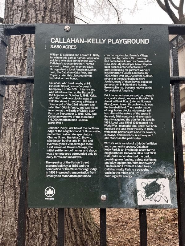
William E. Callahan and Edward E. Kelly, for whom this park is named, were local soldiers who died during World War I. Callahan's younger brother Thomas worked to keep their memory alive. He organized a local American Legion post, the Callahan-Kelly Post, and 25 years later this playground was founded in their honor.
Callahan, who lived nearby at 98 Hinsdale Street, was a Corporal in Company L of the 305 Infantry and was killed in action at the Battle of the Argonne on October 2, 1918. Kelly who also lived only blocks away at 1330 Herkimer Street, was a Private in Company G of the 23rd Infantry, and later the 106th Infantry, and was killed in action at the Battle of Dickie Bush Farm on September 2, 1918. Kelly and Callahan were two of the more than 116,000 American men killed in World War I.
Callahan-Kelly Park lies at the northern edge of the neighborhood of Brownsville, named for real estate speculators Charles S. and Harietta C. Brown, who began buying land in 1865 and eventually built 250 cottages there. First known as Brown's Village, the initial settlement of homes and shops was a remote area surrounded only
this page online
The opening of the Fulton Street elevated railway in 1889 and the completion of the Williamsburg Bridge in 1903 improved transportation from Brooklyn to Manhattan and made commuting simpler. Brown's Village grew, and by the late 19th century had come to be known as Brownsville. New York City developer Aaron Kaplan built dozens of tenements here to provide housing for garment workers in Manhattan's Lower East Side. By 1926, when over 300,000 of the 400,000 people in the neighborhood were Jewish, many of them having escaped persecution in Poland and Russia, Brownsville and become known as the "Jerusalem of America."
Brick tenement once stood on the park site, and a street, known as Brooklyn & Jamaica Plank Road (later as Norman Place), used to run through what is now the baseball field. The transformation of neighboring blocks into a major rail hub altered the nature of the space in the early 20th century, and eventually the city acquired the title for this land in 1938. Local Law 115 of 1939 named it a War War I memorial site, and NYC Parks received the land from the city in 1945, with some portions
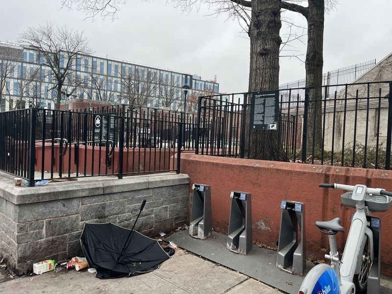
With its wide variety of athletic facilities and community spaces, Callahan-Kelly Park is an invaluable asset to the neighborhood. Between 2004 and 2006 NYC Parks reconstructed the park, providing new fencing, safety surfacing, and play equipment. With its towering Pin oaks and Littleleaf linden trees, Callahan-Kelly Park is a peaceful oasis in the midst of a neighborhood bustling with energy.
Erected by NYC Parks. (Marker Number 300.)
Topics and series. This historical marker is listed in these topic lists: Parks & Recreational Areas • Railroads & Streetcars • Settlements & Settlers • War, World I. In addition, it is included in the NYC Parks series list. A significant historical date for this entry is September 2, 1918.
Location. 40° 40.713′ N, 73° 54.217′ W. Marker is in Brooklyn, New York, in Kings County. It is in Ocean Hill. It is on Police Officer Irma Lozada Way just south of Truxton Street, on the right when traveling south. Touch for map. Marker is at or near this postal address: 2012 Broadway, Brooklyn NY 11207, United States
Photographed by Devry Becker Jones (CC0), March 9, 2024
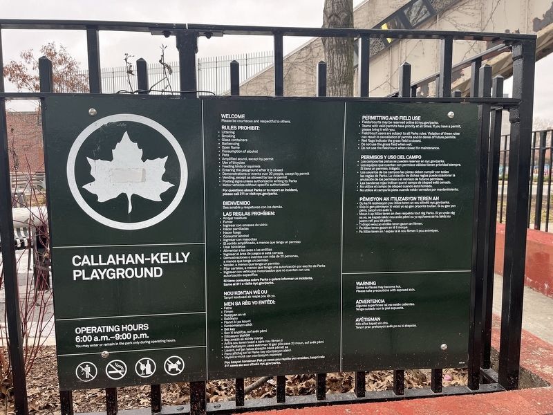
3. NYC Parks signage for Callahan-Kelly Playground

Regionally, this marker is in New York City. It is also in the American Northeast. Globally, it is in the North Atlantic Region, the Western Hemisphere, and the Anglosphere. Historically, it finds itself in what was once one of the original Thirteen Colonies.
Other nearby markers. At least 8 other markers are within walking distance of this marker: Brooklyn Rapid Transit System Veterans Memorial (approx. 0.2 miles away); Howard’s Inn – Evergreen Cemetery (approx. 0.2 miles away); Hull Street Community Garden (approx. ¼ mile away); Thomas Boyland Park (approx. 0.3 miles away); New Hope Pentecostal Church of Greater Mt. Zion Inc. (approx. 0.3 miles away); Rudd Playground (approx. 0.3 miles away); Rockaway Footpath (approx. half a mile away); Howard Playground (approx. half a mile away). Touch for a list and map of all markers in Brooklyn.
Credits. This page was last revised on March 12, 2024. It was originally submitted on March 12, 2024, by Devry Becker Jones of Washington, District of Columbia. This page has been viewed 411 times since then and 32 times this year. Photos: 1, 2, 3. submitted on March 12, 2024, by Devry Becker Jones of Washington, District of Columbia.
