Ocean Hill in Brooklyn in Kings County, New York — The American Northeast (Mid-Atlantic)
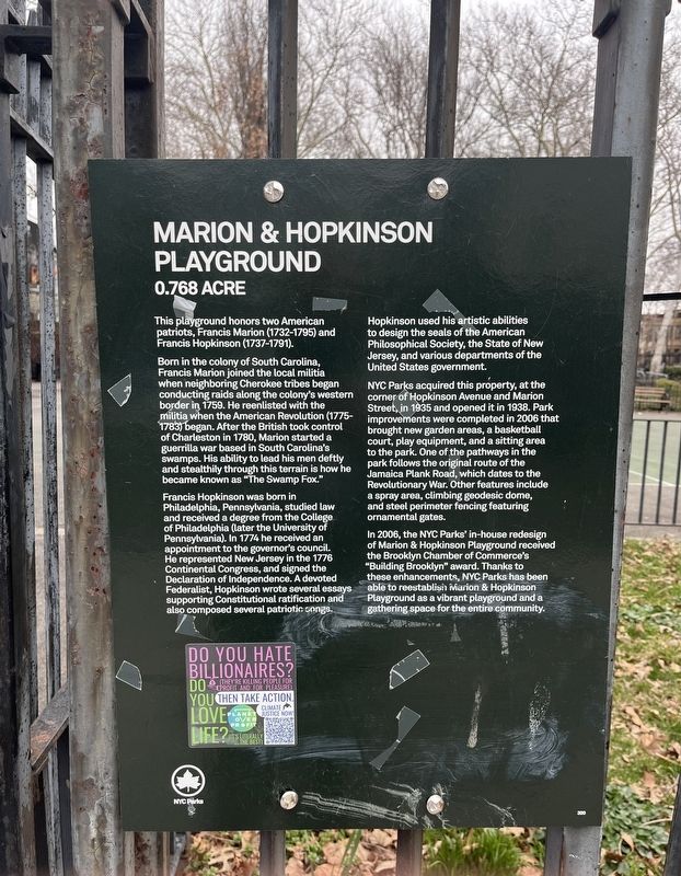
Marion & Hopkinson Playground
0.768 acre
This playground honors two American patriots, Francis Marion (1732-1795) and Francis Hopkinson (1737-1791).
Born in the colony of South Carolina, Francis Marion joined the local militia when neighboring Cherokee tribes began conducting raids along the colony's western border in 1759. He reenlisted with the militia when the American Revolution (1775-1783) began. After the British took control of Charleston in 1780, Marion started a guerrilla war based in South Carolina's swamps. His ability to lead his men deftly and stealthily through this terrain is how he became known as "The Swamp Fox."
Francis Hopkinson was born in Philadelphia, Pennsylvania, studied law and received a degree from the College of Philadelphia (later the University of Pennsylvania). In 1774 he received an appointment to the governor's council. He represented New Jersey in the 1776 Continental Congress, and signed the Declaration of Independence. A devoted Federalist, Hopkinson wrote several essays supporting Constitutional ratification and also composed several patriotic songs.
Hopkinson used his artistic abilities to design the seals of the American Philosophical Society, the State of New Jersey, and various departments of the United States government.
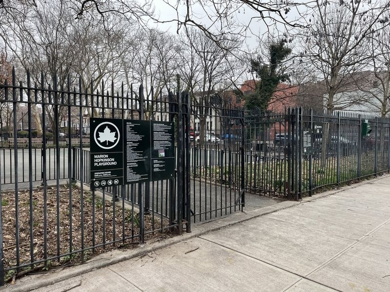
NYC Parks acquired this property, at the corner of Hopkinson Avenue and Marion Street, in 1935 and opened it in 1938. Park improvements were completed in 2006 that brought new garden areas, a basketball court, play equipment, and a sitting area to the park. One of the pathways in the park follows the original route of the Jamaica Plank Road, which dates to the Revolutionary War. Other features include a spray area, climbing geodesic dome, and steel perimeter fencing featuring ornamental gates.
In 2006, the NYC Parks' in-house redesign of Marion & Hopkinson Playground received the Brooklyn Chamber of Commerce's "Building Brooklyn" award. Thanks to these enhancements, NYC Parks has been able to reestablish, Marion & Hopkinson Playground as a vibrant playground and a gathering space for the entire community.
Erected by NYC Parks. (Marker Number 300.)
Topics and series. This historical marker is listed in these topic lists: Parks & Recreational Areas • Roads & Vehicles • War, US Revolutionary. In addition, it is included in the NYC Parks, and the Signers of the Declaration of Independence series lists. A significant historical year for this entry is 1759.
Location. 40° 40.904′ N, 73° 54.848′ W. Marker is in Brooklyn, New York, in Kings County. It is in Ocean Hill. Marker is on Thomas S. Boyland Street just north of Marion Street
Other nearby markers. At least 8 other markers are within walking distance of this marker. A different marker also named Marion & Hopkinson Playground (within shouting distance of this marker); Heaven Bound Church of Christ Holy Temple, Inc. (approx. 0.2 miles away); Rock of Ages Baptist Church and Social Center, Inc. (approx. 0.3 miles away); New Hope Pentecostal Church of Greater Mt. Zion Inc. (approx. 0.3 miles away); Hull Street Community Garden (approx. 0.4 miles away); Thomas Boyland Park (approx. 0.4 miles away); Weeksville (approx. 0.4 miles away); a different marker also named Weeksville (approx. 0.4 miles away). Touch for a list and map of all markers in Brooklyn.
Related marker. Click here for another marker that is related to this marker. An identical marker can be found elsewhere in the park.
Credits. This page was last revised on March 13, 2024. It was originally submitted on March 13, 2024, by Devry Becker Jones of Washington, District of Columbia. This page has been viewed 64 times since then. Photos: 1, 2. submitted on March 13, 2024, by Devry Becker Jones of Washington, District of Columbia.

