
Stuyvesant Heights in Brooklyn in Kings County, New York — The American Northeast (Mid-Atlantic)
Fulton Park
1.987 acres
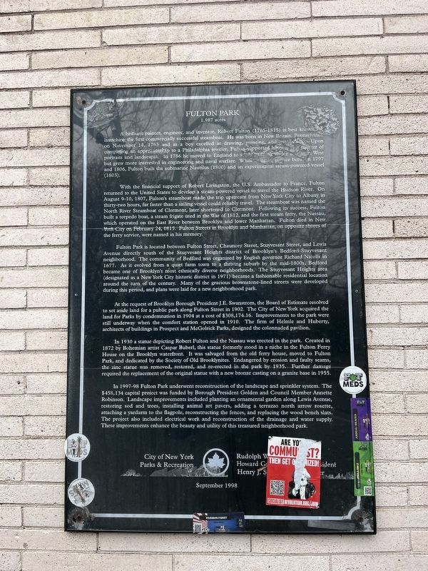
A brilliant painter, engineer, and inventor, Robert Fulton (1765-1815) is best known for launching the first commercially successful steamboat. He was born in New Britain, Pennsylvania on November 14, 1765 and as a boy excelled at drawing, painting, and mechanics. Upon completing an apprenticeship to a Philadelphia jeweler, Fulton supported himself as a painter of portraits and landscapes. In 1786 he moved to England to study painting under Benjamin west but grew more interested in engineering and naval warfare. While living in France between 1797 and 1806, Fulton built the submarine Nautilus (1800) and an experimental steam-powered vessel (1803).
With the financial support of Robert Livingston, the U.S. Ambassador to France, Fulton returned to the United States to develop a steam-powered vessel to travel the Hudson River. On August 9-10, 1807, Fulton's steamboat made the trip upstream from New York City to Albany in thirty-two hours, far faster than a sailing vessel could reliably travel. the steamboat was named the North River Steamboat of Clermont, later shortened to Clermont. Following its success, Fulton built
this page online
Fulton Park is located between Fulton Street, Chauncey Street, Stuyvesant Street, and Lewis Avenue directly south of the Stuyvesant Heights district of Brooklyn's Bedford-Stuyvesant neighborhood. The community of Bedford was organized by English governor Richard Nicolls in 1677. As it evolved from a quiet farm town to a thriving suburb of the mid-1800s, Bedford became one of Brooklyn's most ethnically diverse neighborhoods. The Stuyvesant Heights area (designated as a New York City historic district in 1971) became a fashionable residential location around the turn of the century. Many of the gracious brownstone-lined streets were developed during this period, and plans were laid for a new neighborhood park.
At the request of Brooklyn Borough President J.E. Swanstrom, the Board of Estimate resolved to set
Photographed by Devry Becker Jones (CC0), March 9, 2024
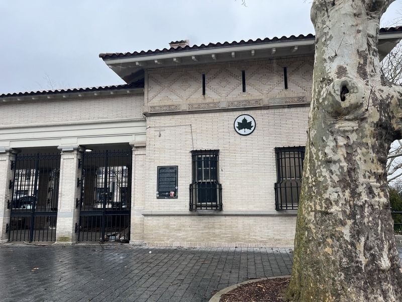
2. Fulton Park Marker
The marker is on display on the colonnade inside the park.
In 1997-98 Fulton Park underwent reconstruction of the landscape and sprinkler system. The $458,134 capital project was funded by Borough President Golden and Council Member Annette Robinson. Landscape improvements included
Photographed by Devry Becker Jones (CC0), March 9, 2024
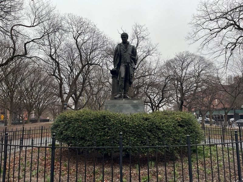
3. Caspar Buberl's restored 1872 Robert Fulton statue on display in the park
Erected 1998 by City of New York Parks & Recreation (NYC Parks).
Topics and series. This historical marker is listed in these topic lists: Industry & Commerce • Parks & Recreational Areas • Settlements & Settlers • Waterways & Vessels. In addition, it is included in the NYC Parks series list. A significant historical date for this entry is August 9, 1807.
Location. 40° 40.782′ N, 73° 55.899′ W. Marker is in Brooklyn, New York, in Kings County. It is in Stuyvesant Heights. It is on Fulton Street west of Stuyvesant Avenue, on the left when traveling east. Touch for map. Marker is at or near this postal address: 70 Chauncey St, Brooklyn NY 11233, United States of America. Touch for directions.

Regionally, this
Photographed by Devry Becker Jones (CC0), March 9, 2024
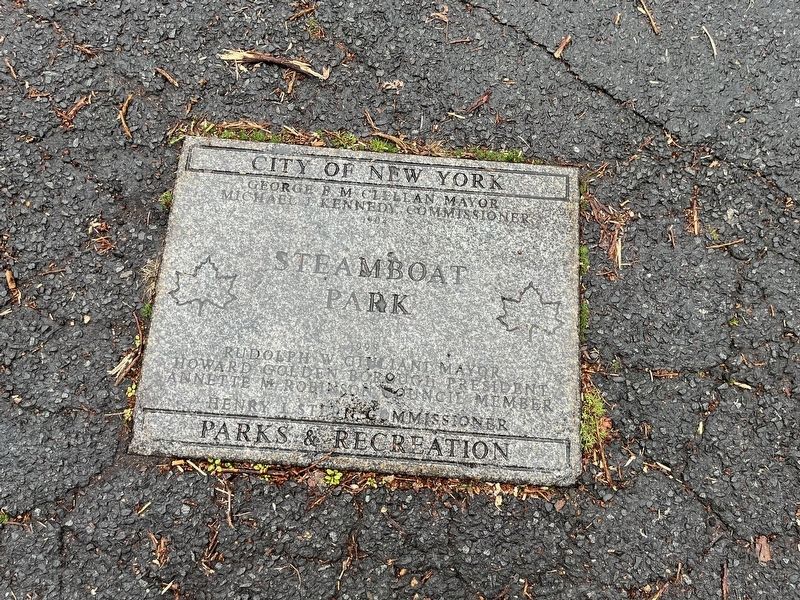
4. NYC Parks 1998 re-dedication paver inside the park
Note that at the time of rededication, the park was named Steamboat Park.
Other nearby markers. At least 8 other markers are within walking distance of this marker: Charles C. Pinn Triangle (approx. 0.2 miles away); Hunterfly Road Houses (approx. half a mile away); GreenThumb (approx. 0.6 miles away); Weeksville (approx. 0.7 miles away); a different marker also named Weeksville (approx. 0.7 miles away); Shirley Chisholm Park (approx. 0.7 miles away); Shirley Chisholm Circle (approx. 0.7 miles away); Rock of Ages Baptist Church and Social Center, Inc. (approx. ¾ mile away). Touch for a list and map of all markers in Brooklyn.
Another marker is no longer nearby. Charles C. Pinn Triangle (was approx. 0.2 miles away but has been replaced with another marker now near it).
Credits. This page was last revised on March 13, 2024. It was originally submitted on March 13, 2024, by Devry Becker Jones of Washington, District of Columbia. This page has been viewed 461 times since then and 103 times this year. Photos: 1, 2, 3, 4. submitted on March 13, 2024, by Devry Becker Jones of Washington, District of Columbia.
