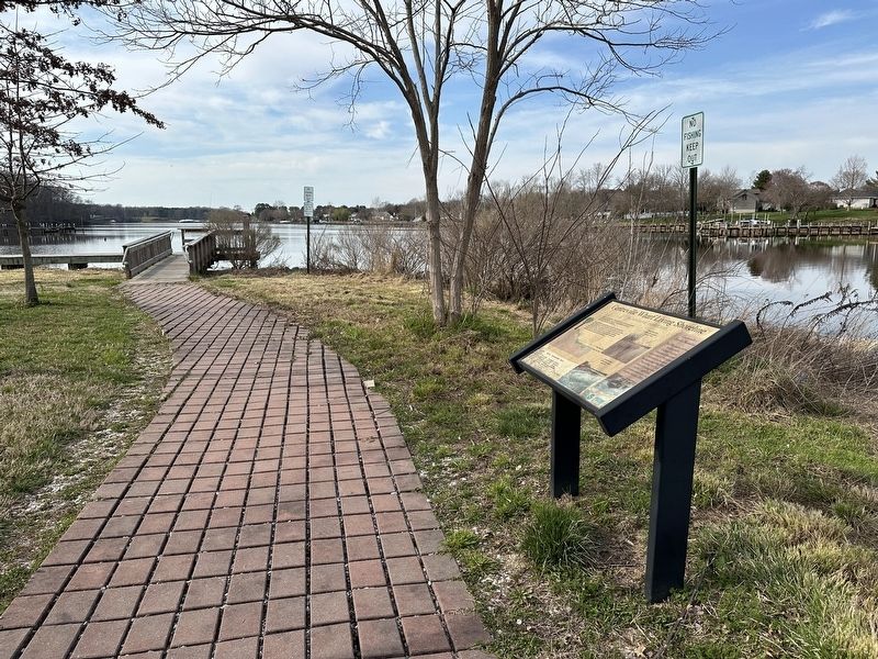
Centreville in Queen Anne's County, Maryland — The American Northeast (Mid-Atlantic)
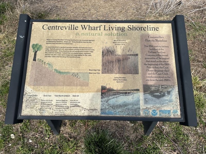
Centreville Wharf Living Shoreline
a natural solution
A natural shoreline is a gradual transition between the bank and water's edge. Typically planted with native (plants common to the local area) trees, shrubs and grasses - living shorelines do not end abruptly at water's edge like a common bulkhead. Instead they use gradual slopes, vegetation, and low rock sills to slow wave energy and create habitat for fish, crabs, and other critters that live along this transitional area.
Upland Buffer
Native trees are planted in the buffer to provide shoreline stabilization and erosion control.
Bank Face
Grasses and shrubs are planted along the bank to provide further erosion control and some habitat.
Tidal Marsh & Beach
Wetland plants are placed in this area to provide habitat for nesting terrapins, horseshoe crabs, and other species. This area is flooded during high tide.
Rock Sill
Rock sills are provided to add stabilization for wave energy.
(Upper Center Caption): Wharf Shoreline Before October 2010
(Lower Center Caption): Living Shoreline During Restoration April 2011
Centreville's Historic Shoreline
This 20th century factory building of the Valliant Fertilizer Company is the second generation of the original that stood on the site at the beginning of the 1900's. Prior to that, the Capt. Ozman shipping wharf and the Capt. Clash warehouses stood on the site from the mid-1800's.
Topics. This historical marker is listed in these topic lists: Environment • Industry & Commerce • Waterways & Vessels.
Location. 39° 3.327′ N, 76° 4.367′ W. Marker is in Centreville, Maryland, in Queen Anne's County. Marker can be reached from Watson Road. Touch for map. Marker is at or near this postal address: 212 Watson Rd, Centreville MD 21617, United States of America. Touch for directions.
Other nearby markers. At least 8 other markers are within walking distance of this marker. The Wharf: Adventure and a Link to Life on the Water (within shouting distance of this marker); Liberty Tree Memorial (about 400 feet away, measured in a direct line); Shuttled By Ship (approx. 0.2 miles away); Centreville Wharf (approx. 0.2 miles away); John Ozmon: Captain of the Sea and Entrepreneur (approx. 0.2 miles away); Chesterfield Avenue: River to Railroad Connection (approx. 0.6 miles away); The Lions Club of Centreville POW - MIA Monument (approx.
0.8 miles away); The Queen Anne's County Courthouse (approx. 0.8 miles away). Touch for a list and map of all markers in Centreville.
Credits. This page was last revised on March 18, 2024. It was originally submitted on March 13, 2024, by Pete Skillman of Townsend, Delaware. This page has been viewed 42 times since then. Photos: 1, 2. submitted on March 13, 2024, by Pete Skillman of Townsend, Delaware. • Bill Pfingsten was the editor who published this page.

