Dryden in Kenora District, Ontario — Central Canada (North America)
Recreation
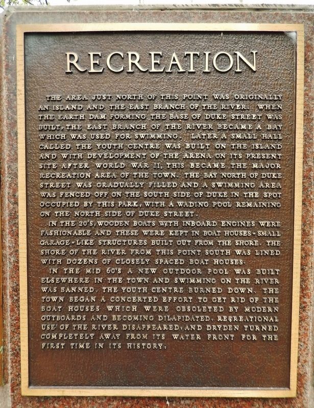
The area just north of this point was originally an island and the east branch of the river. When the earth dam forming the base of Duke Street was built, the east branch of the river became a bay which was used for swimming. Later a small Hall called the Youth Centre was built on the island and with development of the arena on its present site after World War II, this became the major recreation area of the town. The bay north of Duke Street was gradually filled and a swimming area was fenced off on the south side of Duke in the spot occupied by this park, with a wading pool remaining on the north side of Duke Street.
In the 20’s, wooden boats with inboard engines were fashionable and these were kept in boat houses — small garage-like structures built out from the shore. The shore of the river from this point south was lined with dozens of closely spaced boat houses.
In the mid 60’s a new outdoor pool was built elsewhere in the town and swimming on the river was banned, the Youth Centre burned down, the town began a concerted effort to get rid of the boat houses which were obsoleted by modern outboards and becoming dilapidated, recreational use of the river disappeared, and Dryden turned completely away from its water front for the first time in its history.
Topics. This historical marker is listed in these topic lists: Parks & Recreational Areas • Waterways & Vessels.
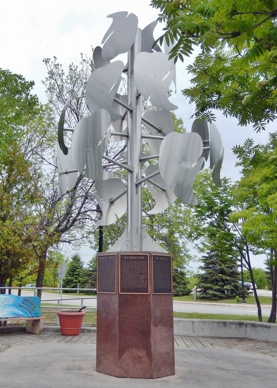
Location. 49° 46.916′ N, 92° 50.463′ W. Marker is in Dryden, Ontario, in Kenora District. Marker is at the intersection of West River Road (Duke Street) (Provincial Highway 594) and Earl Avenue, on the right when traveling east on West River Road (Duke Street). The marker is mounted on the granite base of a metal sculpture at the southwest corner of the intersection, overlooking the Duke Street Dock. Touch for map. Marker is at or near this postal address: 18 Duke Street, Dryden ON P8N 1Y1, Canada. Touch for directions.
Other nearby markers. At least 8 other markers are within walking distance of this marker. Booming Wood (here, next to this marker); The Present (here, next to this marker); Pulp and Paper (here, next to this marker); Beginnings (here, next to this marker); Gold Fever (here, next to this marker); The Railway (here, next to this marker); Agriculture (here, next to this marker); Alan Durance (within shouting distance of this marker). Touch for a list and map of all markers in Dryden.
Credits. This page was last revised on March 15, 2024. It was originally submitted on March 14, 2024, by Cosmos Mariner of Cape Canaveral, Florida. This page has been viewed 29 times since then. Photos: 1, 2. submitted on March 15, 2024, by Cosmos Mariner of Cape Canaveral, Florida.

