Dryden in Kenora District, Ontario — Central Canada (North America)
The Present
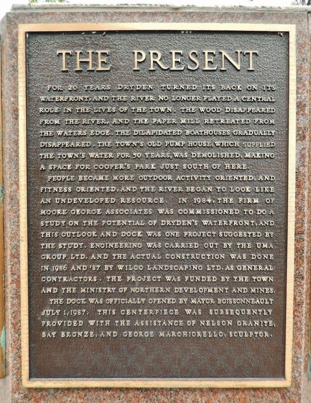
For 20 years Dryden turned its back on its waterfront, and the river no longer played a central role in the lives of the town. The wood disappeared from the river, and the paper mill retreated from the waters edge. The dilapidated boathouses gradually disappeared. The town’s old pump house, which supplied the town’s water for 50 years, was demolished, making a space for Cooper’s Park just south of here.
People became more outdoor activity oriented, and fitness oriented, and the river began to look like an undeveloped resource. In 1984, the firm of Moore George Associates was commissioned to do a study on the potential of Dryden’s waterfront, and this outlook and dock was one project suggested by the study. Engineering was carried out by the UMA Group Ltd. and the actual construction was done in 1986 and ’87 by Wilco Landscaping Ltd. as General Contractors. The project was funded by the town and the Ministry of Northern Development and Mines.
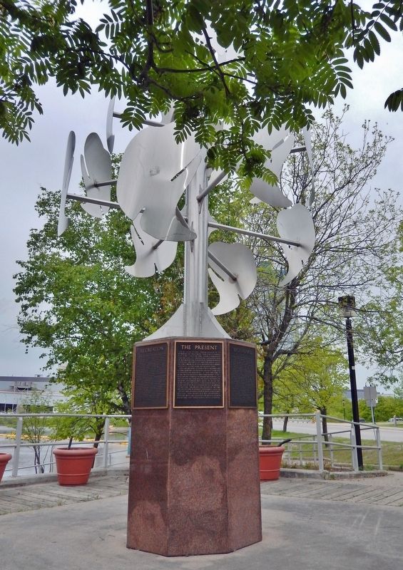
The dock was officially opened by Mayor Boissonneault July 1, 1987. This centerpiece was subsequently provided with the assistance of Nelson Granite, Bay Bronze, and George Marchiorello, sculptor.
Topics. This historical marker is listed in these topic lists: Arts, Letters, Music • Industry & Commerce • Parks & Recreational Areas • Waterways & Vessels. A significant historical date for this entry is July 1, 1987.
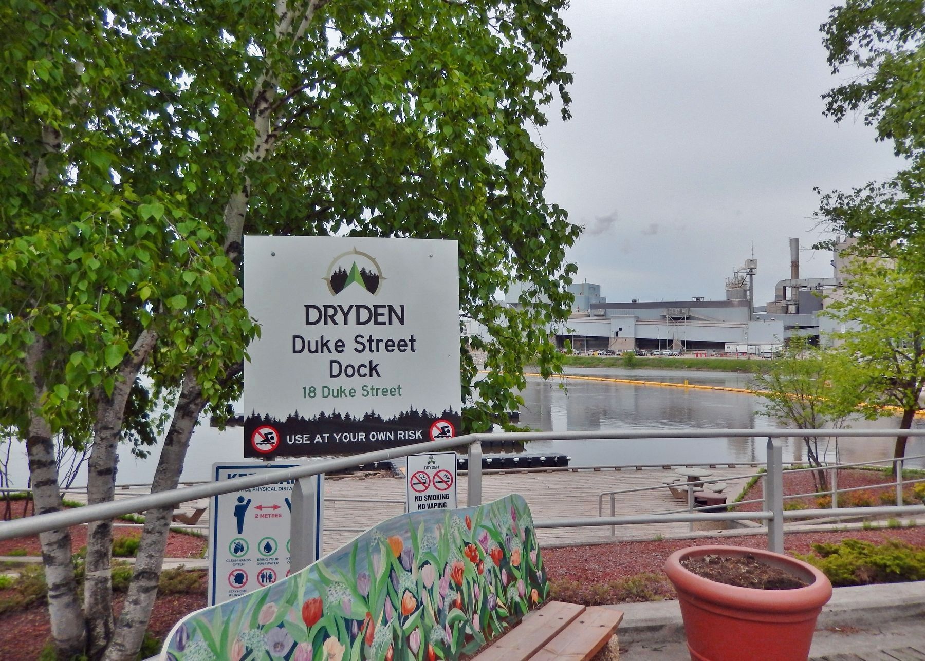
Location. 49° 46.915′ N, 92° 50.462′ W. Marker is in Dryden, Ontario, in Kenora District. Marker is at the intersection of West River Road (Duke Street) (Provincial Highway 594) and Earl Avenue, on the right when traveling east on West River Road (Duke Street). The marker is mounted on the granite base of a metal sculpture at the southwest corner of the intersection, overlooking the Duke Street Dock. Touch for map. Marker is at or near this postal address: 18 Duke Street, Dryden ON P8N 1Y1, Canada. Touch for directions.
Other nearby markers. At least 8 other markers are within walking distance of this marker. Beginnings (here, next to this marker); Recreation (here, next to this marker); Booming Wood (here, next to this marker); The Railway (here, next to this marker); Pulp and Paper (here, next to this marker); Gold Fever (here, next to this marker); Agriculture (here, next to this marker); Alan Durance (within shouting distance of this marker). Touch for a list and map of all markers in Dryden.
Credits. This page was last revised on March 15, 2024. It was originally submitted on March 14, 2024, by Cosmos Mariner of Cape Canaveral, Florida. This page has been viewed 27 times since then. Photos: 1, 2, 3. submitted on March 15, 2024, by Cosmos Mariner of Cape Canaveral, Florida.


