
Winter Hill in Somerville in Middlesex County, Massachusetts — The American Northeast (New England)
Edward Leathers Community Park
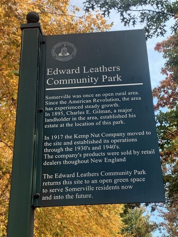
Photographed by Marc Posner, October 26, 2023
1. Edward Leathers Community Park Marker
Somerville was once an open rural area. Since the American Revolution, the area has experienced steady growth. In 1895, Charles E. Gilman, a major landowner in the area, established his estate at the location of this park.
In 1971 the Kemp Nut Company moved to the site and established its operations through the 1930's and 1940's. The company's products were sold by retail dealers throughout New England.
The Edward Leathers Community Park returns this site to an open green space to serve Somerville residents now and into the future.
Erected 2004.
Topics. This historical marker is listed in these topic lists: Industry & Commerce • Parks & Recreational Areas. A significant historical year for this entry is 1895.
Location. 42° 23.228′ N, 71° 5.639′ W. Marker is in Somerville, Massachusetts, in Middlesex County. It is in Winter Hill. It is at the intersection of Skilton Avenue and Pearl Street, on the left when traveling north on Skilton Avenue. Touch for map. Marker is in this post office area: Somerville MA 02145, United States of America. Touch for directions.

Regionally, this marker is in Historic Boston
this page online
Other nearby markers. At least 8 other markers are within walking distance of this marker: Edward L. Leathers (within shouting distance of this marker); The French Redoubt (about 500 feet away, measured in a direct line); Central Hill Playground (about 600 feet away); Winter Hill Station (about 800 feet away); Gilman Square (approx. 0.2 miles away); The First Congregational Unitarian Society in Somerville (approx. 0.2 miles away); George Dilboy (approx. ¼ mile away); George Cedric Stimpson (approx. 0.3 miles away). Touch for a list and map of all markers in Somerville.
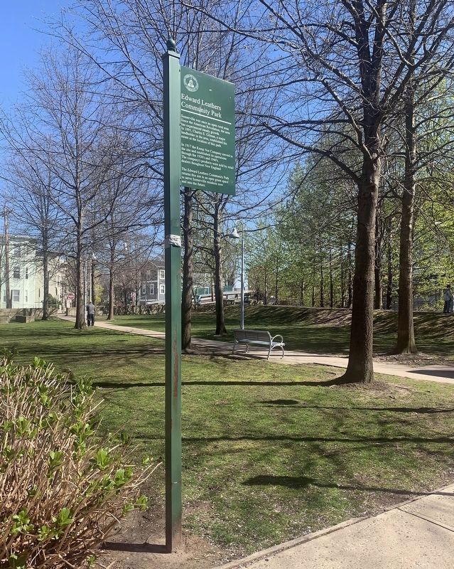
Photographed by Marc Posner, April 23, 2024
2. Edward Leathers Community Park
Credits. This page was last revised on June 14, 2024. It was originally submitted on March 15, 2024, by Marc Posner of Somerville, Massachusetts. This page has been viewed 270 times since then and 46 times this year. Photos: 1. submitted on March 15, 2024, by Marc Posner of Somerville, Massachusetts. 2. submitted on June 7, 2024, by Marc Posner of Somerville, Massachusetts. • Michael Herrick was the editor who published this page.
