
Kempsville in Virginia Beach, Virginia — The American South (Mid-Atlantic)
Pleasant Grove Baptist Church and Cemetery
Photographed by Brandon D Cross
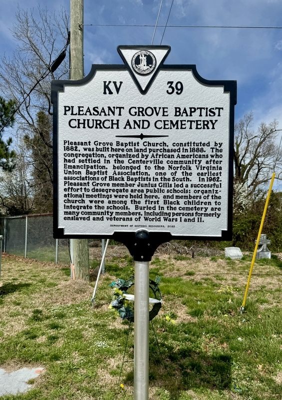
1. Pleasant Grove Baptist Church and Cemetery Marker
Pleasant Grove Baptist Church, constituted by 1882, was built here on land purchased in 1888. The congregation, organized by African Americans who had settled in the Centerville community after emancipation, belonged to the Norfolk Virginia Union Baptist Association, one of the earliest associations of Black Baptists in the South. In 1962, Pleasant Grove member Junius Gilis led a successful effort to desegregate area public schools: organizational meetings were held here, and members of the church were among the first Black children to integrate the schools. Buried in the cemetery are many community members, including persons formerly enslaved and veterans of World Wars I and Il.
Erected 2022 by Department of Historic Resources. (Marker Number KV-39.)
Topics. This historical marker is listed in these topic lists: African Americans • Cemeteries & Burial Sites • Religion & Religious Structures. A significant historical year for this entry is 1882.
Location. 36° 46.78′ N, 76° 11.627′ W. Marker is in Virginia Beach, Virginia. It is in Kempsville. It is at the intersection of Kempsville Road and Lincolnshire Place,
this page online

Regionally, this marker is in Virginia’s Hampton Roads, specifically in Coastal Virginia, and in the Hampton Roads Metropolitan Area. It is also in the American South, specifically in the Upper South, in the Tidewater, and on the Eastern Seaboard. Globally, it is in the North Atlantic Region, North America, the Western Hemisphere, the Western World, and the Anglosphere. Historically, it finds itself in what was once the territory of the Mississippian Culture, one of the original Thirteen Colonies, one of the Confederate States of America, and the Antebellum South.
Other nearby markers. At least 8 other markers are within 4 miles of this marker, measured as the crow flies: Robertson Hall (approx. 1½ miles away); Never Forget (approx. 2.6 miles away); Picking Up the Pieces (approx. 2.6 miles away); The Day that Shook America (approx. 2.6 miles away); Kempsville Pony-Colt Field (approx. 3.6 miles away); In Tribute to Senator Frank Wagner / Gift of Ownership
Photographed by Brandon D Cross
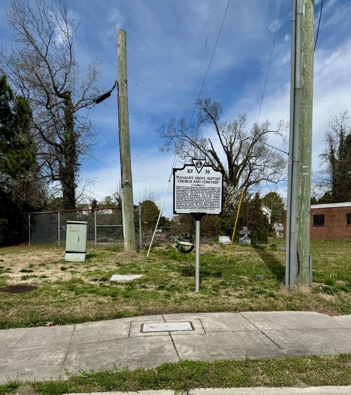
2. Pleasant Grove Baptist Church and Cemetery Marker
Also see . . . Pleasant Grove Baptist Church marker tells legacy of Church’s 153 years. New Journal and Guide website entry (Submitted on March 15, 2024, by Brandon D Cross of Flagler Beach, Florida.)
Credits. This page was last revised on August 14, 2025. It was originally submitted on March 15, 2024, by Brandon D Cross of Flagler Beach, Florida. This page has been viewed 654 times since then and 118 times this year. Photos: 1, 2. submitted on March 15, 2024, by Brandon D Cross of Flagler Beach, Florida. • J. J. Prats was the editor who published this page.
