Clinton in Middlesex County, Connecticut — The American Northeast (New England)
The Hammock Marshes
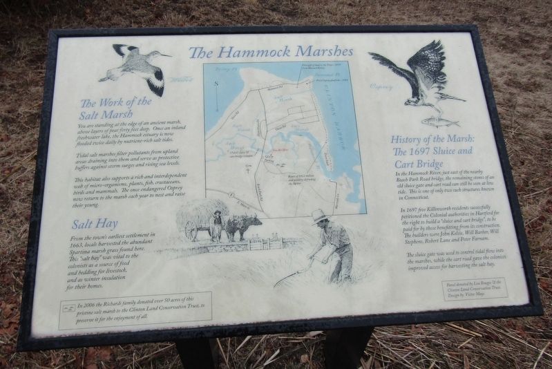
The Work of the Salt Marsh
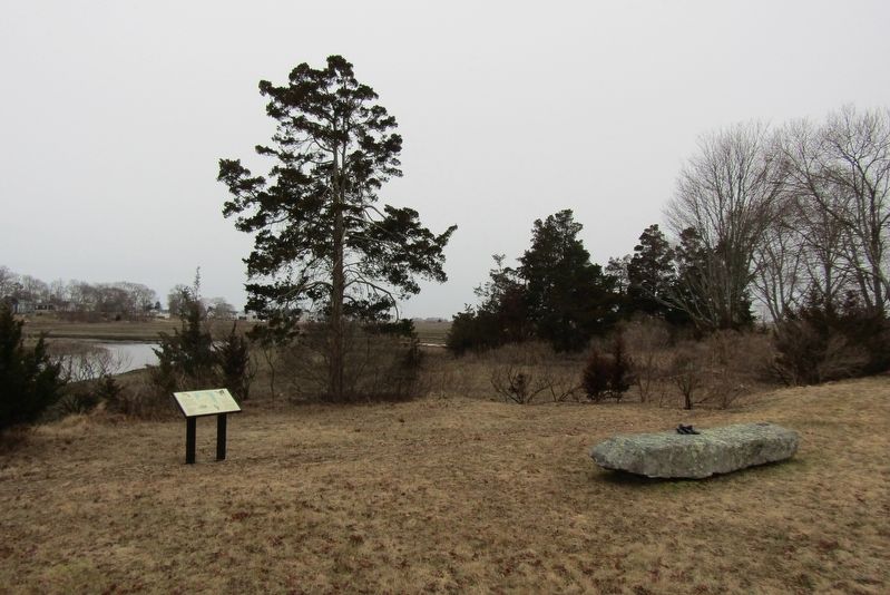
You are standing at the edge of an ancient marsh, above layers of peat forty feet deep. Once an inland freshwater lake, the Hammock estuary is now flooded twice daily by nutrient-rich salt tides.
Tidal salt marshes filter pollutants from upland areas draining into them and serve as protective buffers against storm surges and rising sea levels.
This habitat also supports a rich and interdependent web of micro-organisms, plants, fish, crustaceans, birds and mammals. The once endangered Osprey now return to the marsh each year to nest and raise their young.
Salt Hay
From the town's earliest settlement in 1663, locals harvested the abundant Spartina marsh grass found here. This "salt hay" was vital to the colonists as a source of food and bedding for livestock, and as winter insulation for their homes.
History of the Marsh: The 1697 Sluice and Cart Bridge
In the Hammock River, just east of the nearby Beach Park Road bridge, the remaining stones of an old sluice gate and cart road can still be seen at low tide. This is one of only two such structures known in Connecticut.
In 1697 five Killinworth residents successfully petitioned the Colonial authorities in Hartford for the right to build a "sluice and cart bridge", to be paid for by those benefitting from its construction. The builders were John Kelsie, Will Barber, Will Stephens, Robert Lane and Peter Farnam.
The sluice gate was used to control tidal flow into the marshes, while the cart road gave the colonists improved access for harvesting the salt hay.
In 2006 the Richards family donated over 50 acres of this pristine salt marsh to the Clinton Land Conservation Trust, to preserve it for the enjoyment of all.
Erected by Clinton Land Conservation Trust.
Topics. This historical marker is listed in these topic lists: Agriculture • Bridges & Viaducts • Colonial Era • Settlements & Settlers. A significant historical year for this entry is 1697.
Location. 41° 16.062′ N, 72° 30.649′ W. Marker is in Clinton, Connecticut, in Middlesex County. Marker can be reached from Osprey Commons South east of Beach Park Road, on the right when traveling east. Touch for map. Marker is at or near this postal address: 3 Osprey Commons S, Clinton CT 06413, United States of America. Touch for directions.
Other nearby markers. At least 8 other markers are within walking distance of this marker. The Coastal Nature Walk (approx. 0.4 miles away); War of 1812 in Clinton (approx. half a mile away); Clinton Soldiers Monument (approx. ¾ mile away); This Cannon (approx. ¾ mile away); Lafayette's Tour (approx. ¾ mile away); Abraham Pierson (approx. 0.9 miles away); Charles Morgan (approx. 0.9 miles away); Milestone (approx. 0.9 miles away). Touch for a list and map of all markers in Clinton.
Credits. This page was last revised on March 29, 2024. It was originally submitted on March 16, 2024, by Conrad Ward of Clinton, Connecticut. This page has been viewed 37 times since then. Photos: 1, 2. submitted on March 16, 2024, by Conrad Ward of Clinton, Connecticut. • Devry Becker Jones was the editor who published this page.

