West End in Cincinnati in Hamilton County, Ohio — The American Midwest (Great Lakes)
Chestnut Street Cemetery / Two Centuries of Jewish Cincinnati
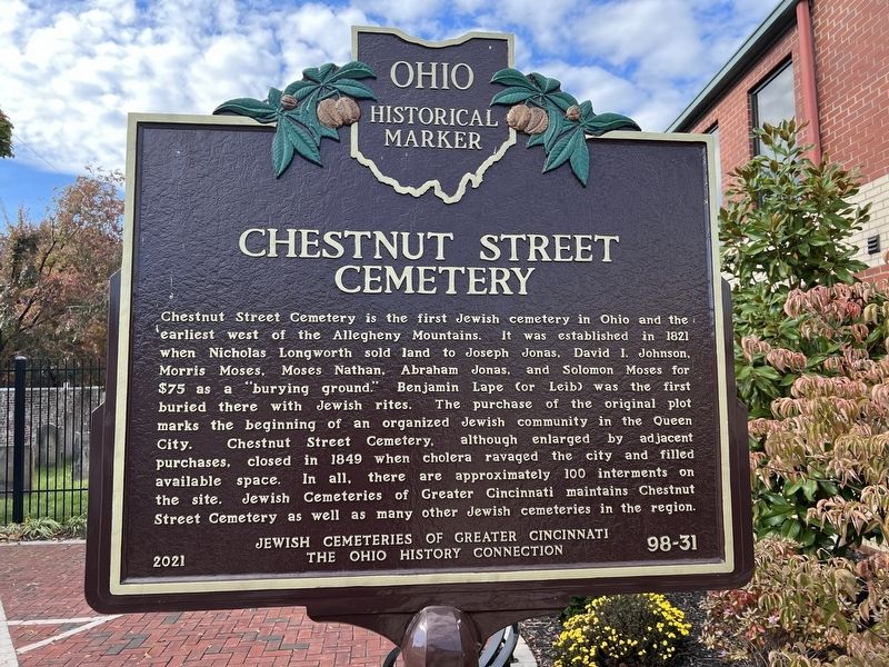
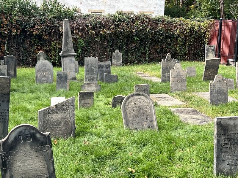
Chestnut Street Cemetery. Chestnut Street Cemetery is the first Jewish cemetery in Ohio and the earliest west of the Allegheny Mountains. It was established in 1821 when Nicholas Longworth sold land to Joseph Jonas, David I. Johnson, Morris Moses, Moses Nathan, Abraham Jonas, and Solomon Moses for $75 as a “burying ground.” Benjamin Lape (or Leib) was the first buried there with Jewish rites. The purchase of the original plot marks the beginning of an organized Jewish community in the Queen City. Chestnut Street Cemetery, although enlarged by adjacent purchases, closed in 1849 when cholera ravaged the city and filled available space. In all, there are approximately 100 interments on the site. Jewish Cemeteries of Greater Cincinnati maintains Chestnut Street Cemetery as well as many other Jewish cemeteries in the region.
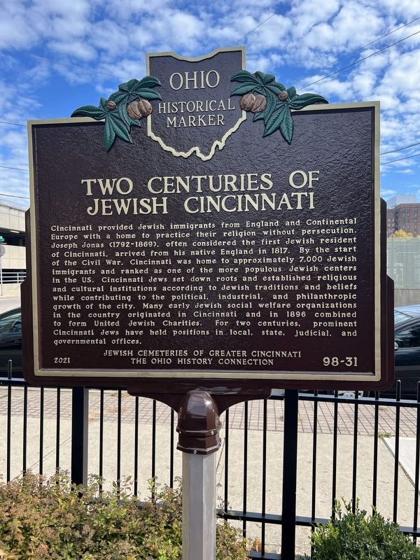
Two Centuries of Jewish Cincinnati. Cincinnati provided Jewish immigrants from England and Continental Europe with a home to practice their religion without persecution. Joseph Jonas (1792-1869), often considered the first Jewish resident of Cincinnati, arrived from his native England in 1817. By the start of the Civil War, Cincinnati was home to approximately 7,000 Jewish immigrants and ranked as one of the more populous Jewish centers in the US. Cincinnati Jews set down roots and established religious and cultural institutions according to Jewish traditions and beliefs while contributing to the political, industrial, and philanthropic growth of the city. Many early Jewish social welfare organizations in the country originated in Cincinnati and in 1896 combined to form United Jewish Charities. For two centuries, prominent Cincinnati Jews have held positions in local, state, judicial, and governmental offices.
Erected 2021 by Jewish Cemeteries of Greater Cincinnati; The Ohio History Connection. (Marker Number 98-31.)
Topics and series. This historical marker is listed in these topic lists: Cemeteries & Burial Sites • Churches & Religion • Immigration. In addition, it is included in the Ohio Historical Society / The Ohio History Connection series list. A significant historical year for this entry is 1821.
Location. 39° 6.435′ N, 84° 31.273′ W. Marker is in Cincinnati, Ohio, in Hamilton County. It is in West End. Marker is at the intersection of Central Avenue and Chestnut Street, on the left when traveling north on Central Avenue. Touch for map. Marker is at or near this postal address: 1053 Central Ave, Cincinnati OH 45202, United States of America. Touch for directions.
Other nearby markers. At least 8 other markers are within walking distance of this marker. The Oldest Jewish Cemetery West of the Allegheny Mountains (here, next to this marker); The Betts House, 1804 (about 300
feet away, measured in a direct line); The Gamble House (about 300 feet away); Gaines High School / Peter H. Clark (about 700 feet away); The Miami and Erie Canal (approx. 0.2 miles away); Robert L. McCook Monument / Friedrich Hecker Monument (approx. 0.2 miles away); Hecker (approx. 0.2 miles away); Washington Park History / Cannon From Farragut's Fleet At Mobile Bay (approx. 0.2 miles away). Touch for a list and map of all markers in Cincinnati.
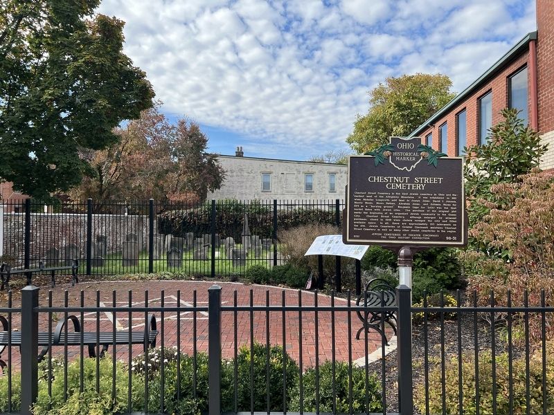
More about this marker. The marker itself is accessible from the brick pavilion, but the actual cemetery is behind a locked gate.
Credits. This page was last revised on March 20, 2024. It was originally submitted on March 16, 2024, by Grant & Mary Ann Fish of Galloway, Ohio. This page has been viewed 43 times since then. Photos: 1, 2, 3, 4, 5. submitted on March 16, 2024, by Grant & Mary Ann Fish of Galloway, Ohio. • Devry Becker Jones was the editor who published this page.
Editor’s want-list for this marker. Photos of the marker inside of the gate (this almost certainly qualifies for its own profile) • Can you help?
