Forrest City in St. Francis County, Arkansas — The American South (West South Central)
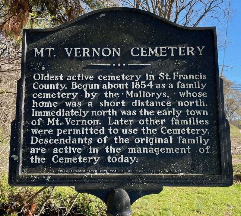
Mt. Vernon Cemetery
Photographed by Mark Hilton, March 19, 2024
1. Mt. Vernon Cemetery Marker
Erected 1977 by R.B. McG.
Topics. This historical marker is listed in this topic list: Cemeteries & Burial Sites. A significant historical year for this entry is 1854.
Location. 35° 1.463′ N, 90° 46.912′ W. Marker is in Forrest City, Arkansas, in St. Francis County. It is on New Castle Road (Arkansas Route 284) 0.4 miles south of Kittle Road, on the right when traveling south. Touch for map. Marker is in this post office area: Forrest City AR 72335, United States of America. Touch for directions.

Regionally, this marker is in Crowley’s Ridge, in the Mississippi Alluvial Plain, in the Cherokee Heritage Region, and in Greater Memphis. It is also in the American South, specifically in the Upper South, and in the Mississippi Delta. Globally, it is in North America, the Western
this page online
Other nearby markers. At least 8 other markers are within 8 miles of this marker, measured as the crow flies: Campbell House (approx. 0.9 miles away); St. Francis County Troops in the War Between the States (approx. 1.1 miles away); Forrest’s Camp (approx. 1.1 miles away); Veterans Memorial (approx. 1.1 miles away); Old Courthouse Bell (approx. 1.1 miles away); Madison in the Civil War (approx. 2.9 miles away); Old Military Road (approx. 7.6 miles away); Taylor's Creek and Mount Vernon (approx. 7.6 miles away). Touch for a list and map of all markers in Forrest City.
Photographed by Mark Hilton, March 19, 2024
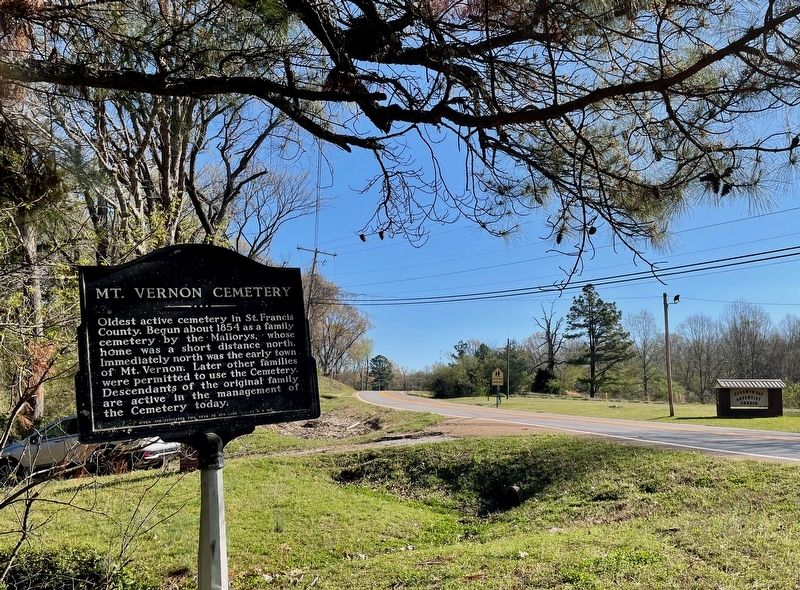
2. View from marker looking north on New Castle Rd.
Photographed by Mark Hilton, March 19, 2024
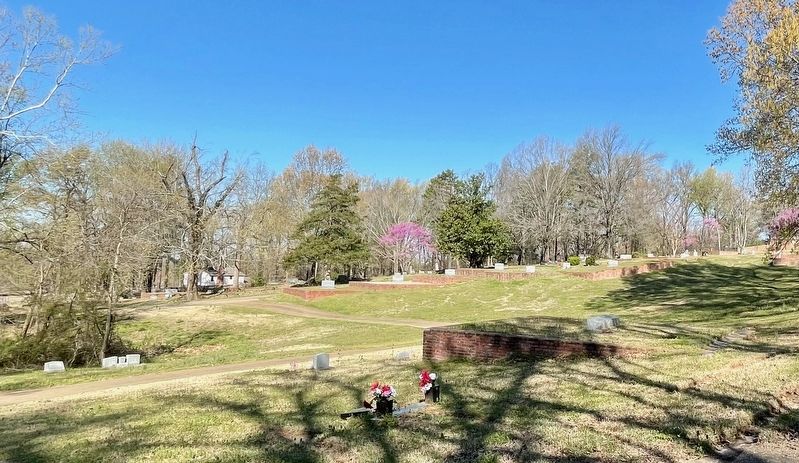
3. Mt. Vernon Cemetery
Credits. This page was last revised on March 19, 2024. It was originally submitted on March 19, 2024, by Mark Hilton of Montgomery, Alabama. This page has been viewed 325 times since then and 52 times this year. Photos: 1, 2, 3. submitted on March 19, 2024, by Mark Hilton of Montgomery, Alabama.
