Rentiesville in McIntosh County, Oklahoma — The American South (West South Central)
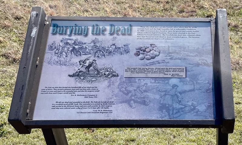
Burying the Dead
Honey Springs Battlefield
— Interpretive Trail Five · Last Engagement —
The Feds say that they buried one hundred fifty of our dead and the same of theirs. They turned a prisoner loose and sent him with a letter to Cooper to come and tend to his wounded men and that his surgeons would stay with them until Cooper would send his.
Pvt. R. McDermott, Company A,
20th Texas, CSA
We left our dead and wounded on the field. The Federals buried our dead in a cornfield north of Elk Creek. Our wounded were picked up by the Federals and carried to the McIntosh house and were well cared for by their surgeons until they were relieved under a flag of truce 5 or 6 days after the battle.
Corp. W. K. Makemson,
1st Choctaw and Chickasaw Regiment, CSA
Erected 2019 by Friends of Honey Springs Battlefield.
Topics and series. This historical marker is listed in these topic lists: Cemeteries & Burial Sites • War, US Civil. In addition, it is included in the Honey Springs Battlefield series list. A significant historical year for this entry is 1868.
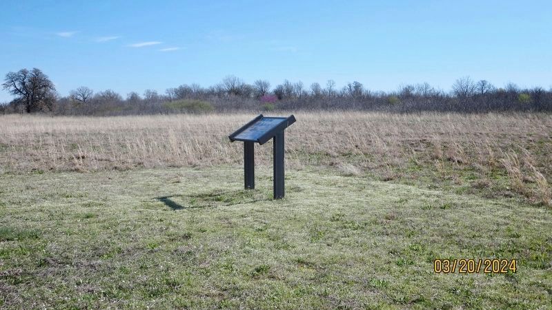
Location. 35° 32.304′ N, 95° 28.824′ W. Marker is in Rentiesville, Oklahoma, in McIntosh County. Marker can be reached from Honey Springs Battlefield Road, 0.2 miles north of East 1020 Road, on the right when traveling north. Touch for map. Marker is in this post office area: Rentiesville OK 74459, United States of America. Touch for directions.
Other nearby markers. At least 8 other markers are within walking distance of this marker. Treating the Wounded (within shouting distance of this marker); The Armies Rest and Recuperate (within shouting distance of this marker); 1st Choctaw & Chickasaw Mounted Rifles (within shouting distance of this marker); William Frederick McIntosh (about 400 feet away, measured in a direct line); Private Cemetery (about 400 feet away); The Final Engagement (about 400 feet away); The Confederate Headquarters and Reserve Units (approx. 0.6 miles away); Battlefield Archaeology (approx. 0.6 miles away). Touch for a list and map of all markers in Rentiesville.
Credits. This page was last revised on March 22, 2024. It was originally submitted on March 22, 2024, by Mark Hilton of Montgomery, Alabama. This page has been viewed 41 times since then. Photos: 1, 2. submitted on March 22, 2024, by Mark Hilton of Montgomery, Alabama.

