Near Oktaha in Muskogee County, Oklahoma — The American South (West South Central)
How We Know What We Know · Archeological Surveys & Interviews
Honey Springs Battlefield
— Interpretive Trail Four · Battle at the Bridge —
Inscription.
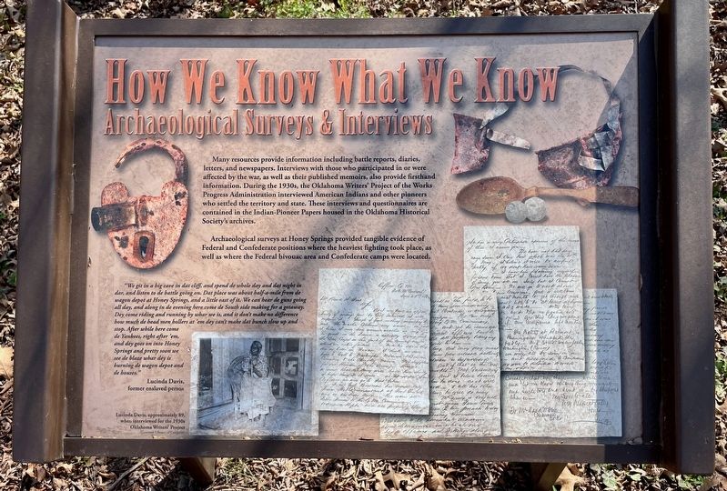
Many resources provide information including battle reports, diaries,
letters, and newspapers. Interviews with those who participated in or were
affected by the war, as well as their published memoirs, also provide firsthand
information. During the 1930s, the Oklahoma Writers' Project of the Works
Progress Administration interviewed American Indians and other pioneers
who settled the territory and state. These interviews and questionnaires are
contained in the Indian-Pioneer Papers housed in the Oklahoma Historical
Society's archives.
Archaeological surveys at Honey Springs provided tangible evidence of Federal and Confederate positions where the heaviest fighting took place, as well as where the Federal bivouac area and Confederate camps were located.
"We git in a big cave in dat cliff, and spend de whole day and dat night in dar, and listen to de battle going on. Dat place was about half-a-mile from de wagon depot at Honey Springs, and a little east of it. We can hear de guns going all day, and along in de evening here come de South side making for a getaway. Dey come riding and running by whar we is, and it don't make no difference how much de head men hollers at 'em dey can't make dat bunch slow up and stop. After while here come stop. After while here come de Yankees, right after 'em, and dey goes on into Honey Springs and pretty soon we see de blaze whar dey is burning de wagon depot and de houses."
Lucinda Davis,
former enslaved person
Caption:
Lucinda Davis, approximately 89, when interviewed for the 1930s Oklahoma Writers' Project
(Courtesy Library of Congress)
Erected 2019 by Friends of Honey Springs Battlefield.
Topics and series. This historical marker is listed in these topic lists: Anthropology & Archaeology • War, US Civil. In addition, it is included in the Honey Springs Battlefield series list.
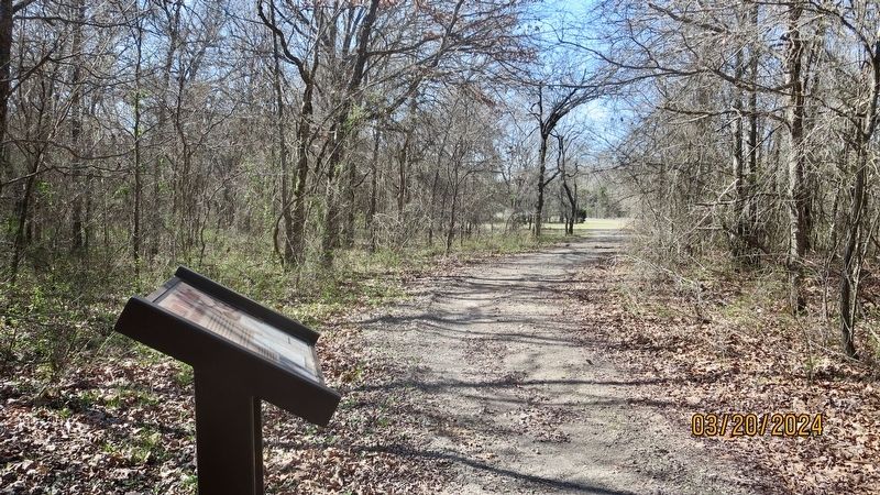
Location. 35° 33.093′ N, 95° 28.489′ W. Marker is near Oktaha, Oklahoma, in Muskogee County. Marker can be reached from Honey Springs Battlefield Road, 1.4 miles north of East 1020 Road, on the right when traveling north. Touch for map. Marker is in this post office area: Oktaha OK 74450, United States of America. Touch for directions.
Other nearby markers. At least 8 other markers are within walking distance of this marker. How We Know What We Know · Letters, Diaries, & On-The-Spot Reporting (within shouting distance of this marker); Battle for the Bridge (within shouting distance of this marker); Farming and Communities · along the Texas Road (about 300 feet away, measured in a direct line); The Toll Bridge and Fords · Crossing Elk Creek (about 700 feet away); Defending the Bridge · and other Fighting along Elk Creek (about 700 feet away); Southern Camps (about 700 feet away); How We Know What We Know · Official Reports (about 800 feet away); 1st and 2nd Regiments of Cherokee Mounted Rifles (approx. 0.4 miles away). Touch for a list and map of all markers in Oktaha.
Credits. This page was last revised on March 25, 2024. It was originally submitted on March 23, 2024, by Mark Hilton of Montgomery, Alabama. This page has been viewed 98 times since then. Photos: 1, 2. submitted on March 23, 2024, by Mark Hilton of Montgomery, Alabama.

