Saint Anthony Main in Minneapolis in Hennepin County, Minnesota — The American Midwest (Upper Plains)
The Falls Evolve
Geology
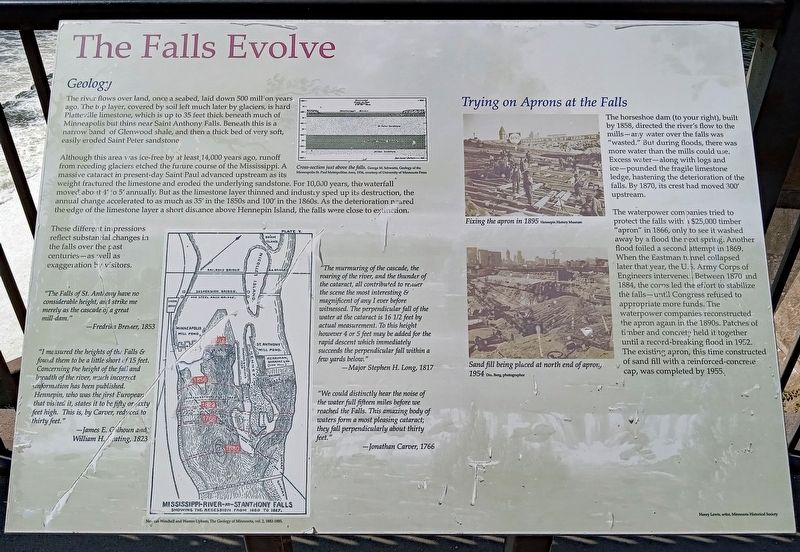
The river flows over land, once a seabed, laid down 500 million years ago. The top layer, covered by soil left much later by glaciers, is hard Platteville limestone, which is up to 35 feet thick beneath much of Minneapolis but thins near Saint Anthony Falls. Beneath this is a narrow band of Glenwood shale, and then a thick bed of very soft, easily eroded Saint Peter Sandstone.
Cross-section just above the falls. George M. Schwartz, Geology of the Minneapolis-St. Paul Metropolitan Area, 1936, courtesy of University of Minnesota Press
Although this area was ice-free by at least 14,000 years ago, runoff from receding glaciers etched the future course of the Mississippi. A massive cataract in present-day Saint Paul advanced upstream as its weight fractured the limestone and eroded the underlying sandstone. For 10,000 years, the waterfall moved about 4' to 5' annually. But as the limestone layer thinned and industry sped up its destruction, the annual change accelerated to as much as 35' in the 1850s and 100' in the 1860s. As the deterioration neared the edge of the limestone layer a short distance above Hennepin Island, the falls were close to extinction.
These different impressions reflect substantial changes in the falls over the past centuries—as well as exaggeration by visitors.
"The Falls of St. Anthony have no considerable heights, and strike me merely as the cascade of a great mill-dam."
–Fredrika Bremer, 1853
"I measured the heights of the Falls & found them to be a little short of 15 feet. Concerning the height of the fall and breadth of the river, much incorrect information has been published. Hennepin, who was the first European that visited it, states it to be fifty or sixty feet high. This is, by Carver, reduced to thirty feet."
–James E. Colhoun and William H. Keating, 1823
Newton Winchell and Warren Upham, The Geology of Minnesota, vol. 2, 1882-1885.
"The murmuring of the cascade, the roaring of the river, and the thunder of the cataract, all contributed to render the scene the most interesting & magnificent of any I ever before witnessed. The perpendicular fall of the water at the cataract is 16 1/2 feet by actual measurement. To this height however 4 or 5 feet may be added for the rapid descent which immediately succeeds the perpendicular fall within a few yards below.
–Major Stephen H. Long, 1817
"We could distinctly hear the noise of the water full fifteen miles before we reached the Falls. This amazingbody of waters form a most pleasing cataract; they fall perpendicularly about thirty feet."
–Jonathan Carver, 1766
Trying on Aprons at the Falls
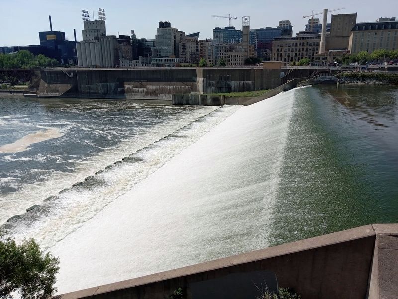
The horseshoe dam (to your right), built by 1858, directed the river's flow to the mills—any water over the falls was "wasted." But during floods, there was more water than the mills could use. Excess water—along with logs and ice—pounded the fragile limestone ledge, hastening the deterioration of the falls. By 1870, its crest had moved 300' upstream.
Fixing the apron in 1895 Hennepin History Museum
The waterpower companies tried to protect the falls with a $25,000 timber "apron" in 1866, only to see it washed away by a flood the next spring. Another flood foiled a second attempt in 1869. When the Eastman tunnel collapsed later that year, the U.S. Army Corps of Engineers intervened. Between 1870 and 1884, the corps led the effort to stabilize the falls—until Congress refused to appropriate more funds. The waterpower companies reconstructed the apron again in the 1890s. Patches of timber and concrete held it together until a record-breaking flood in 1952. The existing apron, this time constructed of sand fill with a reinforced-concrete cap, was completed by 1955.
Sand fill being placed at north end of
apron, 1954 Don Berg, photographer
Erected by Xcel Energy.
Topics. This historical marker is listed in these topic lists: Disasters • Environment • Industry & Commerce • Waterways & Vessels.
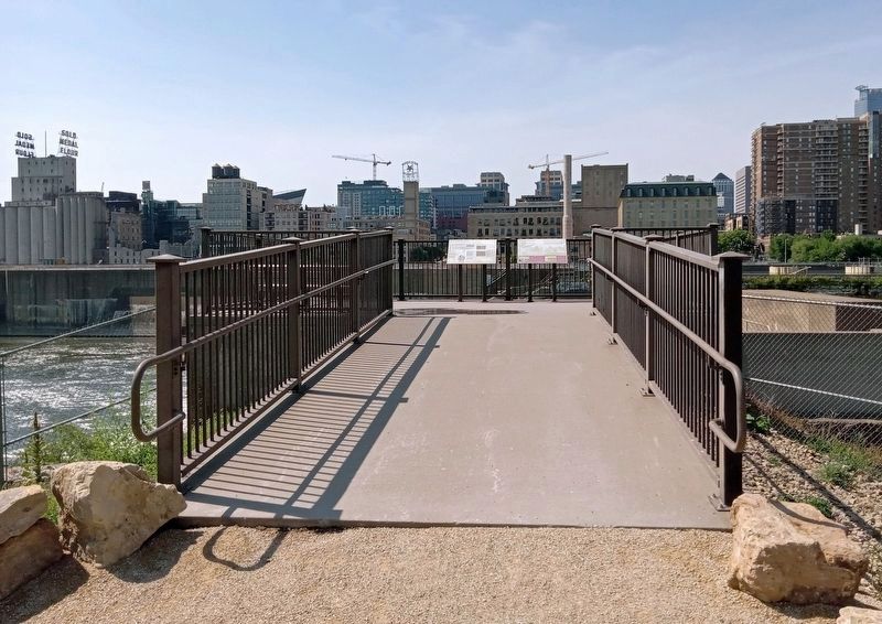
Location. 44° 58.965′ N, 93° 15.438′ W. Marker is in Minneapolis, Minnesota, in Hennepin County. It is in Saint Anthony Main. Marker can be reached from SE Main Street. The marker is in Water Power Park, at the overlook just above the falls. Touch for map. Marker is at or near this postal address: 204 SE Main Street, Minneapolis MN 55414, United States of America. Touch for directions.
Other nearby markers. At least 8 other markers are within walking distance of this marker. "Owah-Menah" (here, next to this marker); Reshaping the Island (within shouting distance of this marker); A Horseshoe for the River (within shouting distance of this marker); Beneath Your Feet (about 300 feet away, measured in a direct line); From Power Plant to Light Switch (about 400 feet away); A Tale of Two Waterpower Companies (about 400 feet away); The Spin on Turbines and Generators (about 400 feet away); A Complex Family Tree (about 400 feet away). Touch for a list and map of all markers in Minneapolis.
Credits. This page was last revised on March 25, 2024. It was originally submitted on March 25, 2024, by McGhiever of Minneapolis, Minnesota. This page has been viewed 45 times since then. Photos: 1. submitted on March 25, 2024, by McGhiever of Minneapolis, Minnesota. 2. submitted on November 18, 2023, by McGhiever of Minneapolis, Minnesota. 3. submitted on March 25, 2024, by McGhiever of Minneapolis, Minnesota.


