Near Newark in New Castle County, Delaware — The American Northeast (Mid-Atlantic)
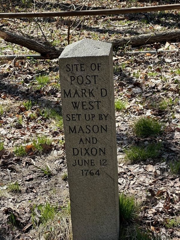
Site of Post Mark'd West
Photographed by Pete Skillman, March 25, 2024
1. Site of Post Mark'd West Marker
Set up by Mason and Dixon June 12 1764
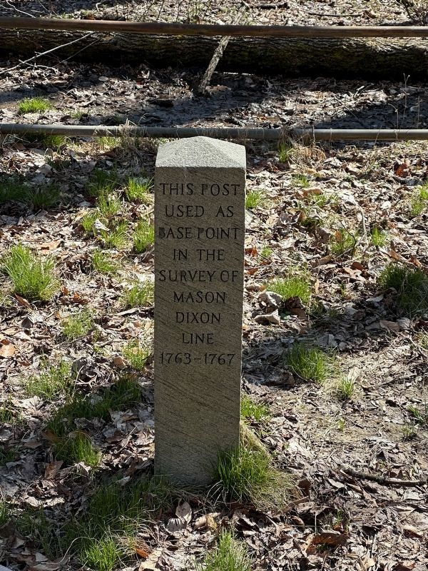
This post used as a base point in the survey of Mason Dixon Line 1763 - 1767
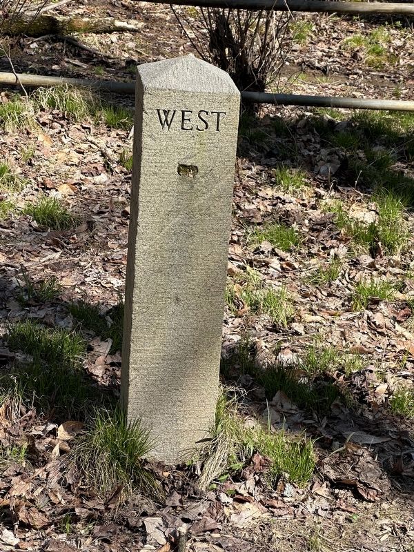
West
Erected 1953 by DuPont.
Topics. This historical marker is listed in these topic lists: Colonial Era • Exploration • Landmarks. A significant historical date for this entry is June 12, 1764.
Location. 39° 43.343′ N, 75° 43.942′ W. Marker is near Newark, Delaware, in New Castle County. It can be reached from Bryan's Field. Touch for map. Marker is at or near this postal address: Bryan's Fld, Newark DE 19711, United States of America. Touch for directions.

Regionally, this marker is in Greater Wilmington and in Greater Philadelphia. It is also in the American Mid-Atlantic, on the Delmarva Peninsula, and on the Eastern Seaboard. Globally, it is in the North Atlantic Region, North America, the Western Hemisphere, the Western World, and the Anglosphere. Historically, it finds itself in what was once New Netherland and also one of the original Thirteen Colonies.
Other nearby markers. At least 8 other markers are within 2 miles of this marker, measured as the crow flies: The Post Mark'd West
this page online
Another marker is no longer nearby. The Judge Morris Estate (was approx. 1.8 miles away but has been replaced with another marker now near it).
Also see . . . Delaware Boundary Markers - National Register of Historic Places Nomination Form.
Perhaps the most significant aspect of the Mason-Dixon survey is its symbolic importance. Beginning at the "Post Marked West" in northwestern Delaware, the survey defines the southern boundary of Pennsylvania, a line that later became the symbolic division between slave and free states.(Submitted on May 12, 2025, by Pete Skillman of Wilmington, Delaware.)
Photographed by Pete Skillman, March 25, 2024
2. Site of Post Mark'd West Marker northern face
Photographed by Pete Skillman, March 25, 2024
3. Site of Post Mark'd West Marker western face
Photographed by Pete Skillman, March 25, 2024
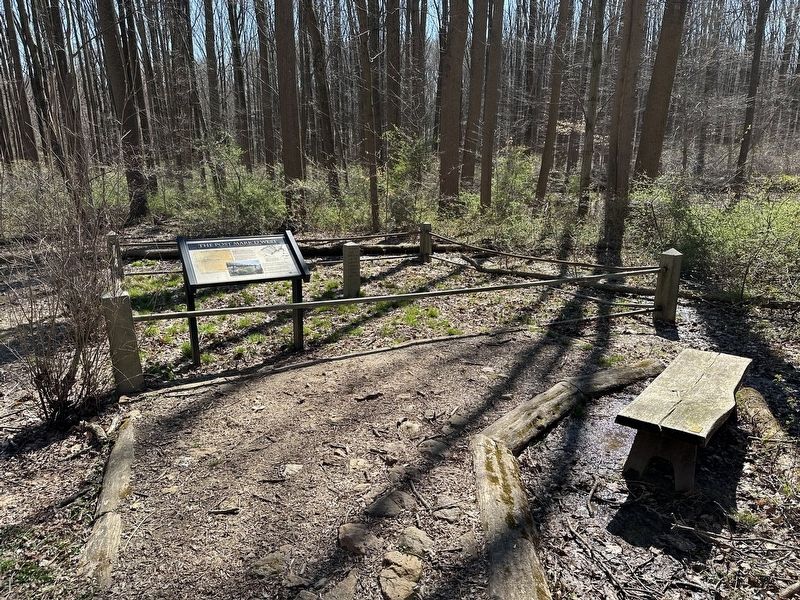
4. Site of Post Mark'd West Marker wide view
Credits. This page was last revised on August 17, 2026. It was originally submitted on March 25, 2024, by Pete Skillman of Wilmington, Delaware. This page has been viewed 569 times since then and 53 times this year. Photos: 1, 2, 3, 4. submitted on March 25, 2024, by Pete Skillman of Wilmington, Delaware. • Bill Pfingsten was the editor who published this page.
